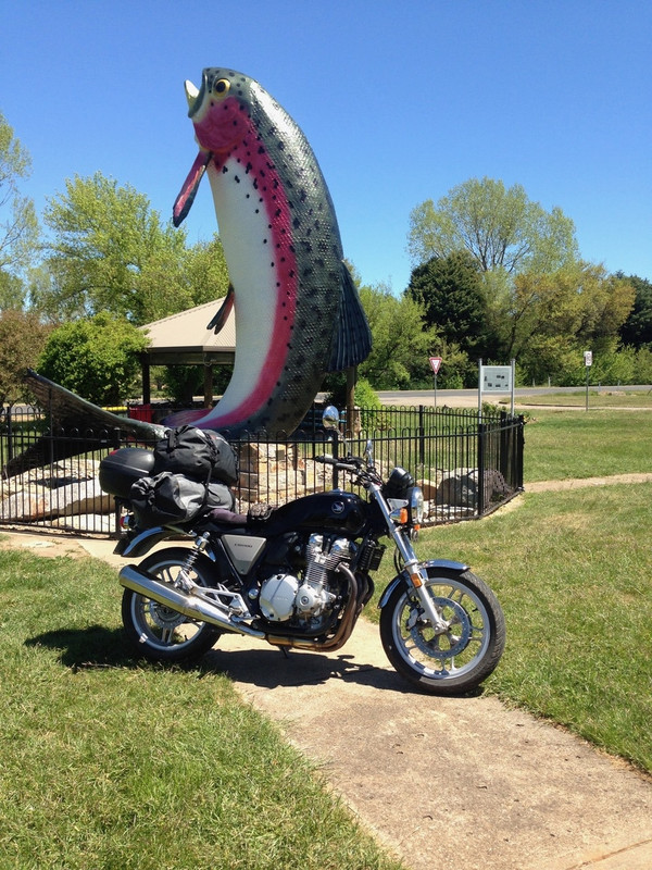
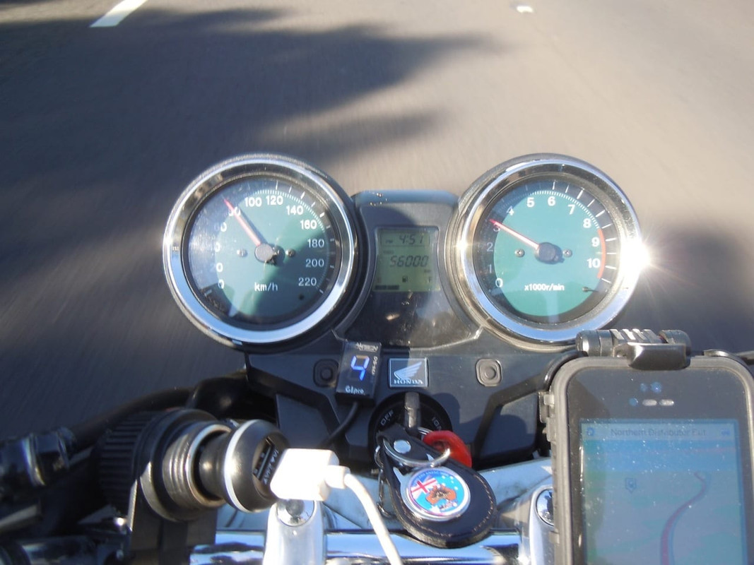
Day 28: Hobart to Deloraine
8 November 2016
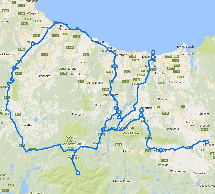
Click on the image for a detailed map
In all my planning for this ride, I had intended to ride back to the ferry via the rugged west coast of Tasmania. I had a similar plan when I last made the trip in 2014. The road to Queenstown is beautiful and challenging and, although I’ve driven it any number of times, I’m yet to ride it on a motorcycle.
The weather stymied me again. There was a forecast of rain; it was cold and I did not want to have to deal with the faint possibility of snow or ice on the section of the road between Lake St Clair and Queenstown. So I decided to have a look at the north-east of Tasmania and, if I could manage it and the weather was OK, visit Cradle Mountain and bits of the north west coast before catching the ferry the following day.
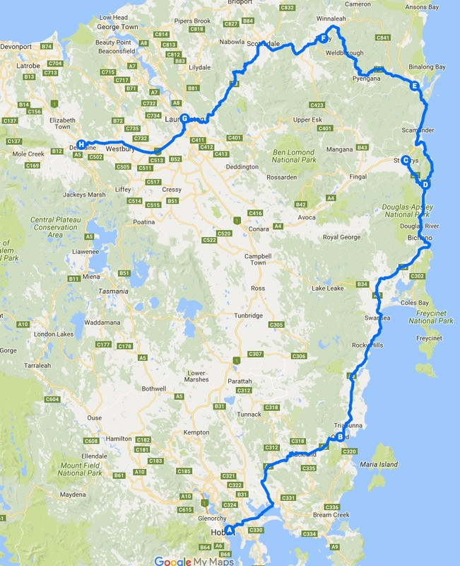
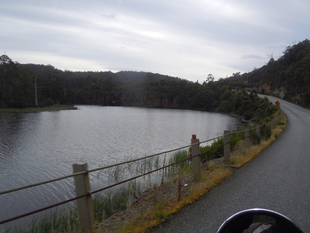
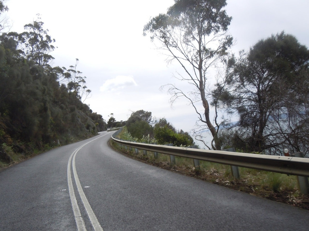
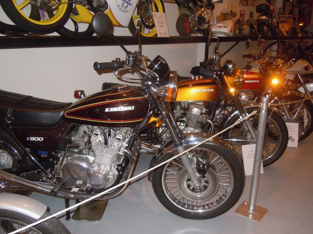
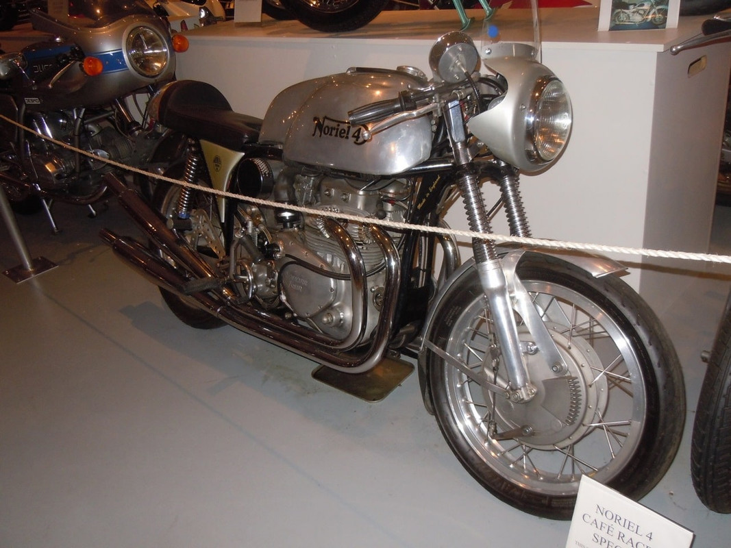
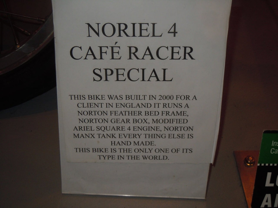
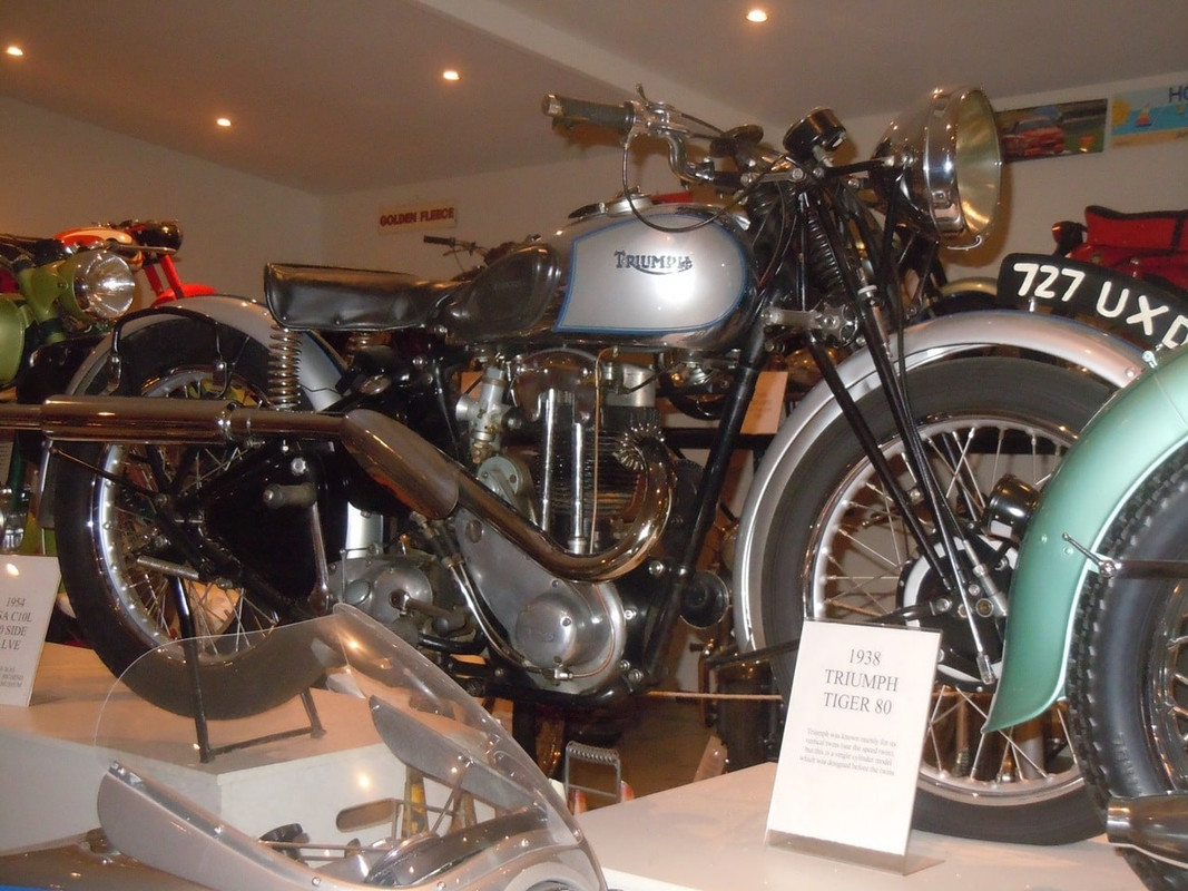
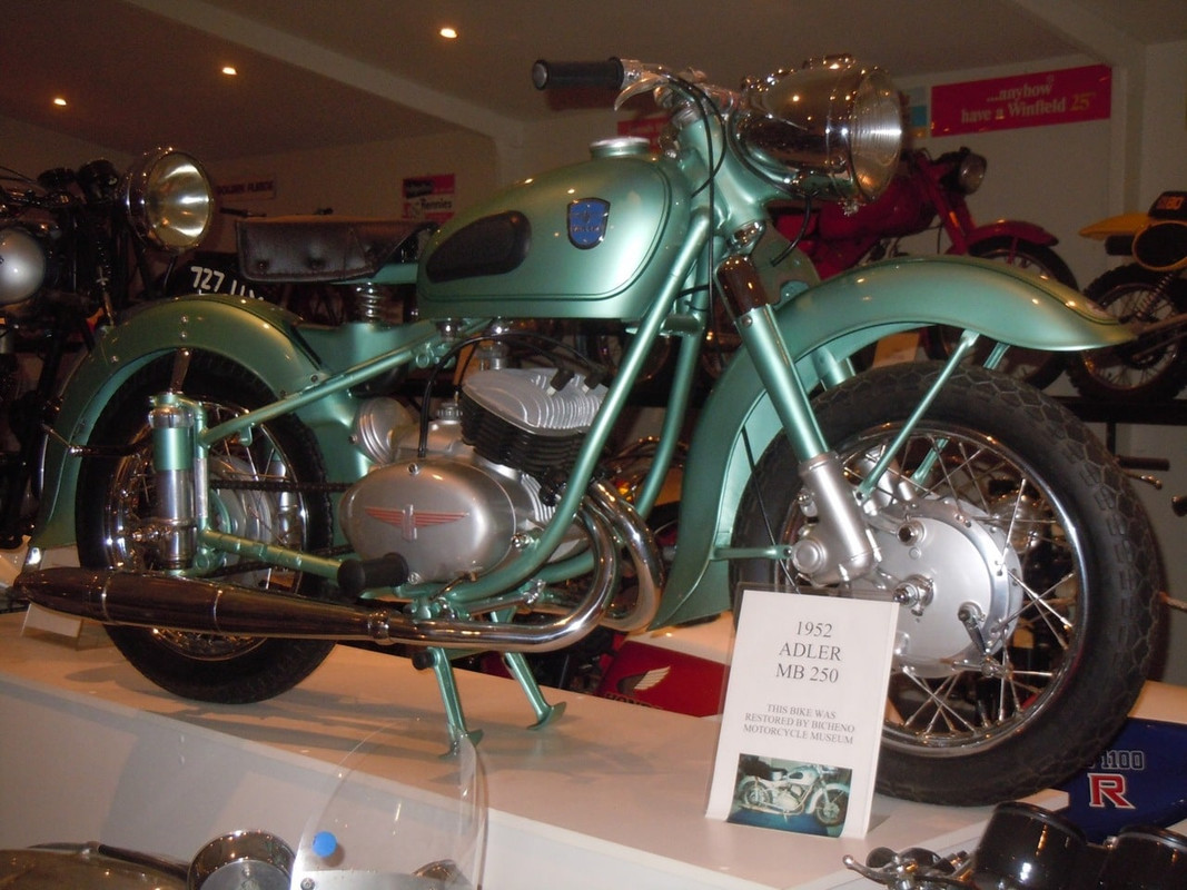
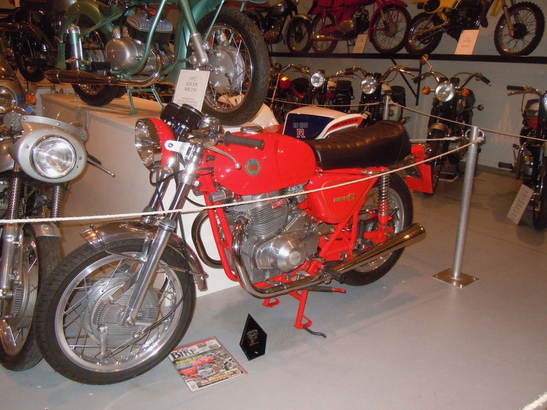
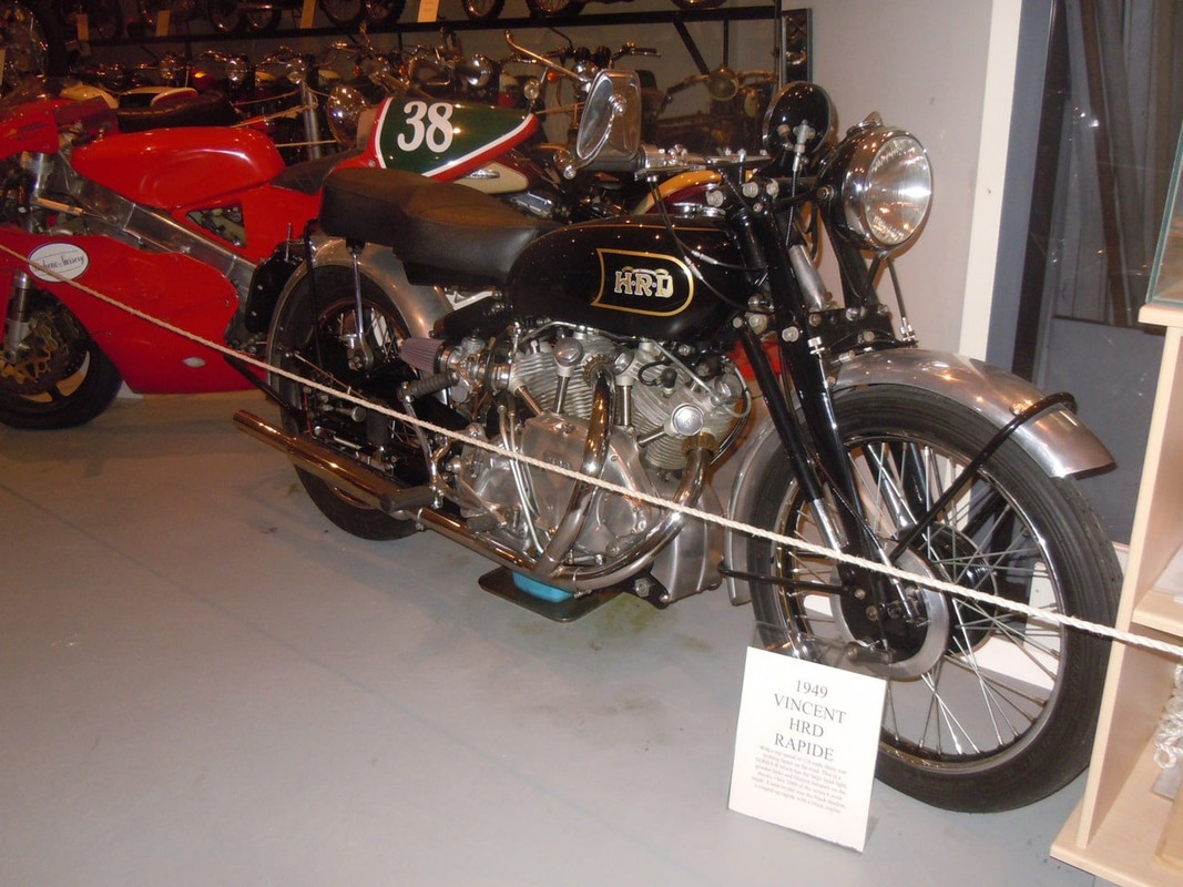
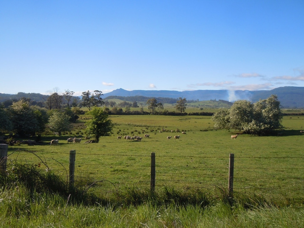
I was underway reasonably early and made good time to Orford via Richmond. I kept going to Swansea and then on to Bicheno where I had coffee and decided to visit the Bicheno Motorcycle Museum.
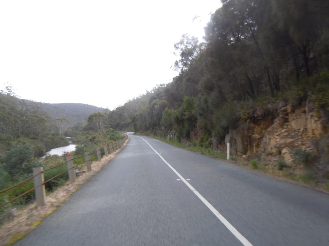
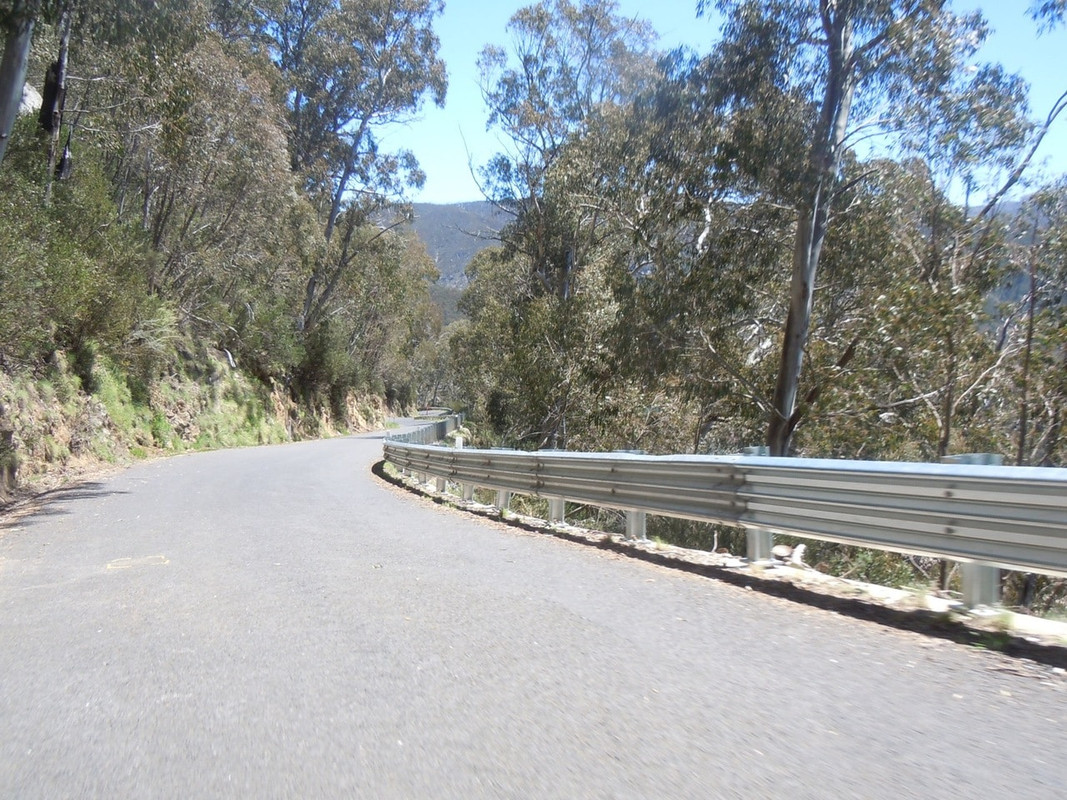
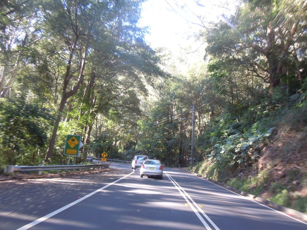
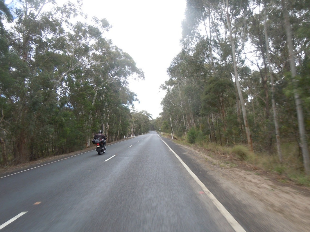
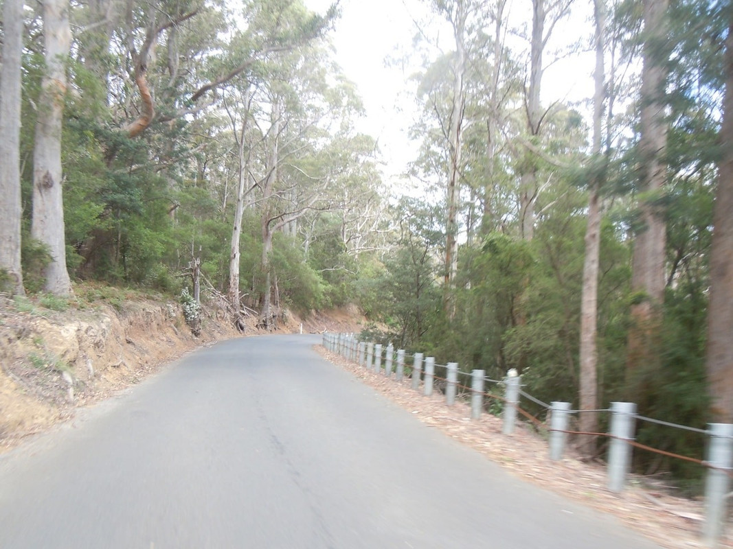
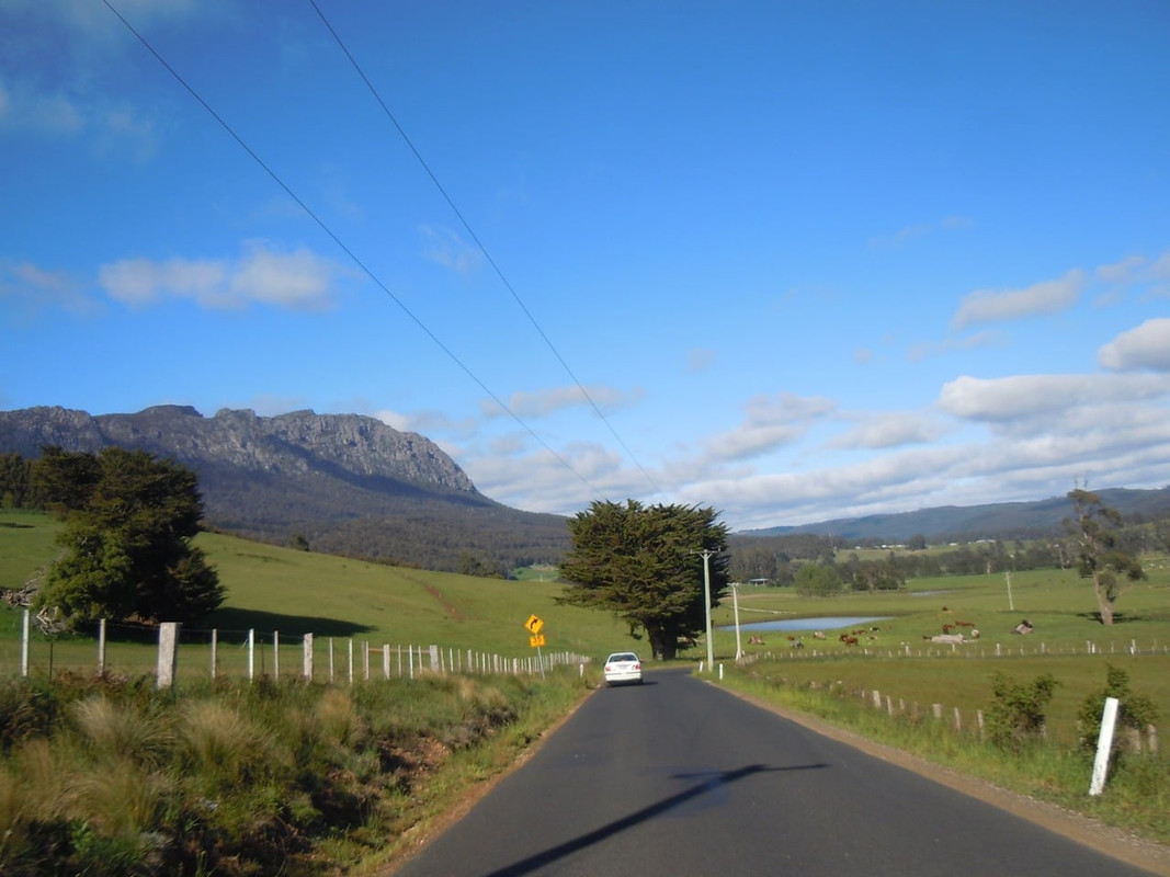
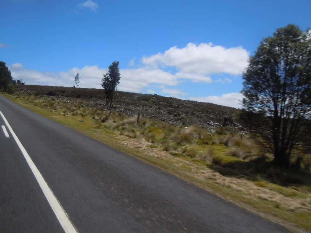
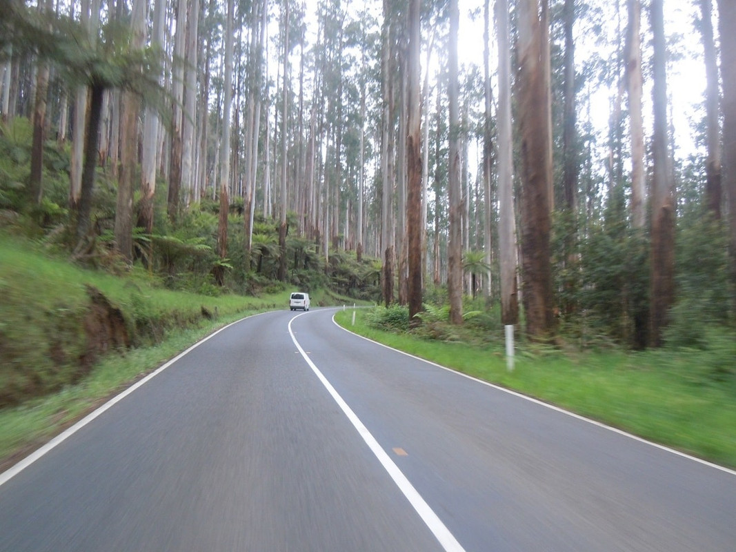
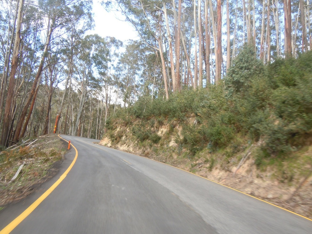
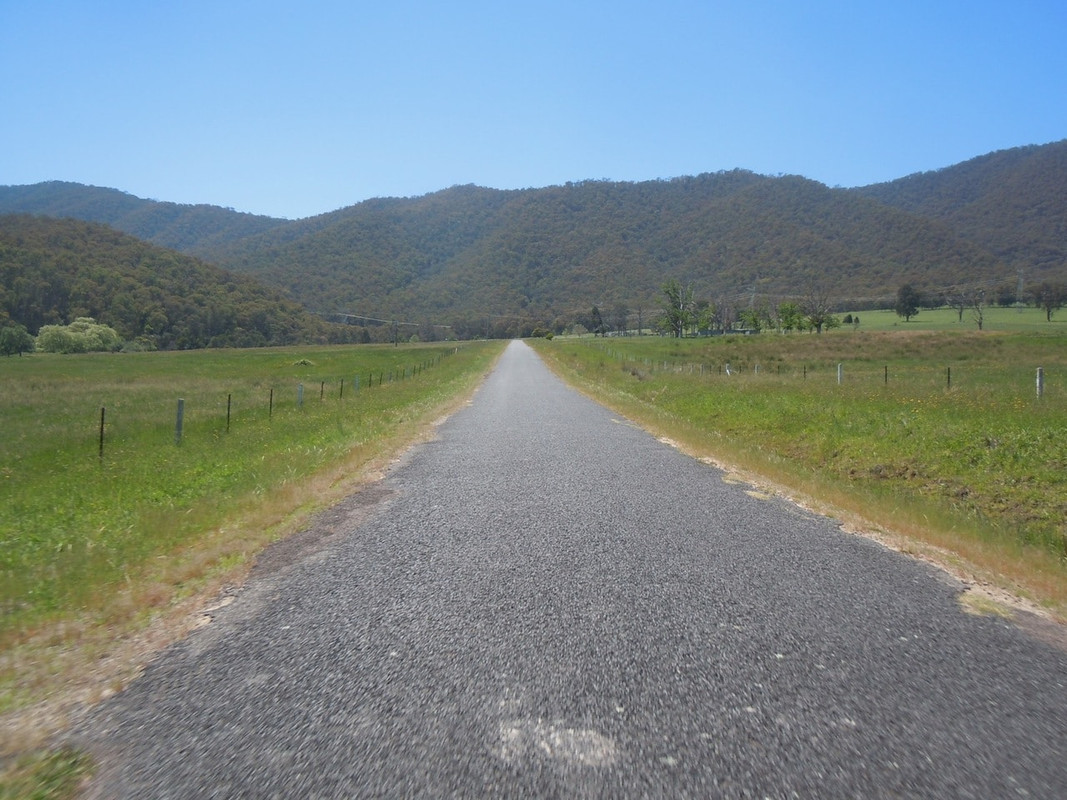
I’ve always enjoyed the final stretch of road which runs alongside the Prosser River into Orford. There’s a sharp turn at the top of the hill ahead in this picture, but otherwise it’s a gentle weave that can be taken quickly.
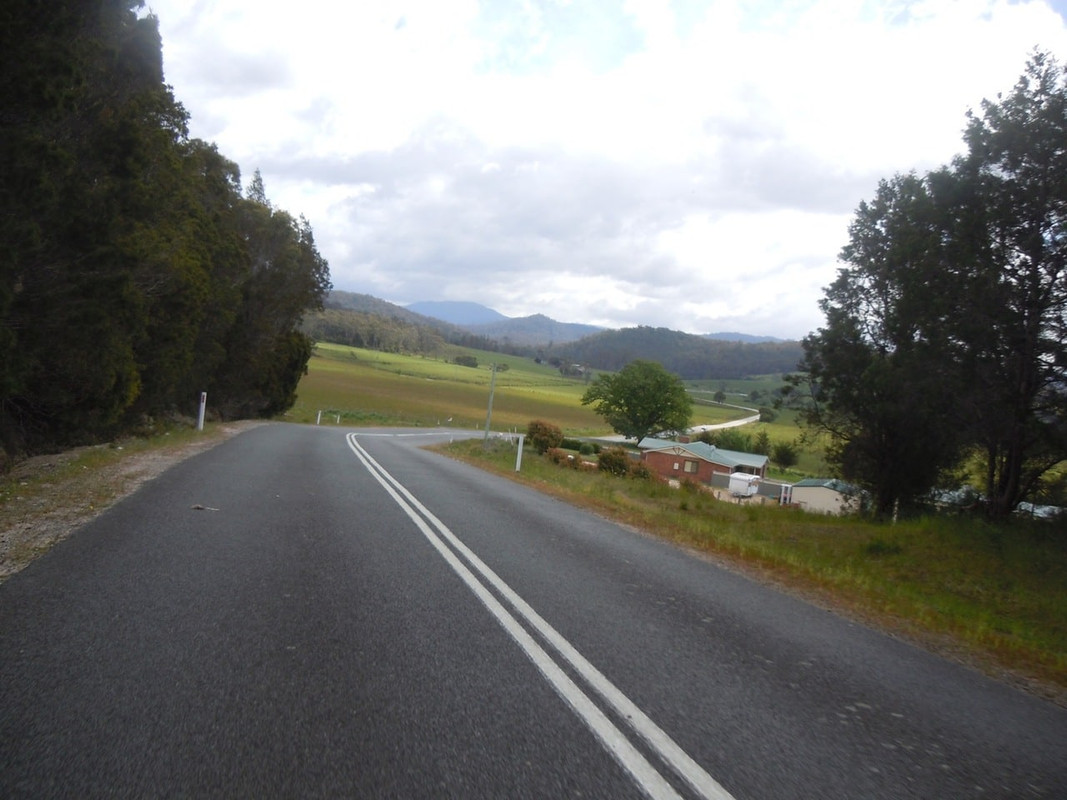
Pretty cottage at Lizdillon south of Swansea
South of Swansea
As for this place, the photos can tell the story.
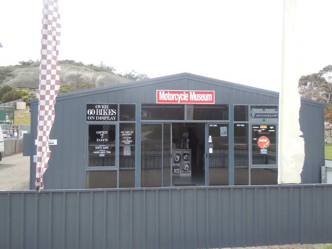
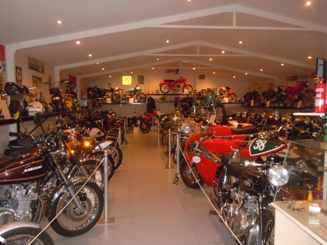
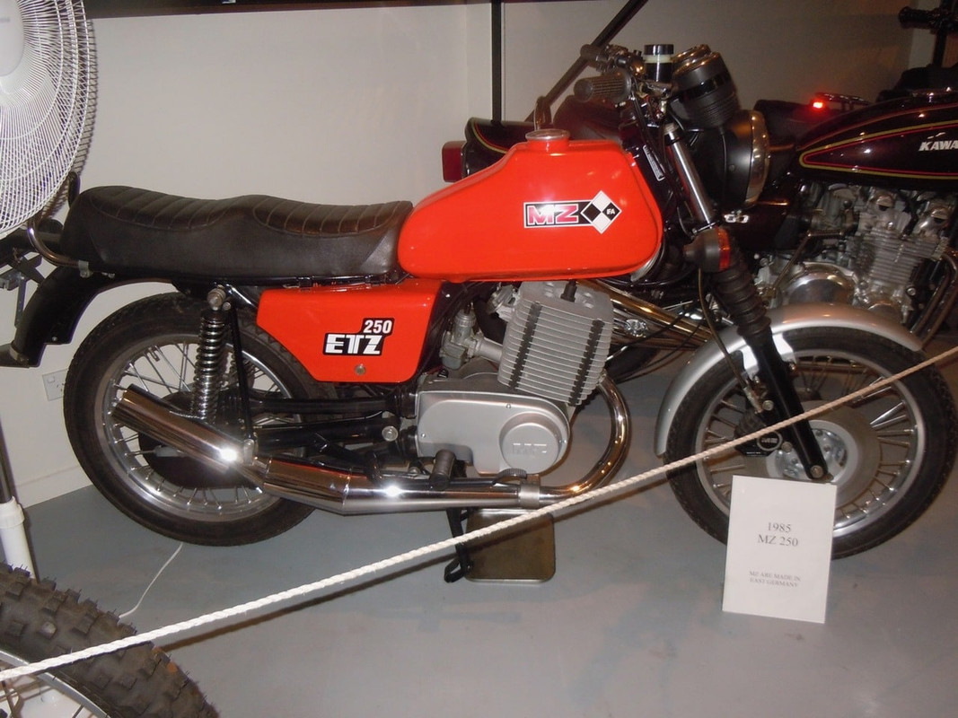
Such an unassuming wee shed it was too.
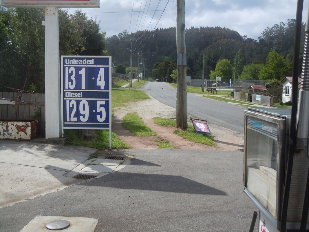
Back on the bike, I refuelled and continued my journey north to Elephant Pass a winding stretch of road that strikes dread into the hearts of Tasmanian motorists and joy to those motorcyclists with an abhorrence of straight roads. One does, however, have to be on the lookout for caravans and log trucks.
Up the pass I went and, having enjoyed myself all the way, arrived in St Marys looking forward to the ride down St Mary’s Pass.
Elephant Pass
St Marys Pass was closed for repairs and while, when I was young, that would have derailed my plan as it was pretty much the only way to St Helens from the south, there has for many years been a road along the coast.
So, not altogether unhappily, I retraced my steps down the hill and turned north at the bottom.
The old Scamander Bridge
Other than stopping for a quick photo in Scamander, I kept going until I reached St Helens where I stopped for a quick lunch.
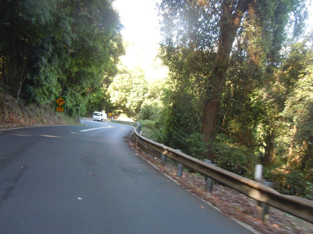
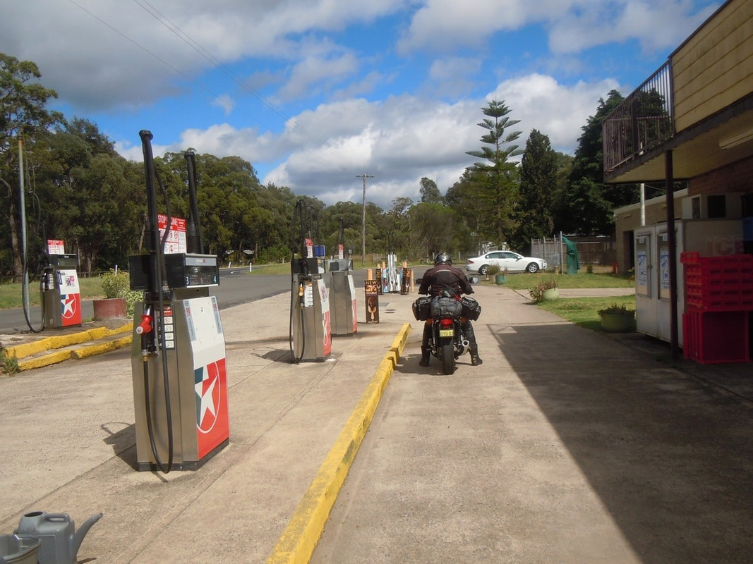
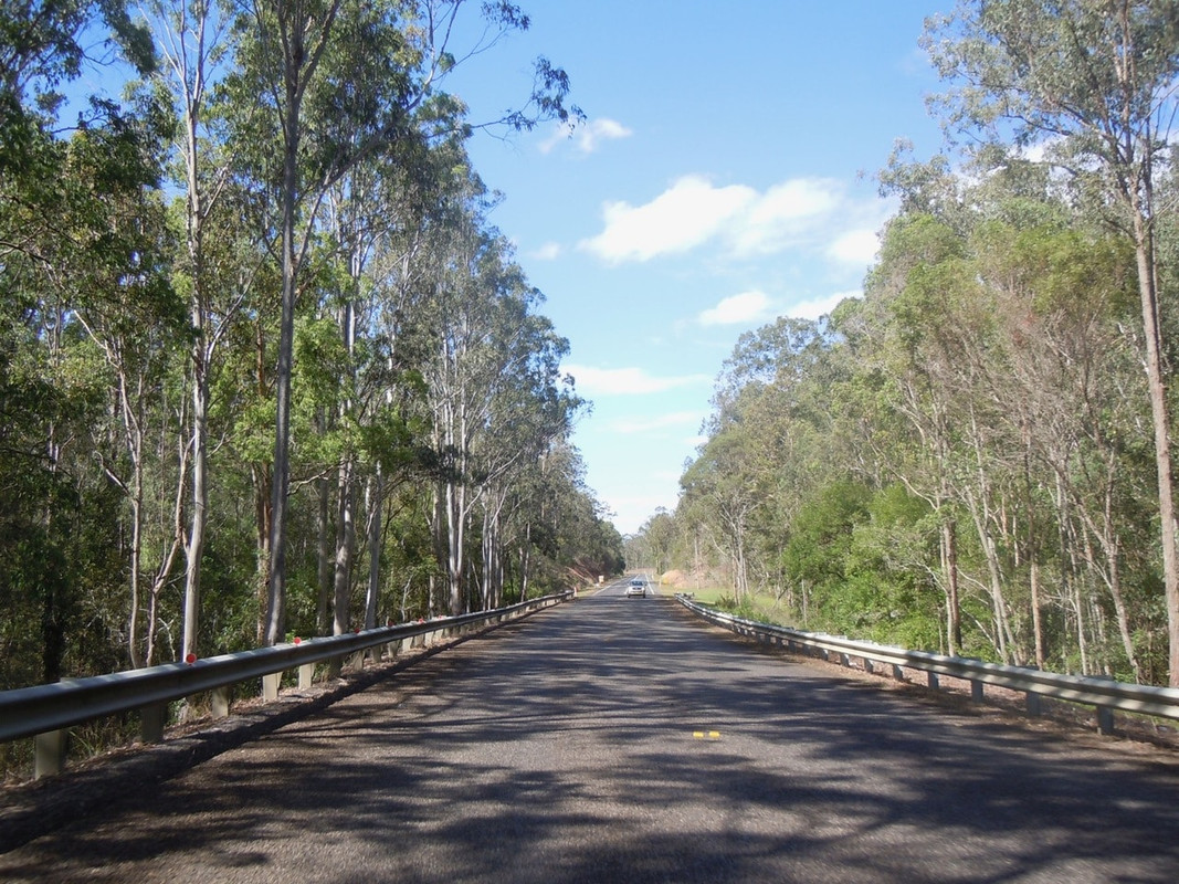
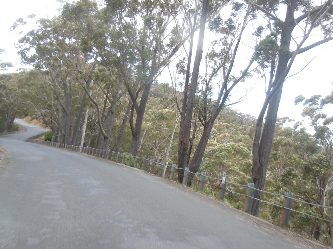
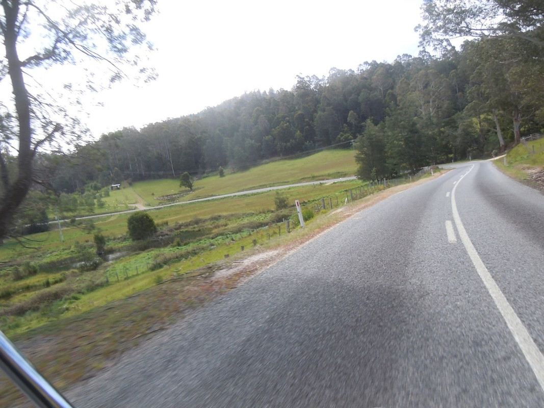
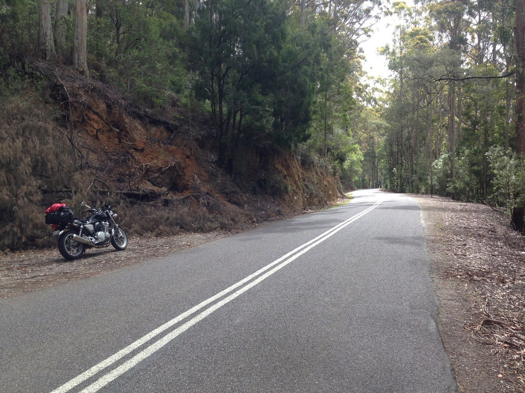
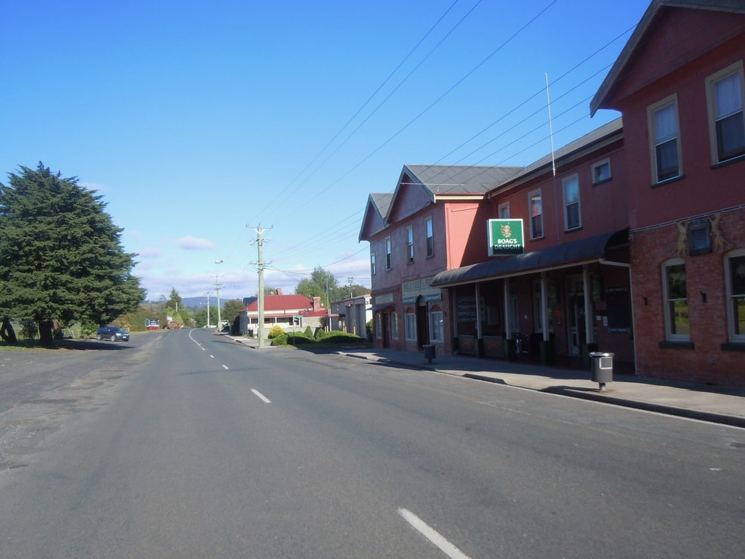
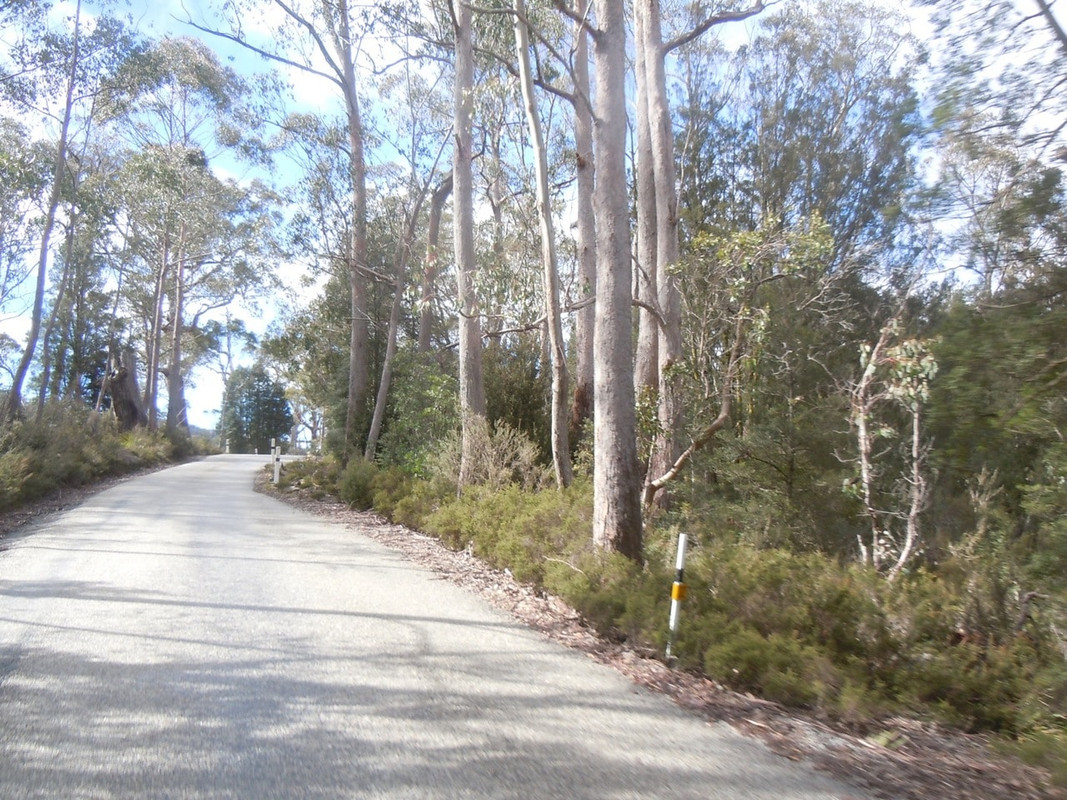
It’s been many a year since I’ve driven from St Helens to Scottsdale, and I’ve never done it on a bike, but I have memories of it being the sort of road a biker would enjoy. It winds its way up hills and through lush Tasmanian forest and farmland through Derby to Scottsdale. I refuelled at a tiny service station in Derby.
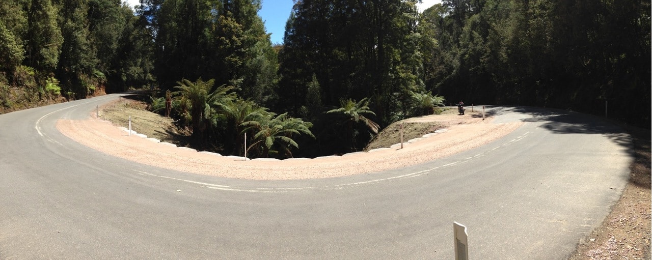
Between St Helens and Scottsdale. For no reason I can recall, I decided to play with the panorama function of my phone camera on this corner. What a brilliant piece of software trickery that is!
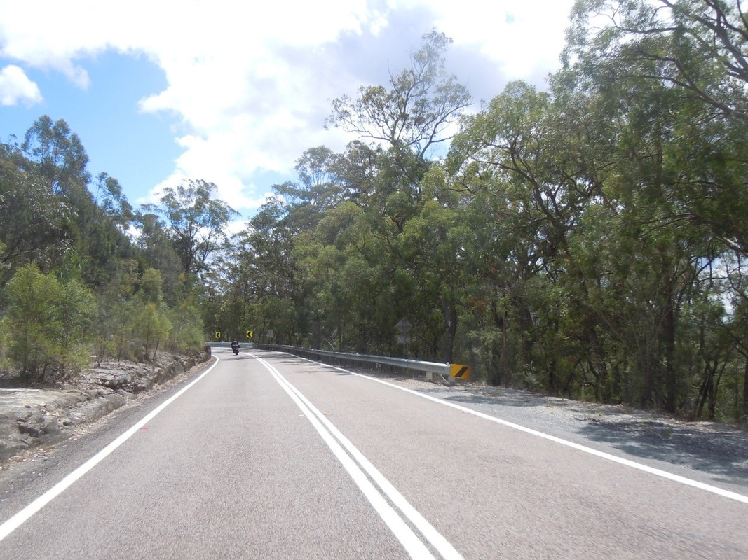
From Scottsdale, the road to Launceston—Tasmania’s second largest city—takes one through the Sidling, also known as being treacherous to motorists. Like the Elephant Pass, it’s a great deal of fun for a bloke out for a ride on a CB1100.
A lookout on the Sidling. I’m looking towards the north east
Once through the Sidling, it’s a pleasant run to Launceston through a relatively quiet and good-quality road. On Day 23, Mrs Cormanus and I rode to the top of Mt Wellington in Hobart and could see all the way to Ben Lomond near Launceston. On this day, I rode behind the range containing Ben Lomond. My camera battery ran out at Derby so there are not many photos as I didn’t want to stop to take them with my phone.
I had thought to stay in Launceston for the evening, but it was a pleasant enough afternoon and, being so far south, the twilights are long, so I decided to press on to Deloraine to put me nearer where I wanted to go in the morning. Anyway, it’s prettier than Launceston and it would be easier to find the sort of accommodation I wanted.
For one of the few times while I was in Tasmania, I took to the main highway and rode quickly to Deloraine where I settled for the night at the very comfortable Empire Hotel.
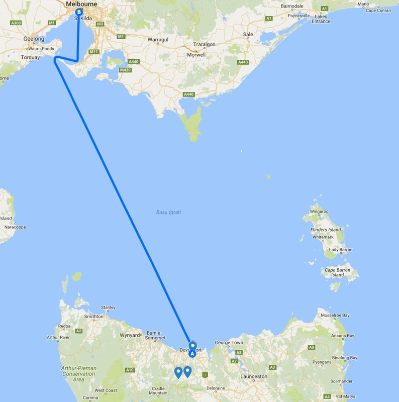
Day 29: Deloraine to Devonport
9 November 2016
Click on the image for a detailed map
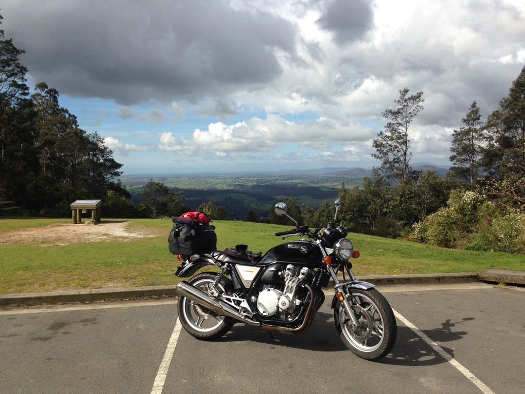
Ever since my parents first took me to Cradle Mountain in 1964 or 1965, it has held a strange fascination for me, even though I have seldom been back. I wanted to go there on the CB for three reasons: one because I could; secondly, because there’s some wonderful riding to be had on the way in and out; and finally because it would allow me to ride one of the routes I’d hoped to had I been able to get to the west coast. The only possible downside was the weather: Cradle Mountain is often hidden by low cloud.
And it was a way to spend the day. Deloraine to Devonport via the highway would take a little over half an hour, and I didn’t have to be there until 1700.
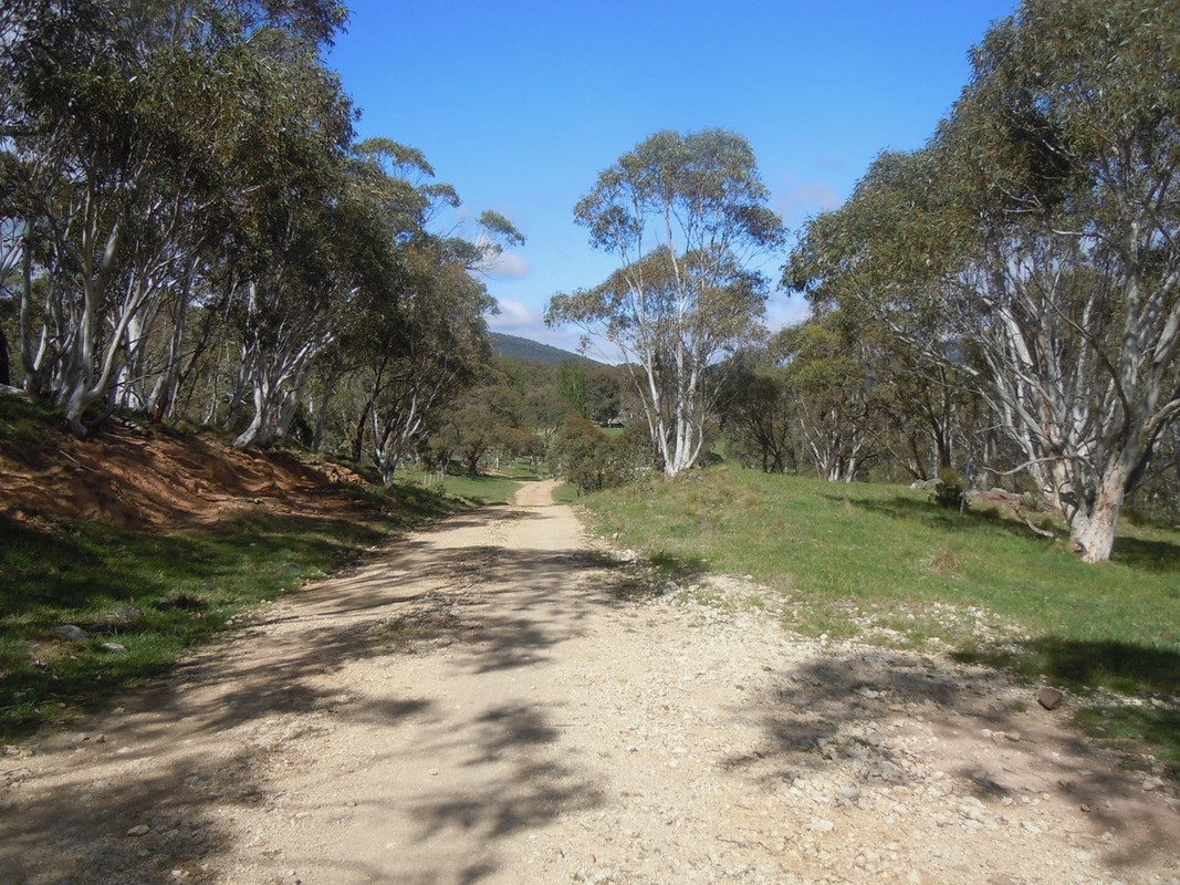
So early on a glorious sunny morning, I rode out of Deloraine headed for Mole Creek where there are caves and an interesting wildlife park—well, it was interesting when I was there 20 years ago!
The view south to the Western Tiers between Deloraine and Mole Creek
A busy morning in the main street of Mole Creek
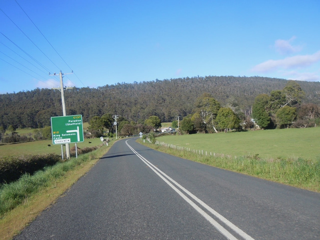
It was an easy and pretty ride to Mole Creek where I refuelled before pushing west towards Cradle Mountain. It’s a lovey ride through farmland, bush and around the base of Mt Roland.
Through the hills to Paradise
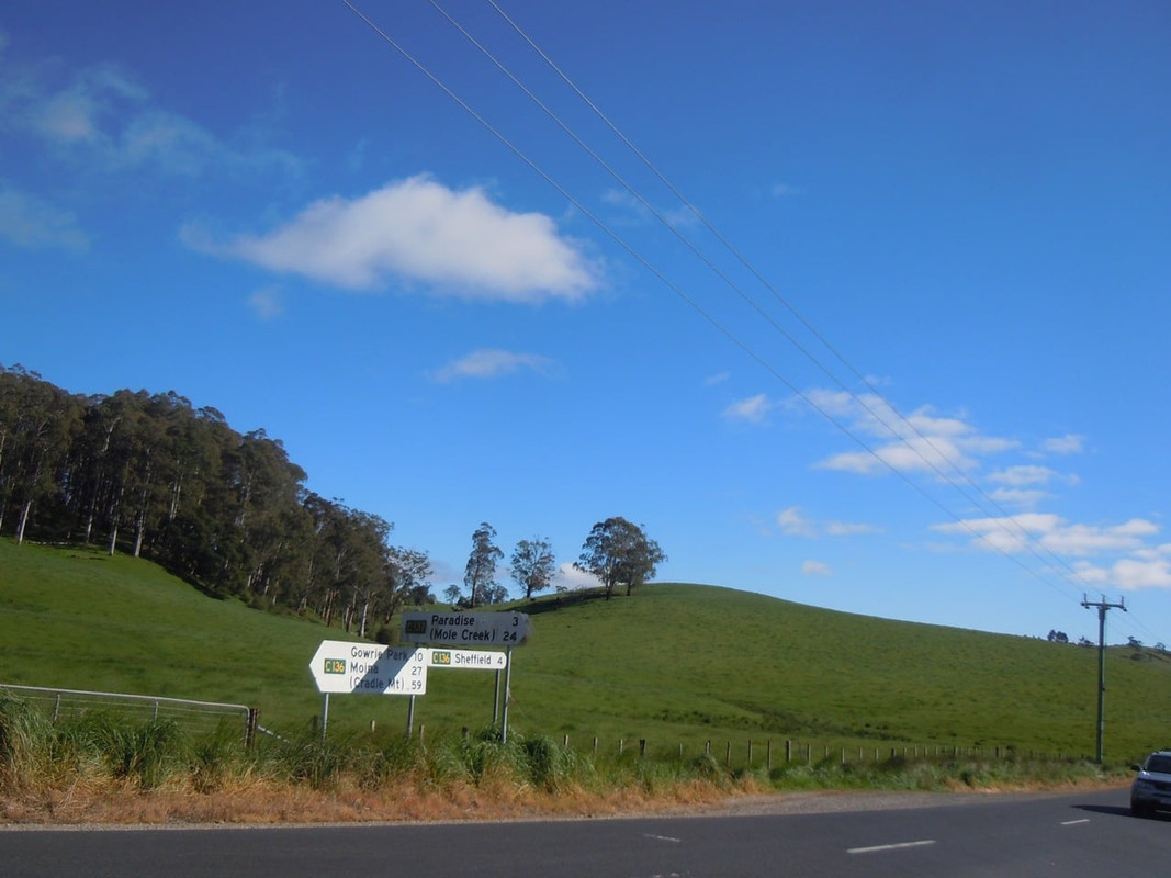
At some moment you reach a sign that tells you Paradise is 5 km down the road. Maybe 5 or 6 km later you reach another sign telling you Paradise is 3 km behind you. There was nothing but farmland. Pretty, I grant, but I think I’d hoped for something a little more.
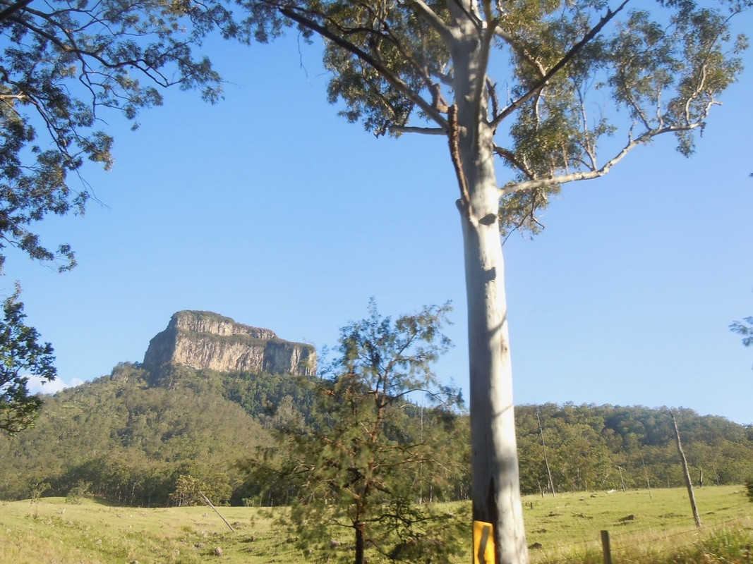
I’m pretty sure Paradise, if indeed it exists, is somewhere around here. That’s Mt Roland in the background.
This is where you discover it’s possible you missed Paradise. My chances of gaining entry are pretty slim, so I didn’t go back to look.
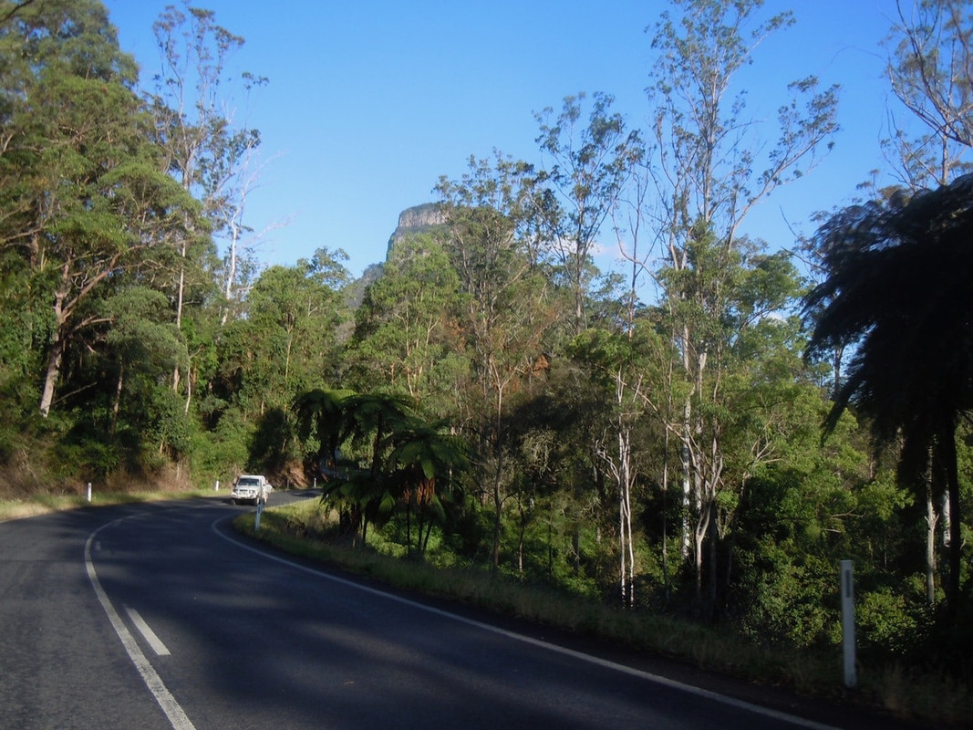
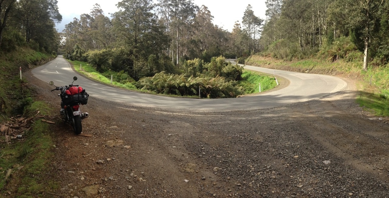
After the sign letting you know you’ve missed Paradise, the road winds its way through a very pretty gorge at Cethana. Climbing up the western side you are on to the Cradle Mountain Road and quite soon into the more lightly vegetated, austere, highland country. The level of cloud cover was increasing and it was cool on the bike.
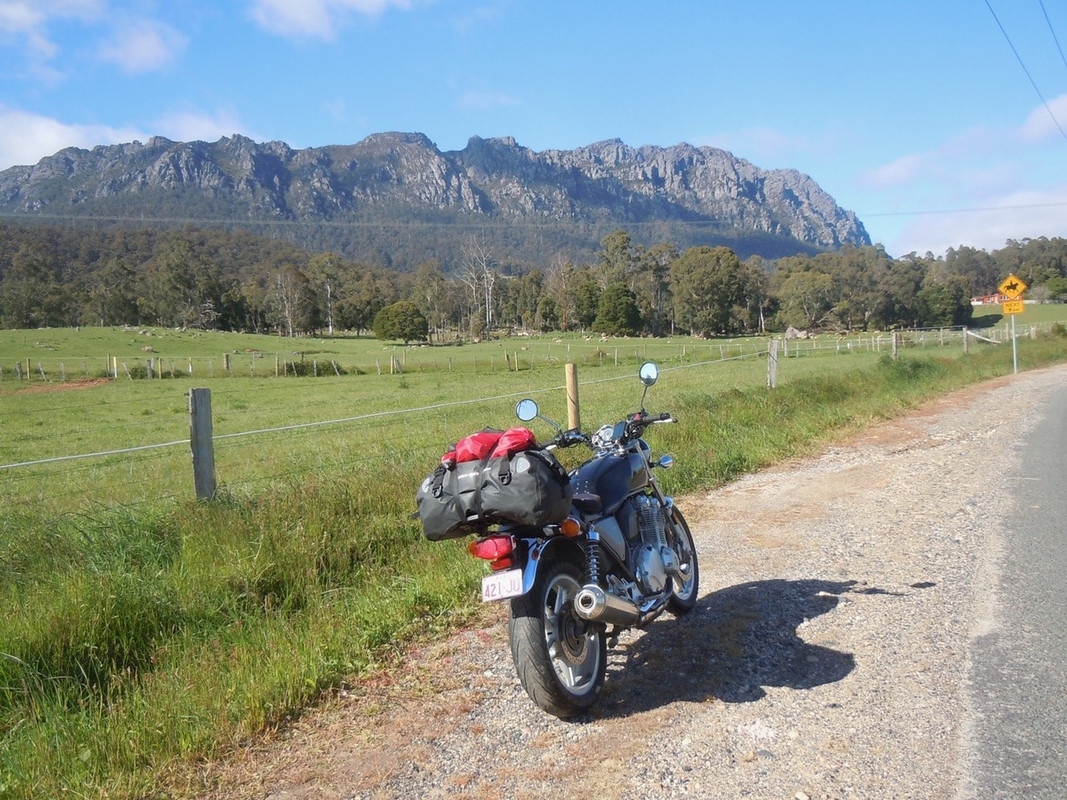
Mt Roland
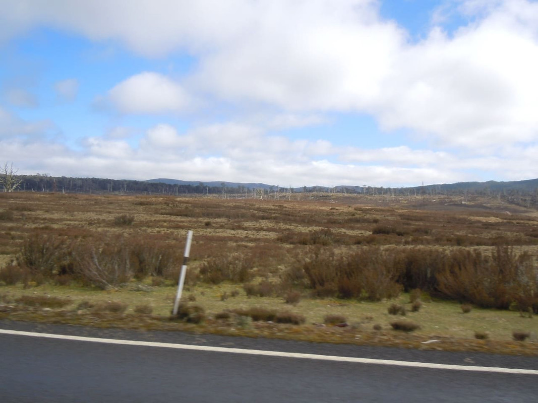
The alpine country in Tasmania, although not at all high by world standards, is different to the lower country
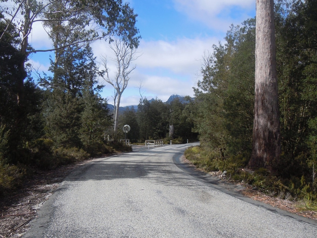
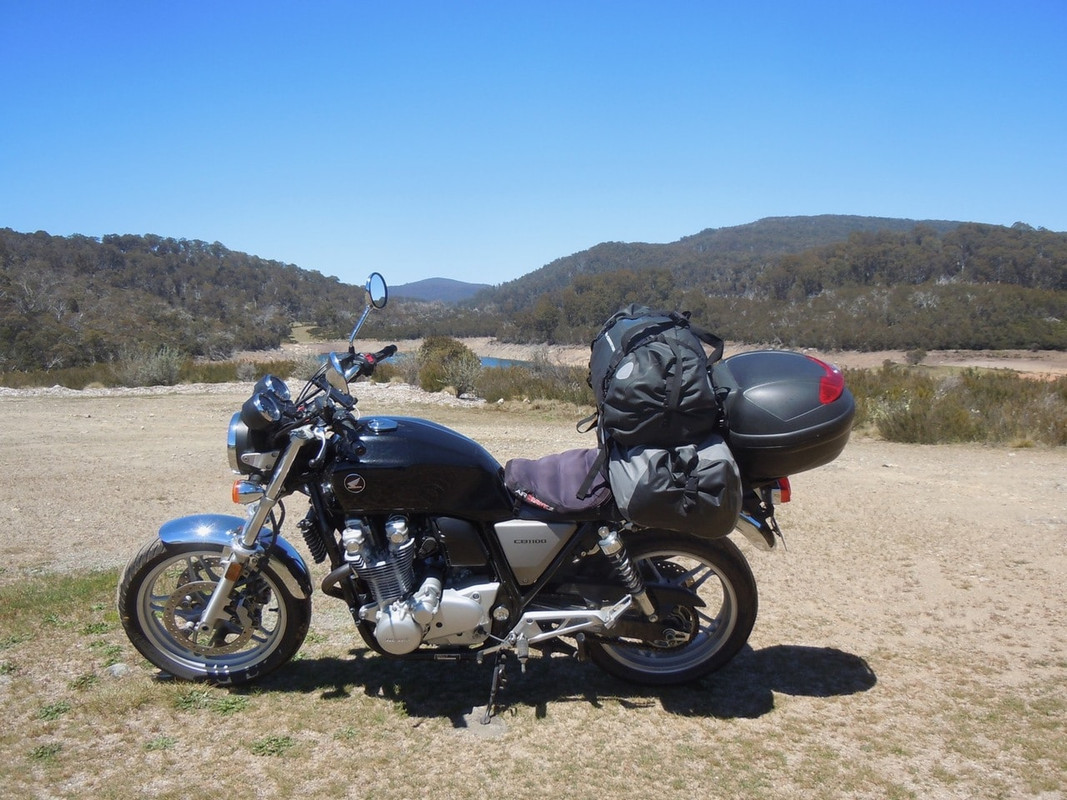
I stopped at the entrance to the National Park for coffee and to pay my entrance fee. Only a limited number of vehicles are allowed in the car park at Dove Lake (where the road ends) and the rangers encourage you to take the shuttle. Bugger that! If it were to be one of the days on which Cradle Mountain was visible, I wanted a photo of the CB in front of it.
So, clutching my ticket, I set off and found the boom gate firmly closed against me. I pulled off to the side of the road near the gate, turned off the engine and waited.
I wasn’t there long before a shuttle bus lumbered down the road toward me triggering the exit boom. Somewhat to my surprise it also triggered the entrance boom and in seconds I’d fired up the bike and shot through to enjoy the ride through pretty alpine bush to Dove Lake.
The road into Cradle Mountain
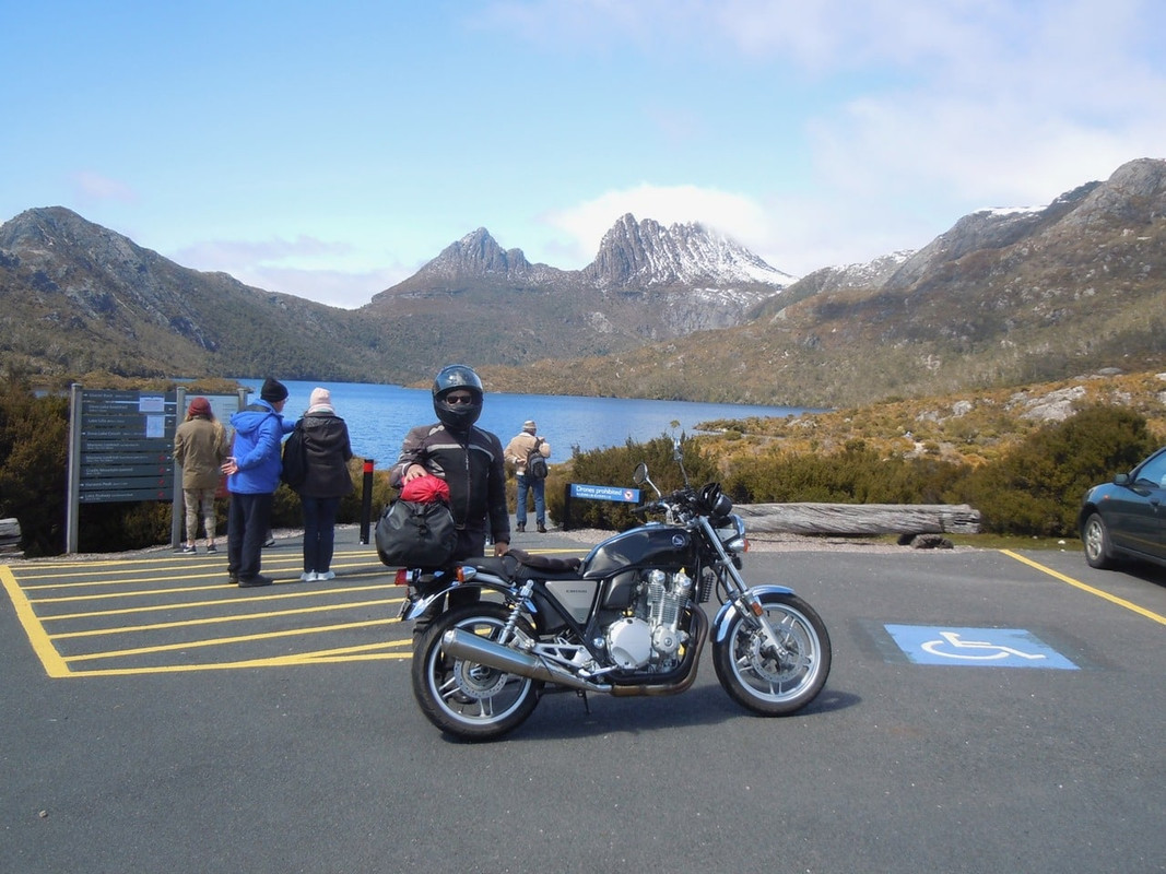
The sun was shining and all of us tourists had a great view of the mountain.
Somehow the photos fail to do it justice. Maybe it’s me, but I find it a grand thing. It’s just under 5,100 ft but only 2,000 ft above the Dove Lake car park. I had a lovely time wandering about in the sun and taking photos.
As I left, there was little traffic, so I parked the CB illegally and leapt off to take a photo of it in front of the mountain. A bus driver strolled over and asked me would I like him to take a photo of me with the bike. I would and he did. And, of course, he’d ridden bikes and maybe even had a Honda 4 back in the day. We had a lovely chat and, with some reluctance I headed off.
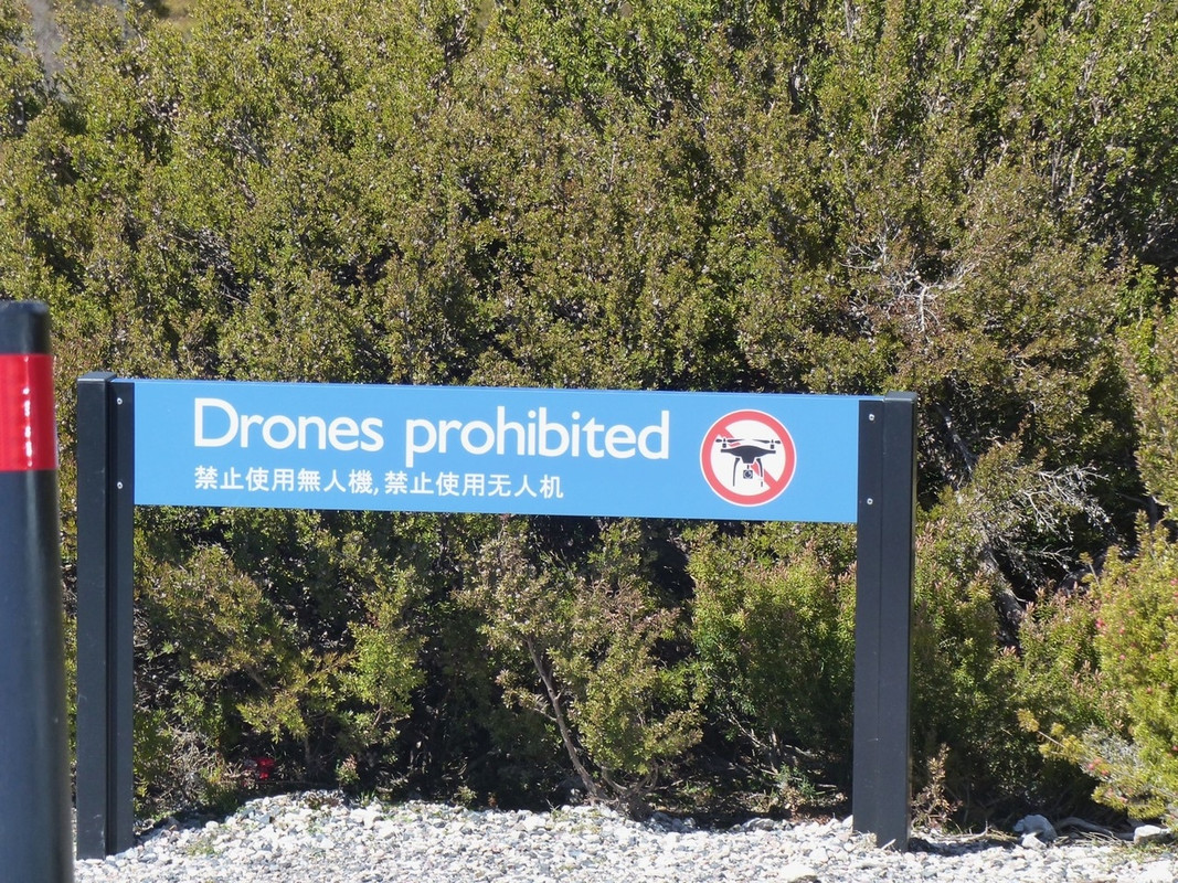
This sign was beside Dove Lake. I suppose the park authorities are worried about them crashing into the lake.
Because I was in no great hurry to leave the National Park, I made my way slowly back, taking in a couple of side roads. I rode past the sign for the start of the Overland Track, described by the Parks and Wildliofe Service as “[url= http://www.parks.tas.gov.au/index.aspx?base=7771 ][i]Australia’s premier alpine walk[/i][/url]”. Although I’ve promised myself I’d make the effort and do it someday, I never have. It’s said to be lovely and you finish to the south beside Lake St Clair.
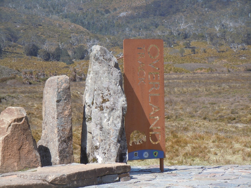
The beginning of the Overland track with Cradle Mountain in the background
There has been discussion about the wombat on this forum. One of Australia’s marsupials, and not overly large it is still not a creature you want to hit on a motorcycle. I’m not sure I can better Pterodactyl’s description of one:
Mate, that is a Wombat. Natures answer to a bulldozer. A dense muscular form that looks like a small thick tree log has grown four stumpy legs and has been fur upholstered. They are approximately one meter in length when fully grown and weigh in at roughly 35 kilos. They also have a think protective shield of cartilage that they turn on attackers that is almost impervious to harm.
I’m reliably told colliding with a wombat is like crashing into a tree stump. A tree stump with a butt shield! In themselves they pose no huge risk, they are vegetarian and nocturnal of habit. They like to graze on the fresh grass shoots by the road. Sometimes they take a fancy to the grass on the other side of the road. They are not easy to see, particularly on a rainy evening or early morning. Hit one and you will become, at least, part of the scenery. [/quote]
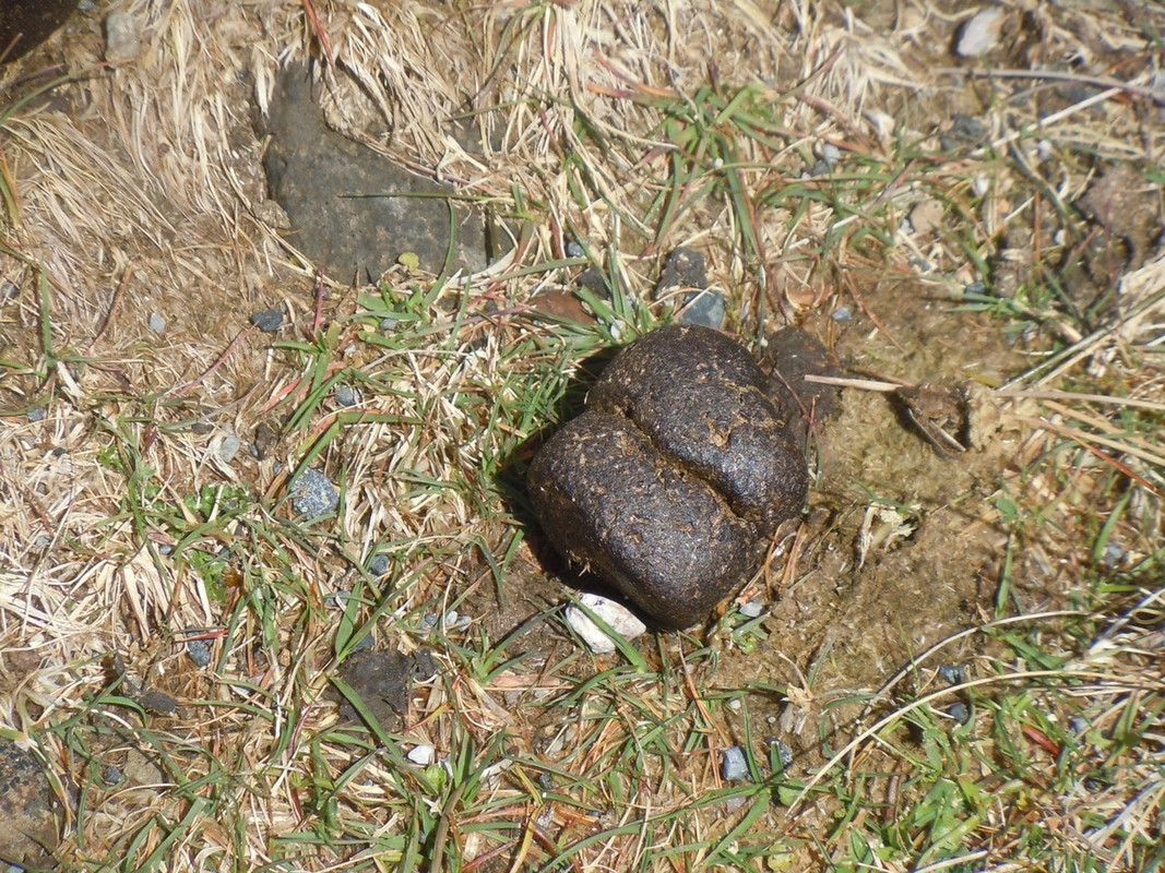
I mention this because one of the other curious things about wombats is the almost cubical nature of their scat. I found a particularly fine example at Cradle Mountain.
I also saw a fine specimen of the animal itself just outside the park boundary, but by the time I could fiddle my camera into life to take a photo of it, the wretched thing had vanished leaving me with an excellent shot of strands of barbed wire.
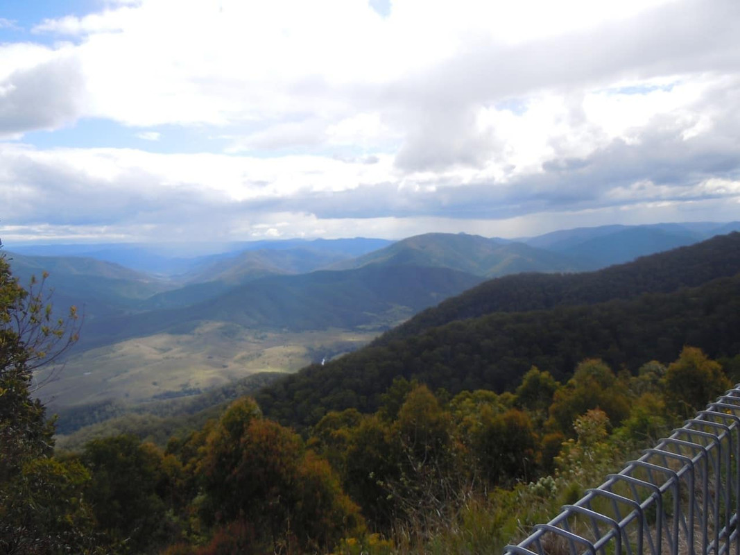
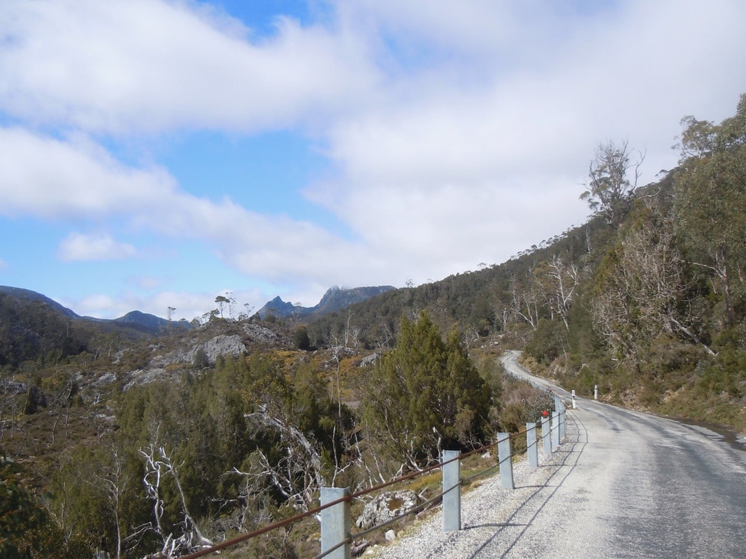
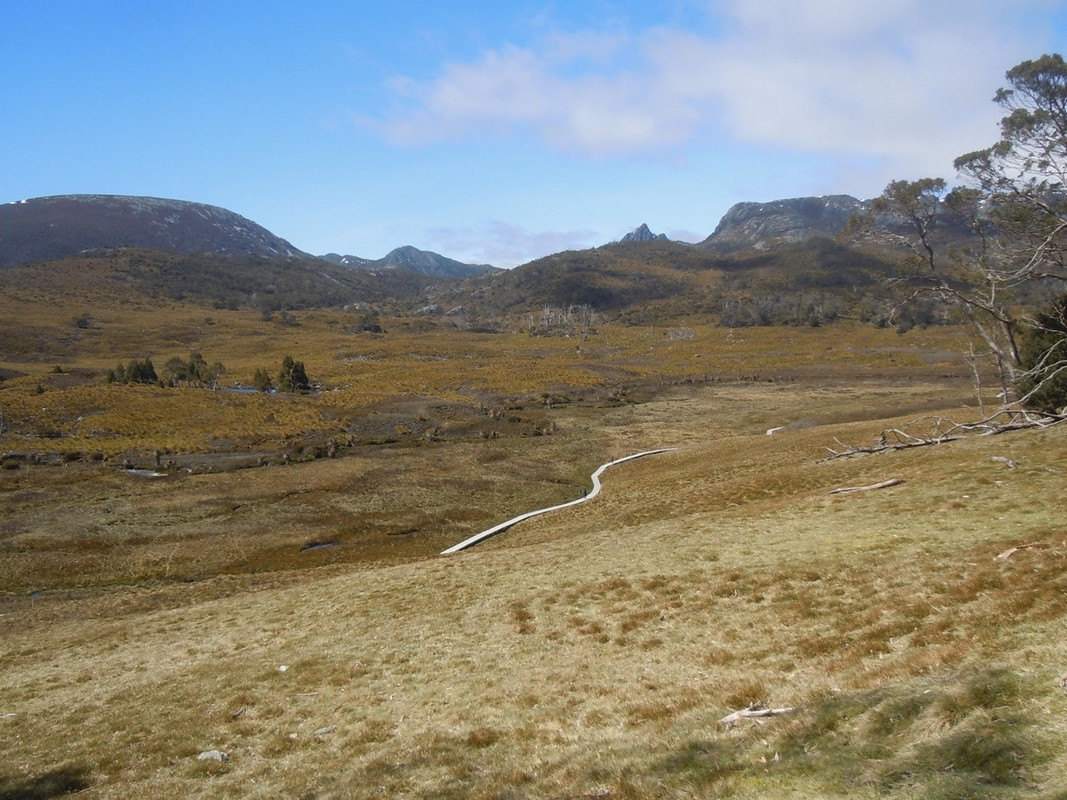
From seeing the wombat, I made my way west through the Vale of Belvoir, from which you get a final view of Cradle Mountain.
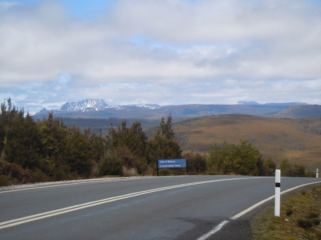
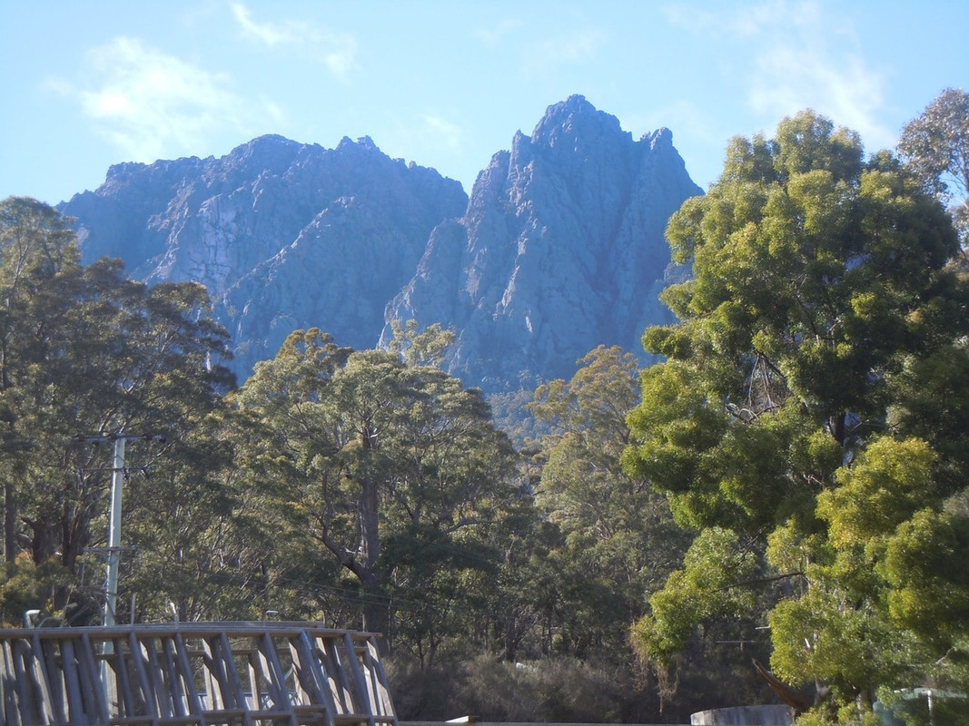
Final view of Cradle Mountain. The cloud covered peak to the right is Barn Bluff
Shortly after this the road descends and you find yourself on the main road linking the west and north west coasts.
The view west from the Cradle Mountain Road
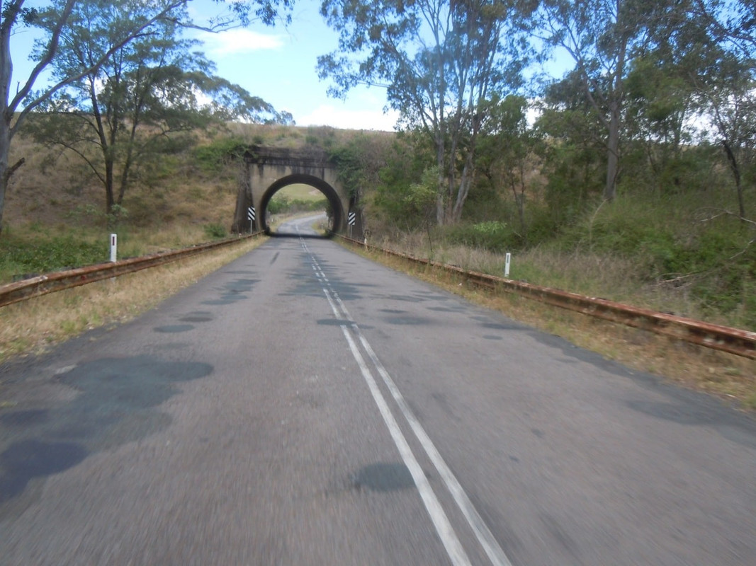
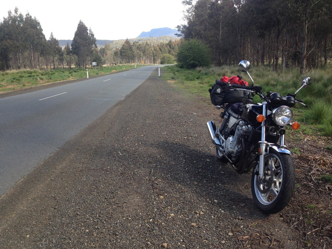
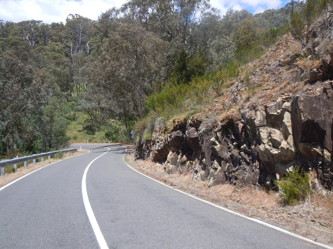
I guess it’s obliging of authorities to build splendid new roads that make life easier for cars and trucks, particularly when they’re kind enough to maintain the older ones. The Cradle Mountain Road is relatively new and makes it much easier to get from the west to the north. When I was a child, the main artery was the A10 which winds through the Hellyer Gorge. On a cold, wet, snowy winter’s night, it’s not much fun. But on a sunny, if cool, day on a CB1100 it’s well worth having a look at.
So at the end of the Cradle Mountain Road, I turned north towards the Hellyer Gorge.
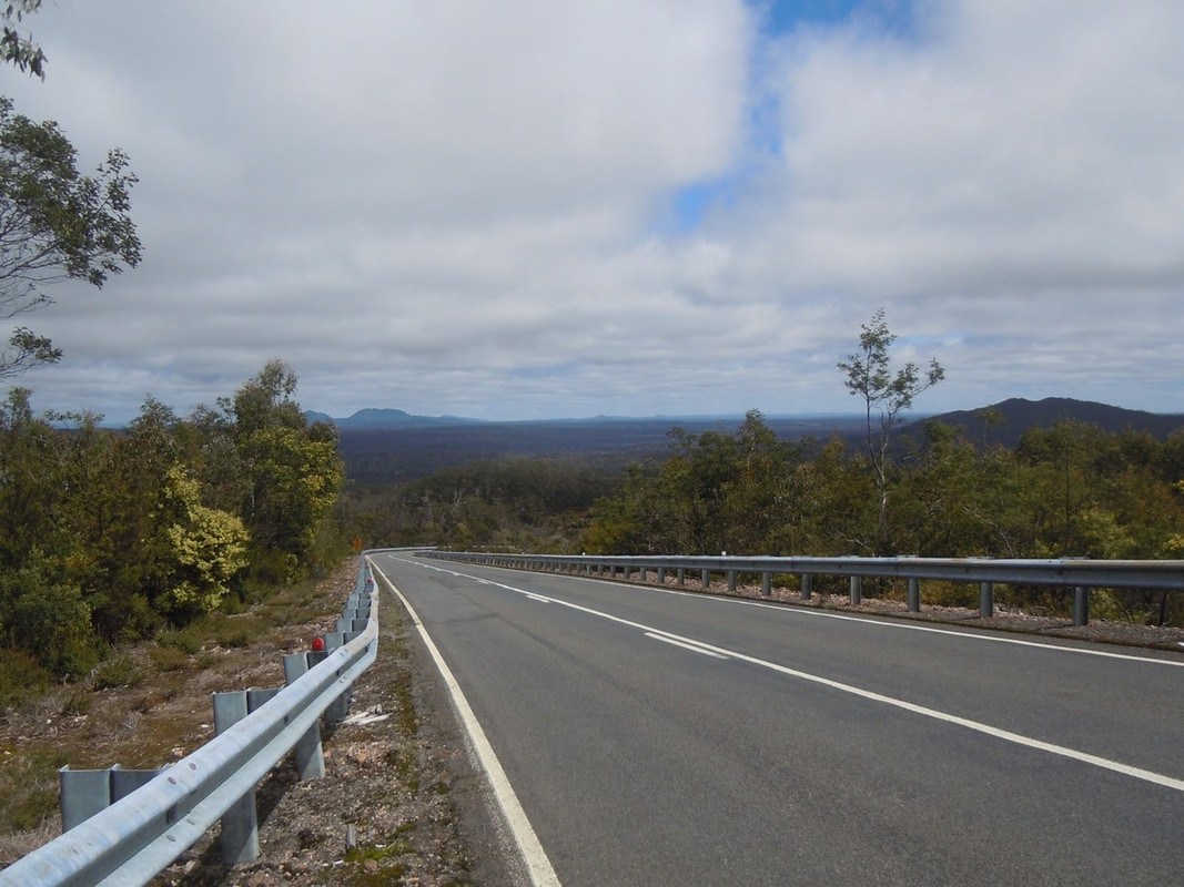
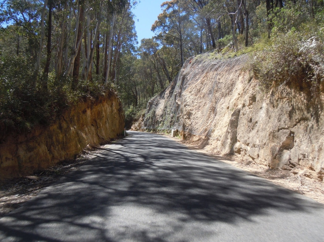
Bushland on the A10
The remains of bushland on the West Coast. It does seem to me a pity that mankind finds it necessary to clear-fell forests
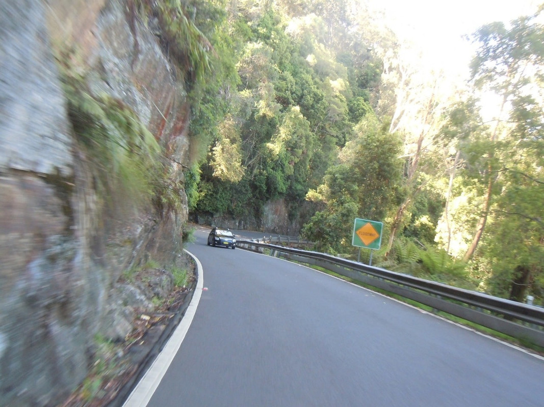
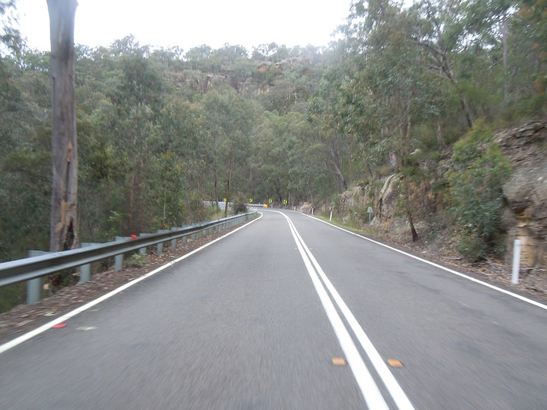
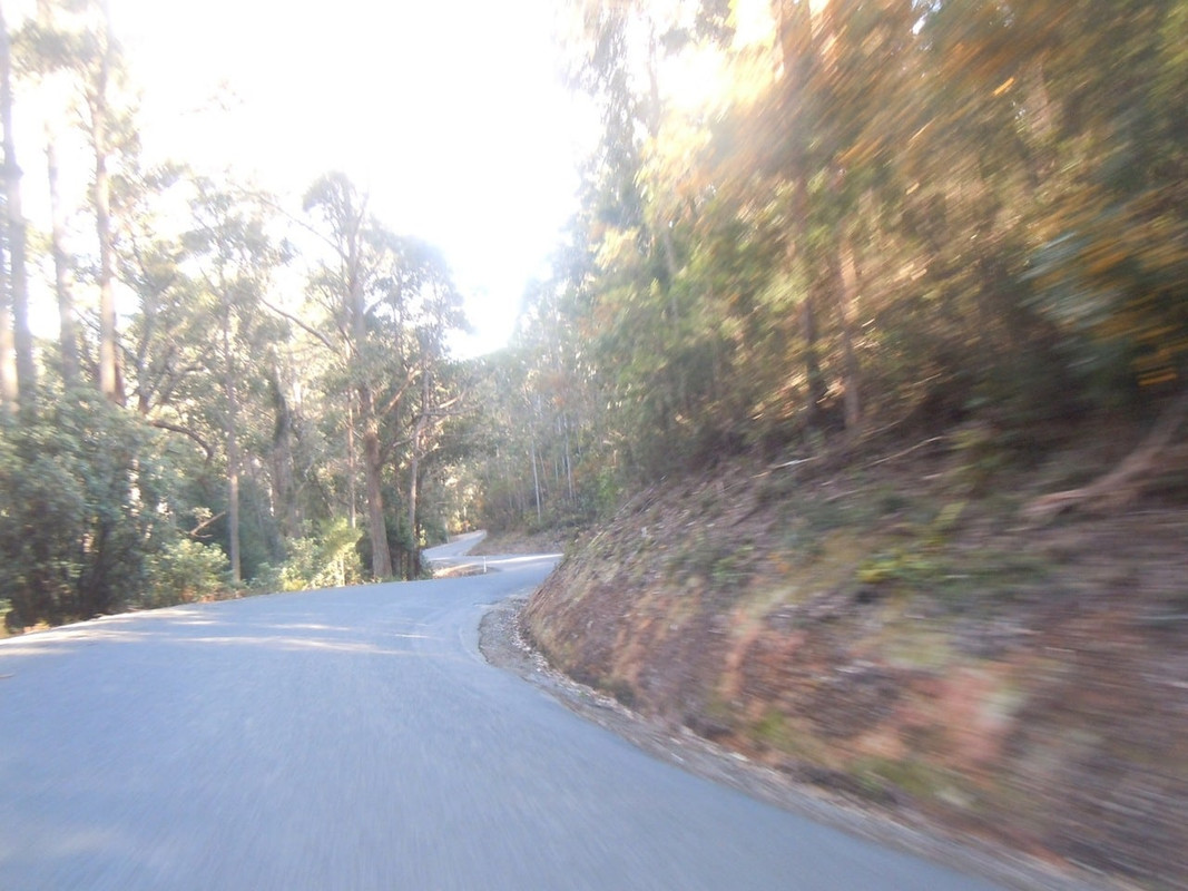
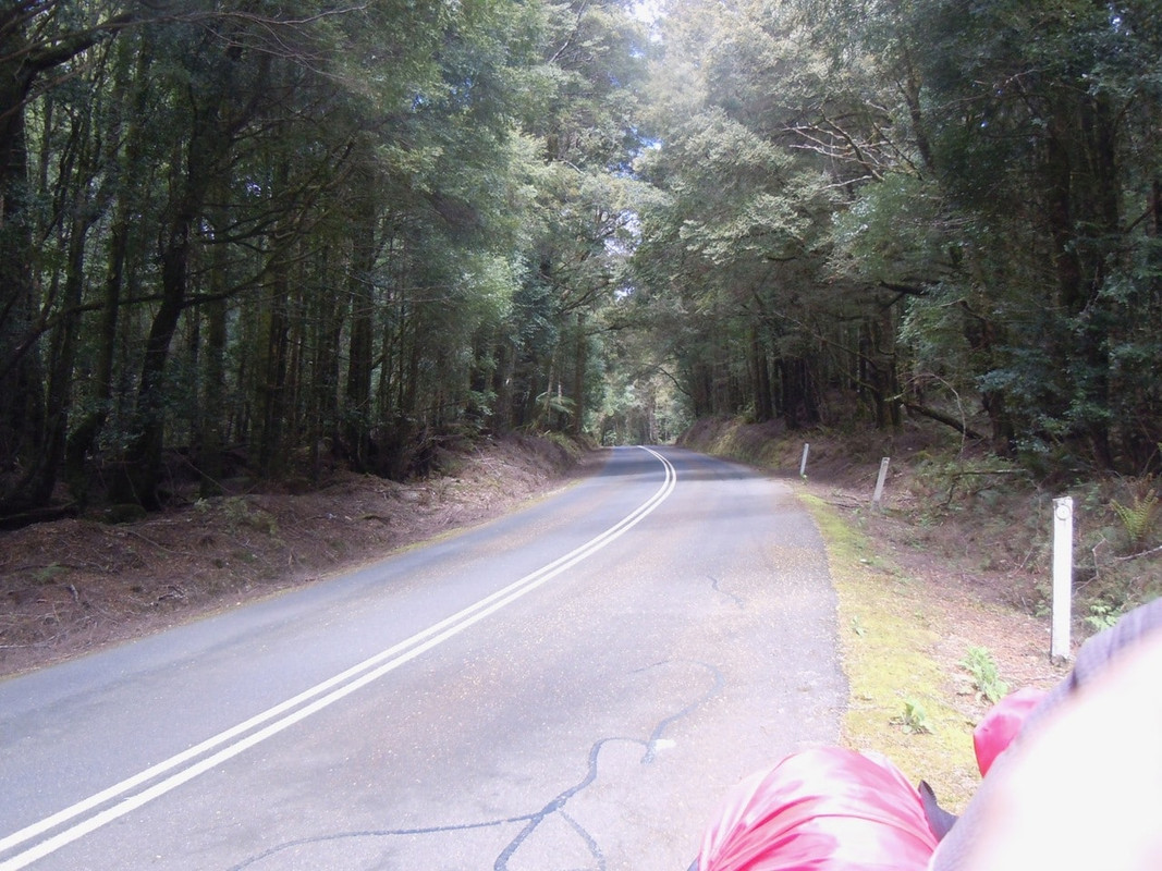
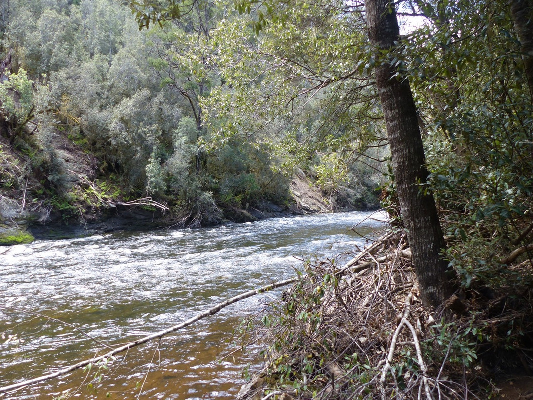
Soon you’re in the winding roads of the Hellyer Gorge.
I stopped at the bottom and had a walk around.
On a camper van at the Hellyer River crossing. Seemed good advice to me.
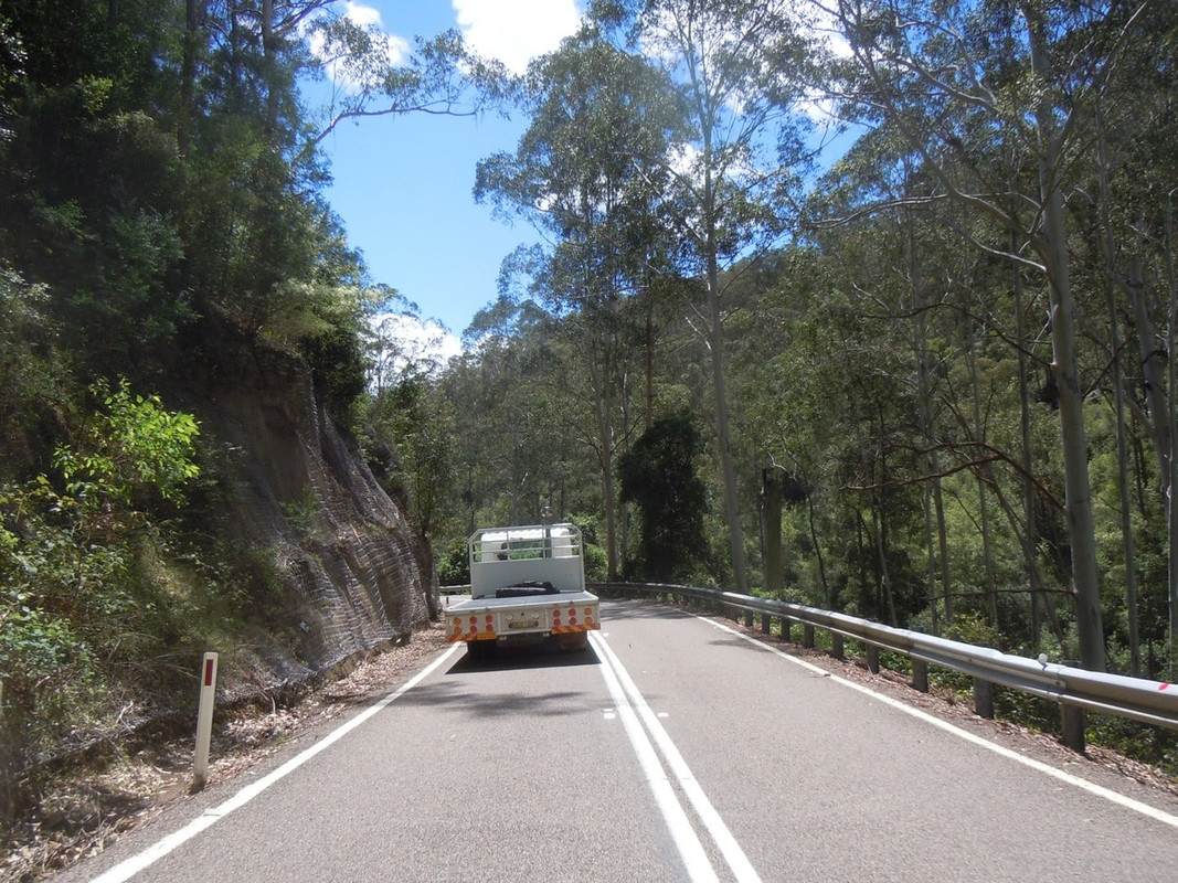
Lanyard cam was all out of batteries by then, so there are very few more photos. I rode north a way and stopped at Yolla for fuel and something to eat. It was only 1230 or thereabouts and I still had four and a half hours before I had to be on the ferry. I ate lunch and rode to the top of the hill in Yolla where I could get a mobile signal and studied the map.
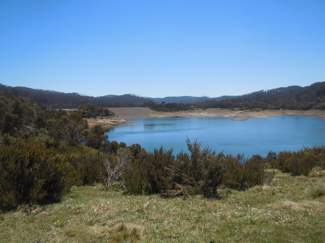
There was nothing for it really, but to head out to the coast, hit the main road and then head back inland in a sort of ‘U’-shape. The bonus was another trip through the gorge at Cethana, with a brief digression to look at the man-made lake.
I also managed to ride down a very winding road to look at Lake Barrington, home of Tasmania’s rowing events, before making my way to Devonport and the ferry.
I had booked a shared cabin as a way of keeping the cost down. By the time I’d got aboard, showered and sorted myself out, we were pretty much under way and I thought I was going to luck out and have the place to myself. When I got back after dinner, I found I had a cabin mate, a very nice bloke with some interest in restoring motorcycles. More interestingly perhaps he lived in Paradise, although he was not all that keen to be precise about where it is!
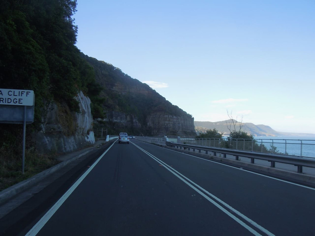
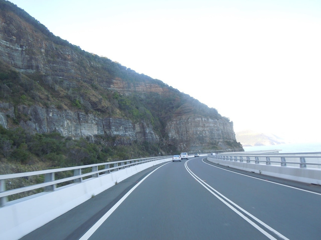
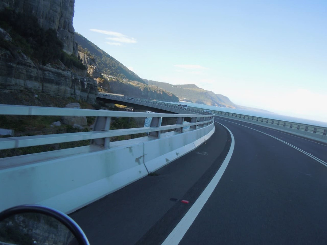
Day 30: Melbourne to Mt Beauty
10 November 2016
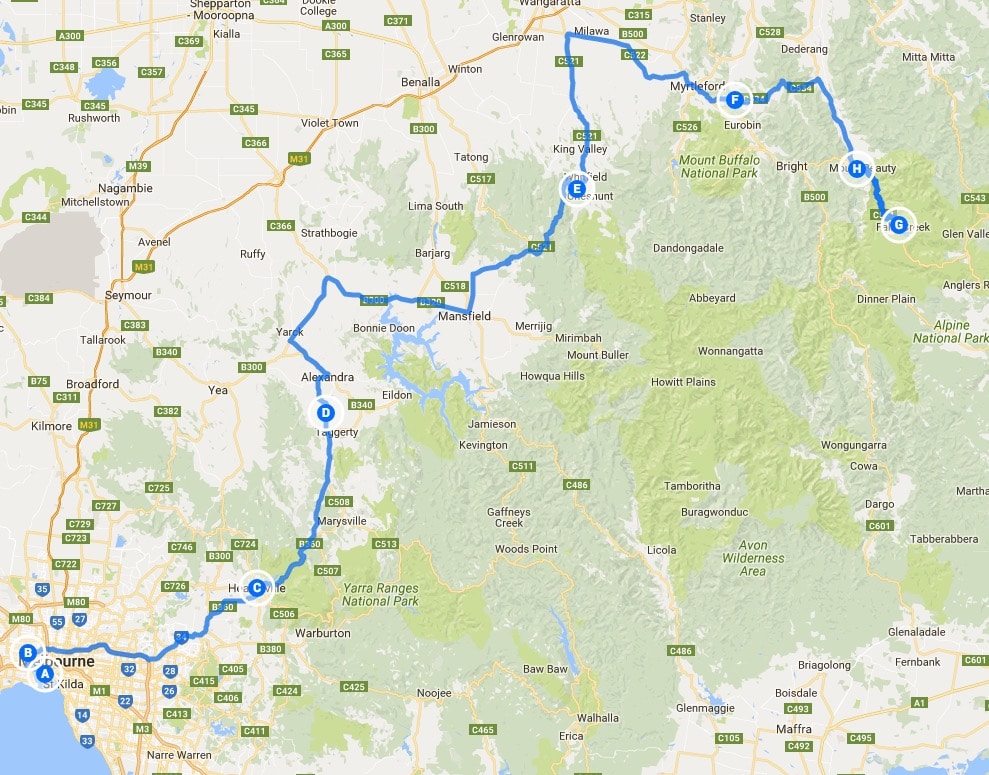
Click on the image for a detailed map
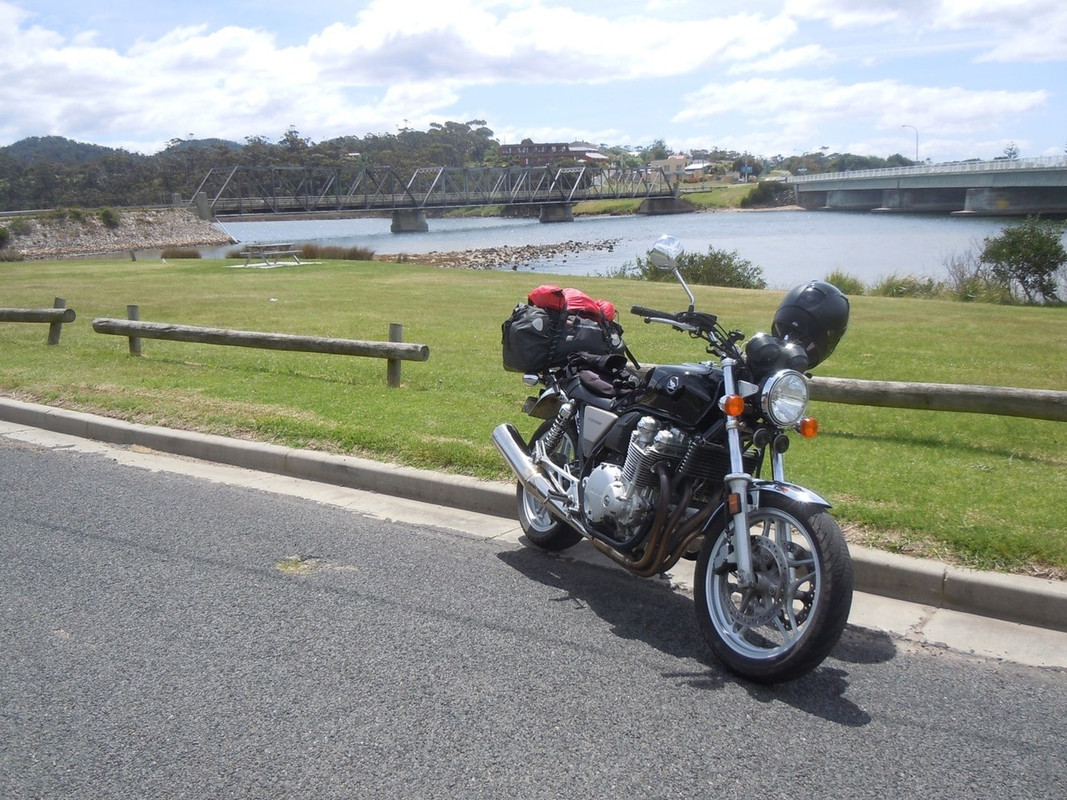
The ship arrived at its usual ungodly hour and I was quickly below to get on the bike and ashore. There were no dramas and I was soon at my niece’s house to collect the gear I’d abandoned when Mrs Cormanus joined me. My niece and I had breakfast at a local café; she went off to work; I repacked my gear and went on my way.
Leaving Melbourne, I headed north-east through the suburbs and soon arrived at Healsville. I went there because it was in the direction I wanted to go and because I keep reading references to it on the Australian motorcycle forum I watch.
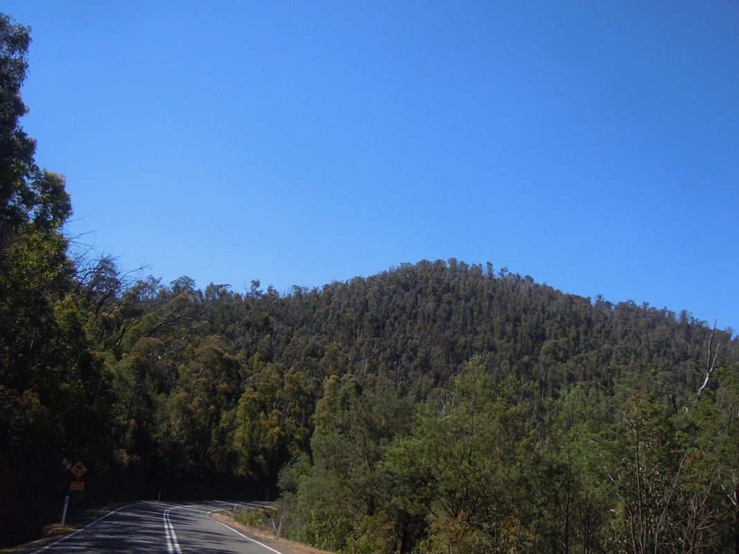
North east from Healsville, there’s a lovely ride through bushland. It was particularly pleasant on a day becoming warmer.
The road north-east from Healsville
The road was pretty enough, but not inspirational, but, hey, you can’t always have that when you’re touring, can you? Indeed, touring is often enduring the roads that get you to the corners you want to turn.
The route took me past a place called Bonnie Doon, famous for a scene in the quirky Australian comedy The Castle.
The road north of Bonnie Doon
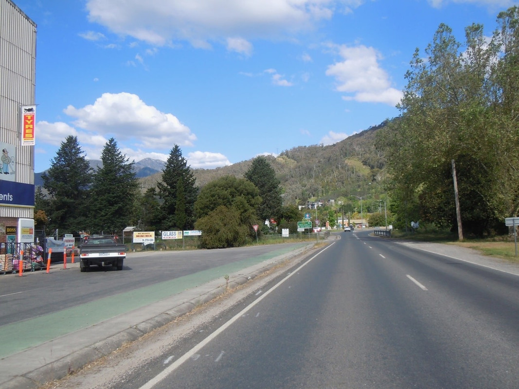
I stopped for an unmemorable lunch at a place called Whitfield. I didn’t think there was too much to see, really: a café, a signpost and a pub. However, after lunch I rode on and found a slightly more substantial town.
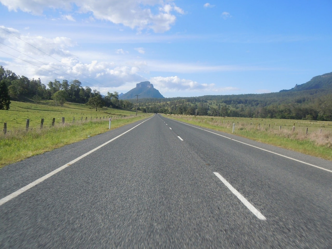
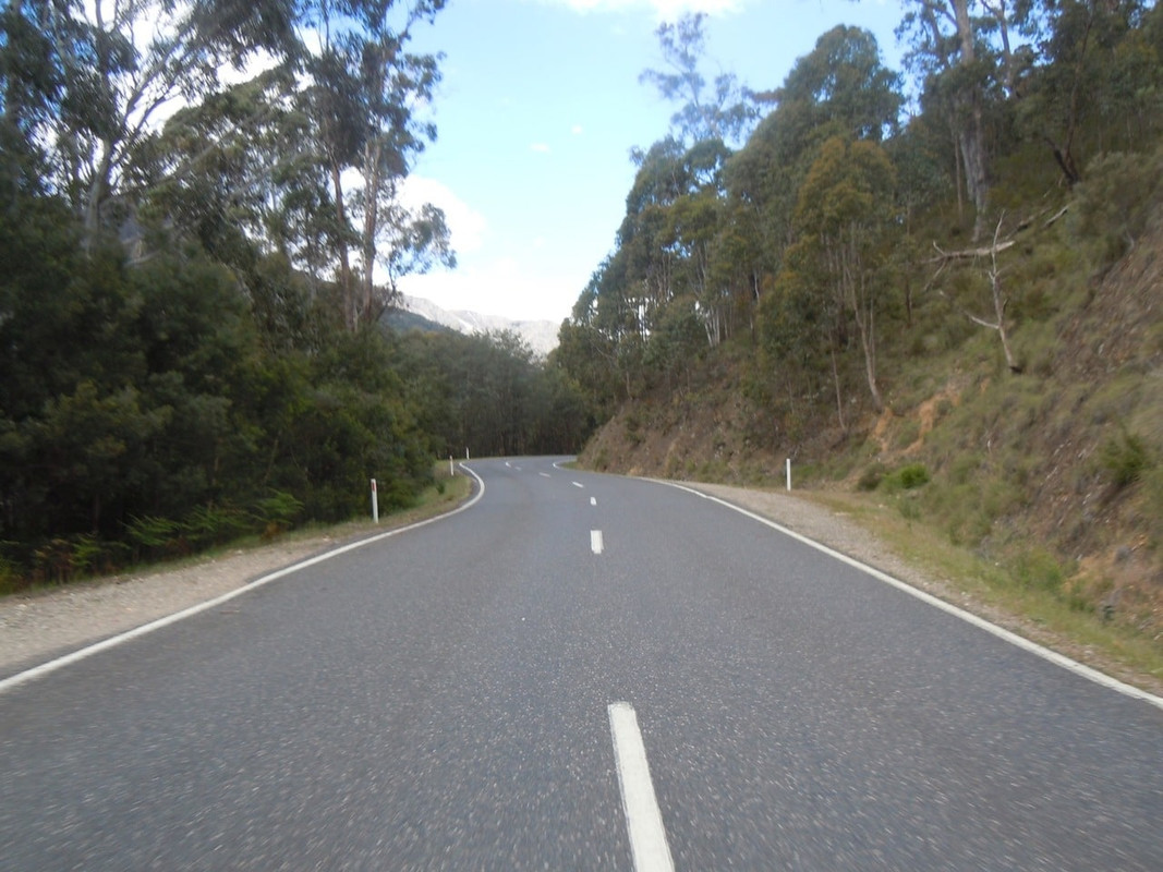
In so far as I had a plan it was to ride to Bright and then maybe over the Bogong High Plains Road to spend the night at Anglers Rest on the Omeo Highway. So I pushed on northwards to Oxley where I turned to head slightly south east towards Myrtleford. It really was a glorious day for a ride with clear blue skies and a pleasant temperature. It was an agreeable respite from much of the cold I’d ridden in since leaving Sydney on Day 6.
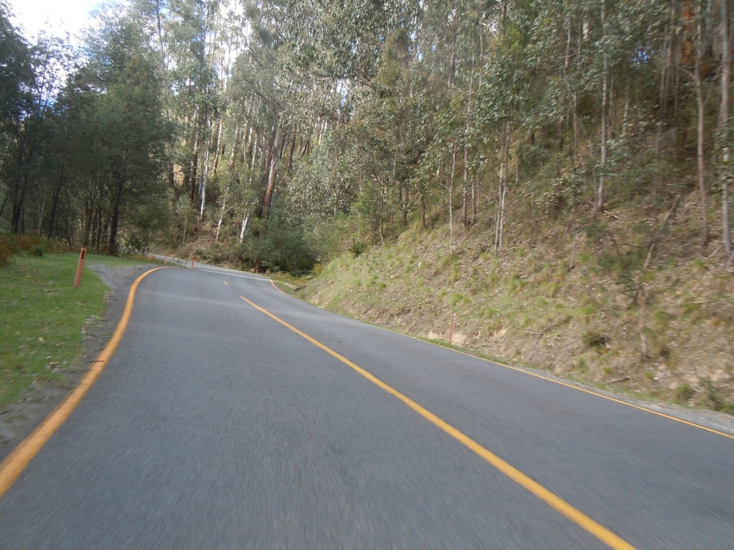
At Myrtleford I realised that the quicker of the alternative routes to Mt Beauty (where the Bogong High Plains Road starts) would not take me to Bright. Just after leaving town, I turned left and had a lovely ride east along Happy Valley Road which turned into Running Creek Road and led to the Kiewa Valley Highway. Looking at the map, I suspect it may be less inspiring than the Tawonga Gap Road. Next time.
Between Myrtleford and Mt Beauty. You can see the road winding into the hills.
Pretty hills and road between Myrtleford and Mt Beauty.
It was around 3 pm when I filled up at Tawonga and set out for Falls Creek, the Bogong High Plains and Anglers Rest and I had a good two hours ride in front of me.
Approaching Mt Beauty. I’m not totally sure of the name of the mountain slightly to the left of centre, but it had patches of snow on it
Falls Creek is a ski resort and there was nothing at all happening there when I arrived. I suspect because there wasn’t really any snow. It was a great ride to get there, around corner after corner of mountain road. The line markings soon changed colour from white to yellow to indicate where the snow line is.
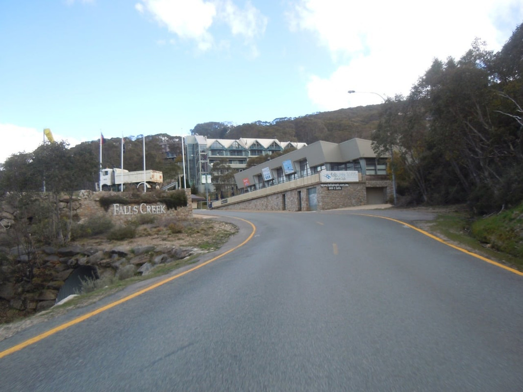
Arriving at Falls Creek
I cruised through Falls Creek and quickly came to a sign telling me that the rest of the road was closed. So I got off in the very chilly alpine air, took a photo, turned around and headed back.
Somewhere down the hill I pulled over to take a photo. A white Subaru station wagon went past me going at a good lick. I pretty much caught him by the bottom of the hill, but he clearly knew the road extremely well and I had to work hard for it.
I felt like I’d earned my glass of beer and dinner at the Settlers Tavern.
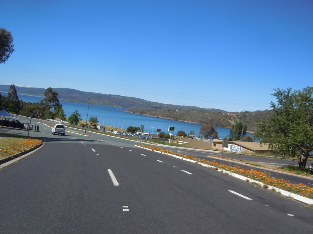
Day 31: Mt Beauty to Jindabyne
11 November 2016
Click on the image for a detailed map
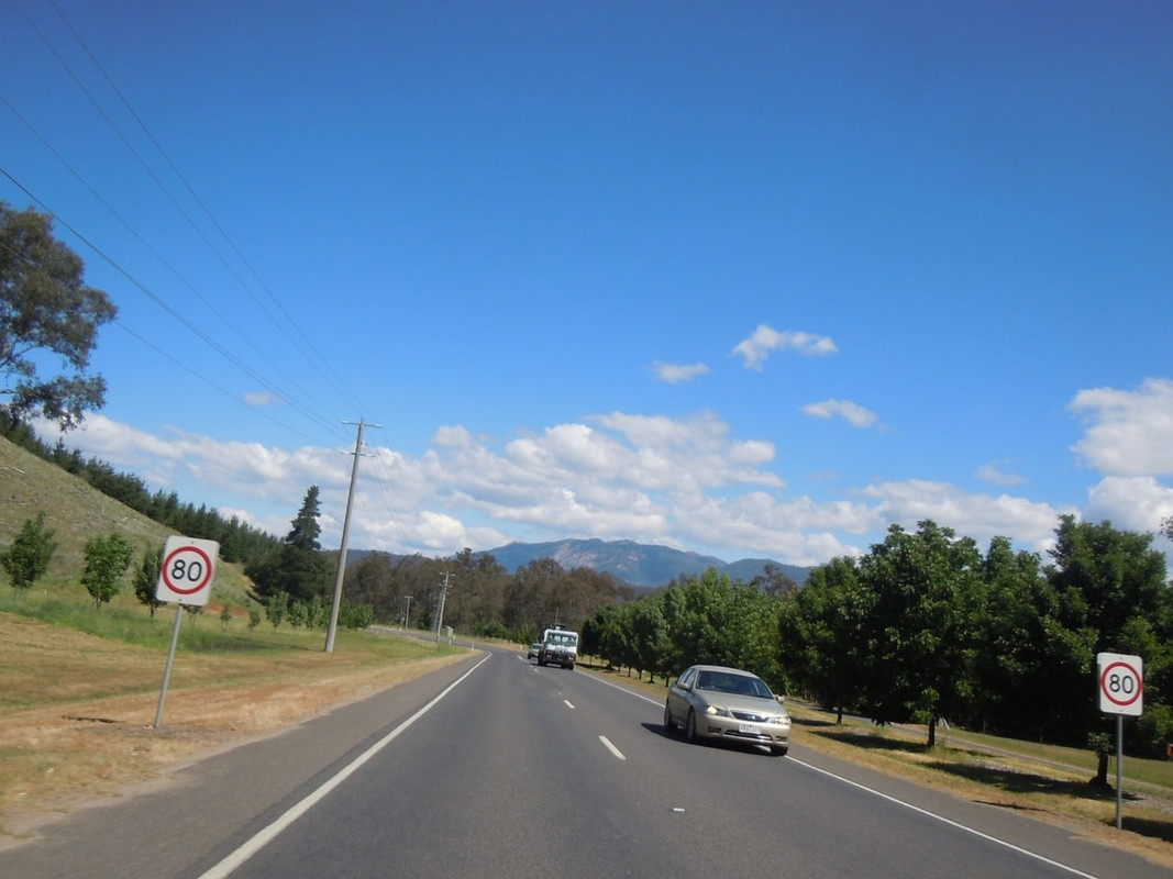
It was a glorious morning in Mt Beauty. I loaded the bike and headed north to the Murray Valley Highway (B400) and then west to Corryong, where I refuelled, and Khancoban, where I went for a look.
Heading north towards the Murray Valley Highway on a glorious morning
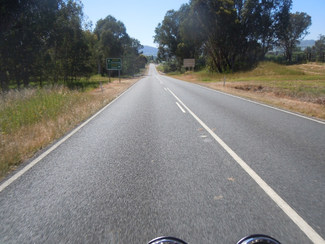
The sign ahead points to the Omeo Valley Highway and so I had completed some sort of a circle since being here on Day 8
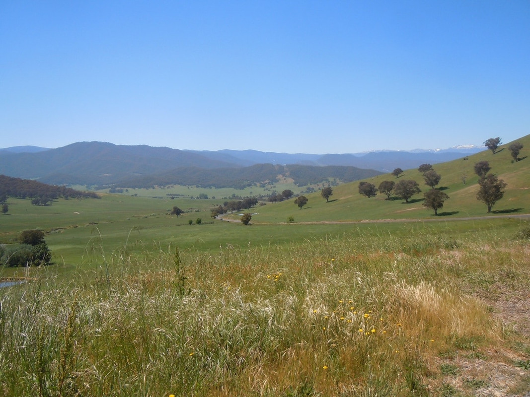
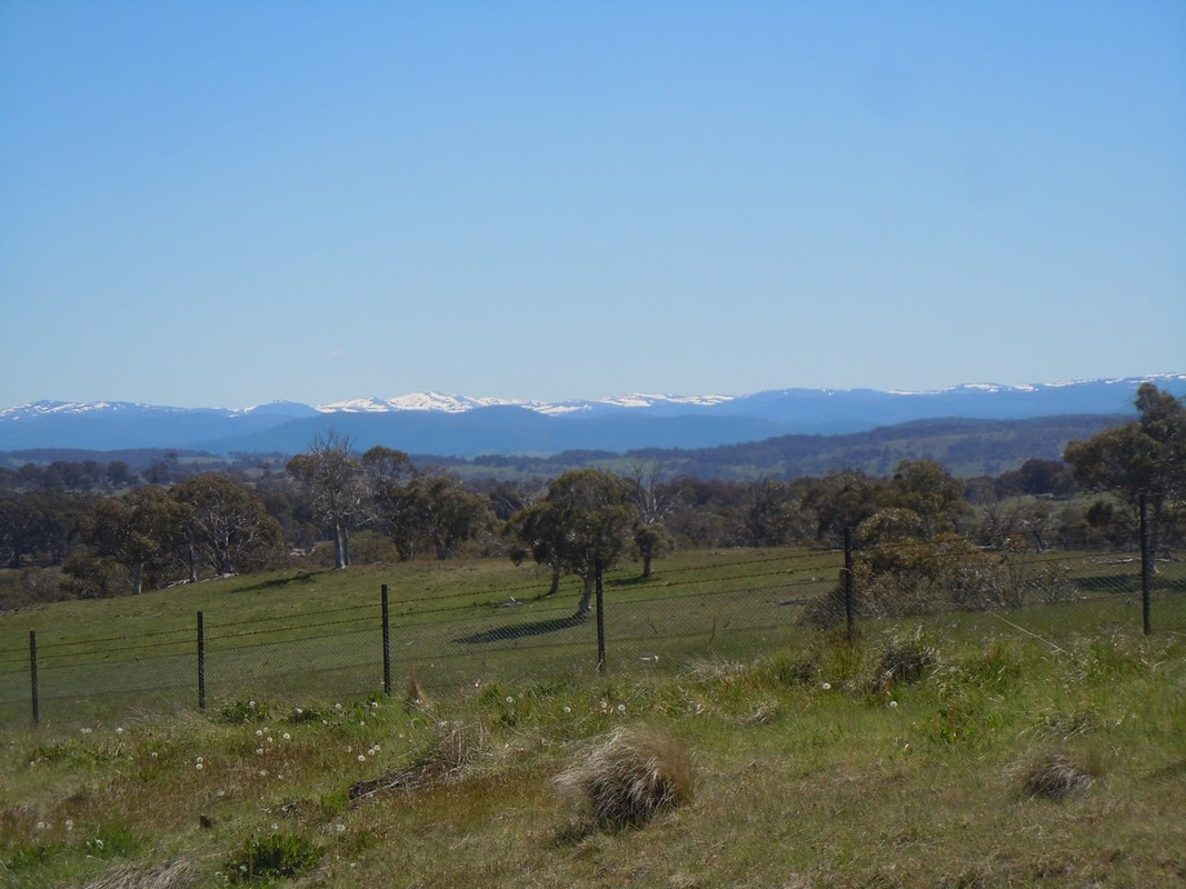
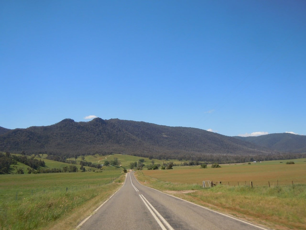
Murray Valley Highway views. First glimpse of the Snowies in the top right
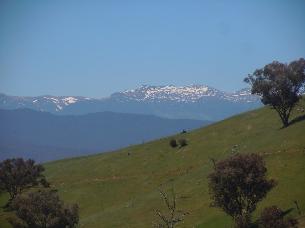
I’m not going that high!
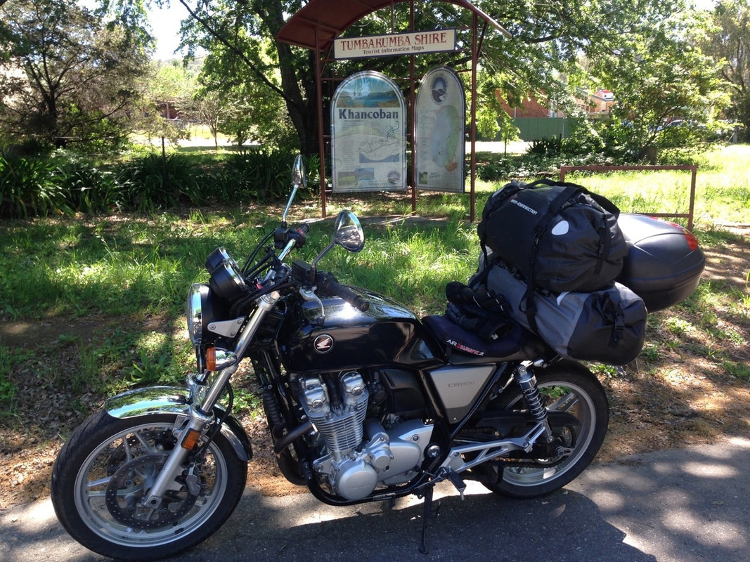
Photo opportunity at Khancoban
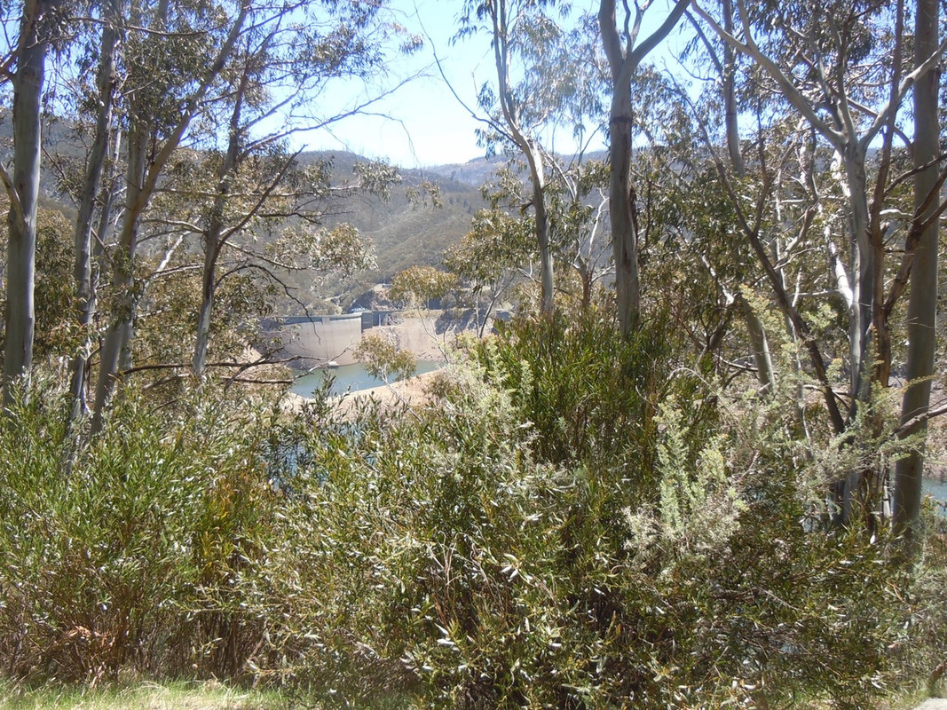
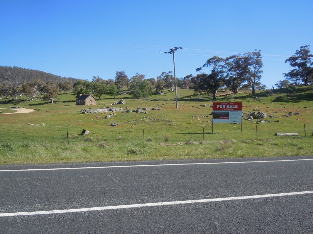
I think I went to Khancoban because I thought it was Australia’s highest town. It isn’t. That honour falls to Cabramurra which I was to ride past in blissful ignorance later that day. Anyway, it was pretty on the outskirts of Khancoban, so I stopped to take a photo before retracing my steps for about 5 kilometres and turning right onto Swampy Plains Creek Road which Pterodactyl had suggested I ride.
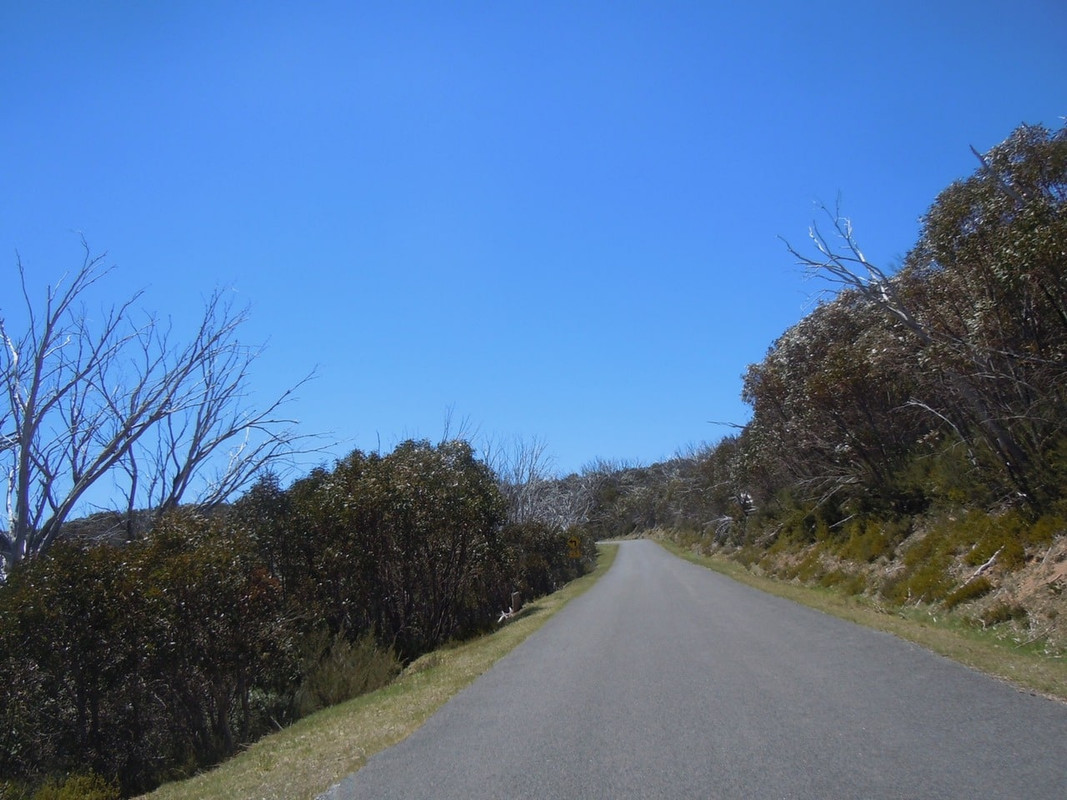
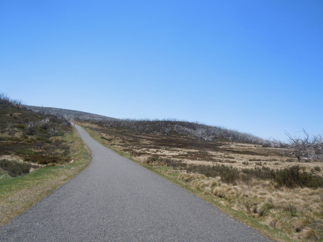
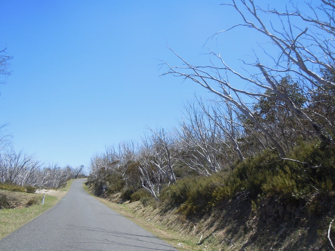
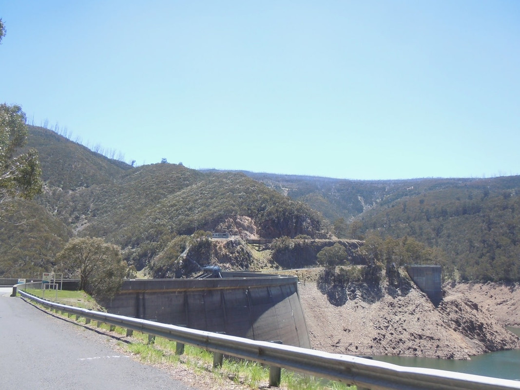
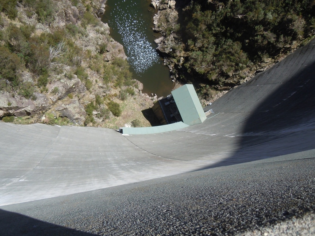
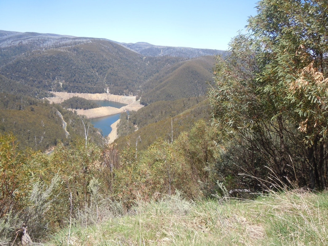
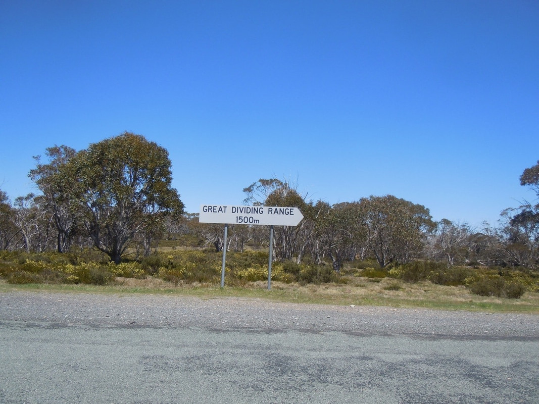
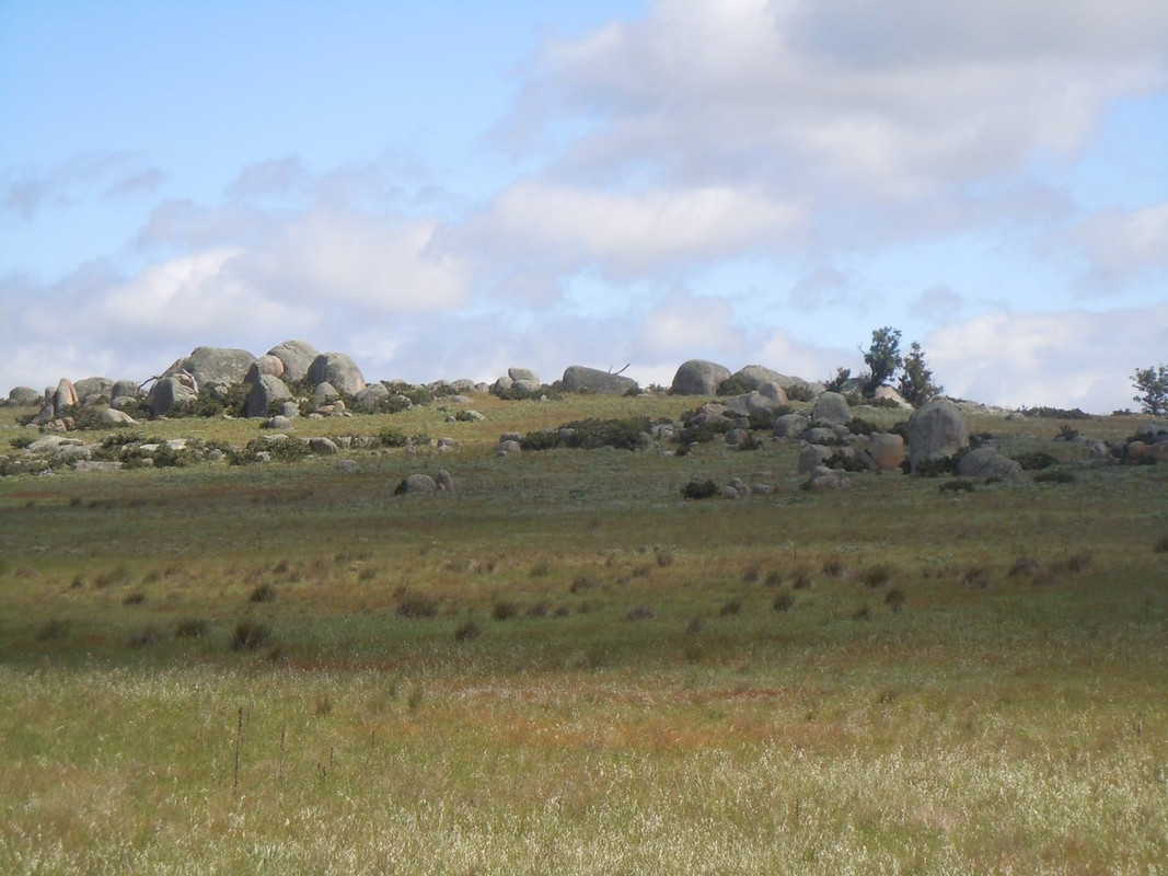
It was a great new find for the trip. I rode through bush, high plains with beautiful but dead gum trees, past dams and lakes, through cuttings, around plenty of corners, up hills, down the other side until finally I came to the Snowy Mountains Highway (B72).
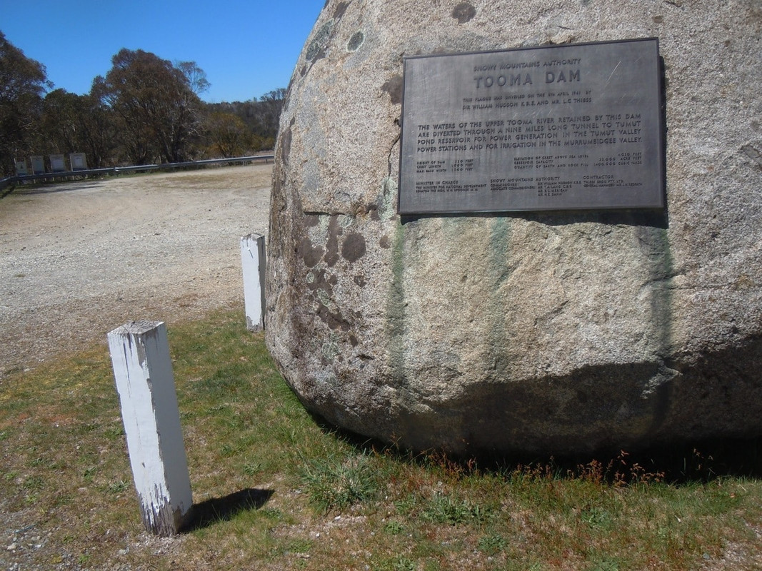
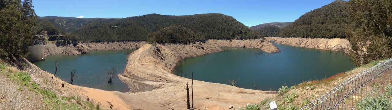
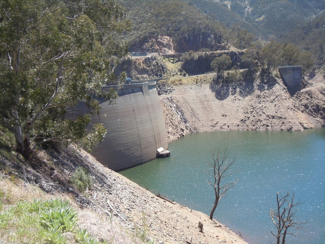
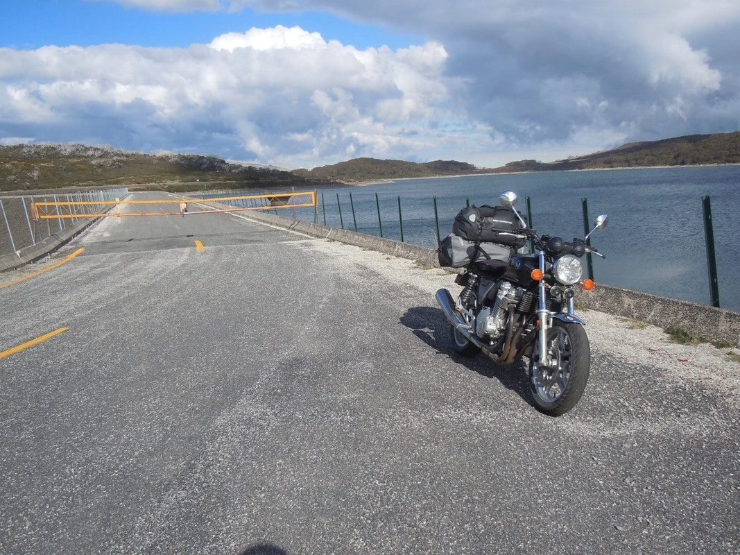
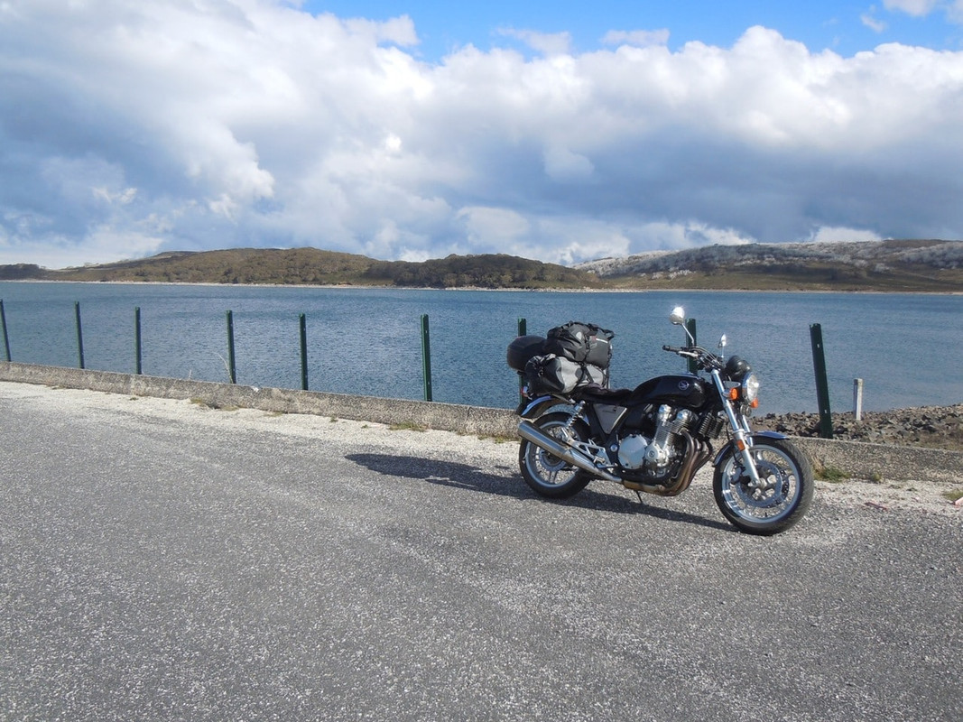
Tooma Dam