The Cormanus Chronicles: 2016

2016 MotoGP & Tasmania — Day 35

Apsley Falls to Brisbane


15 November 2016
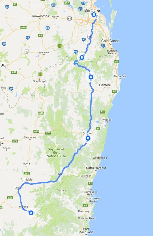
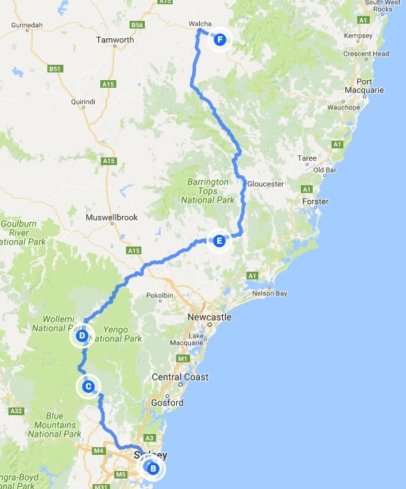
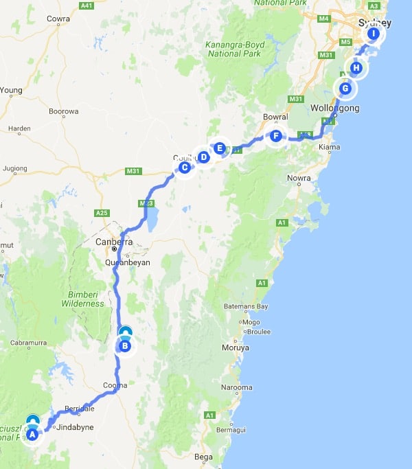
Click on the image for a detailed map

I woke to the gentle patter of rain on my tent. Mercifully, it wasn’t much and didn’t last long and it was dry by the time we packed our gear for a later-than-hoped-for start. I must have had the shakes as the photos I took of the camp are too blurred to post. The weather looked foreboding, so we put on our wet weather gear and made our way back to Walcha where we stopped at a motorcycle friendly café for breakfast. Walcha is a popular spot for motorcycles as it sits at the top of the Oxley Highway, considered to be one of Australia’s best motorcycle rides.

Warren, author of the blog Motorcycle Paradise and one-time CB1100 rider wrote of it thus:

The Oxley remains one of the top rides in Australia or anywhere. Some roads have lots of corners all squashed together so you spend all your time on mid change of direction rather than enjoying a radius and hang time. The tail of the dragon I am reliably told is like that and super overrated. Other roads are very photogenic, like Stelvio, which I can personally vouch is lousy to ride being just lots of u-turns connected by straights and overrated. The Oxley however is a true riders delight. Not only does it have a huge number of corners but they come at you in every sort of radius, spaced out to be well defined. The road is maintained to near perfect condition by people who themselves ride it and is low traffic not a popular route for cars, campers or trucks

While I think it unfair to say the Tail of the Dragon is “super overrated” I think the Oxley is a better road. It’s prettier, longer and way more varied. During the week, there is way less traffic too.

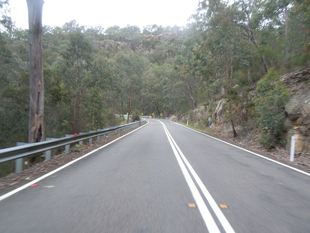
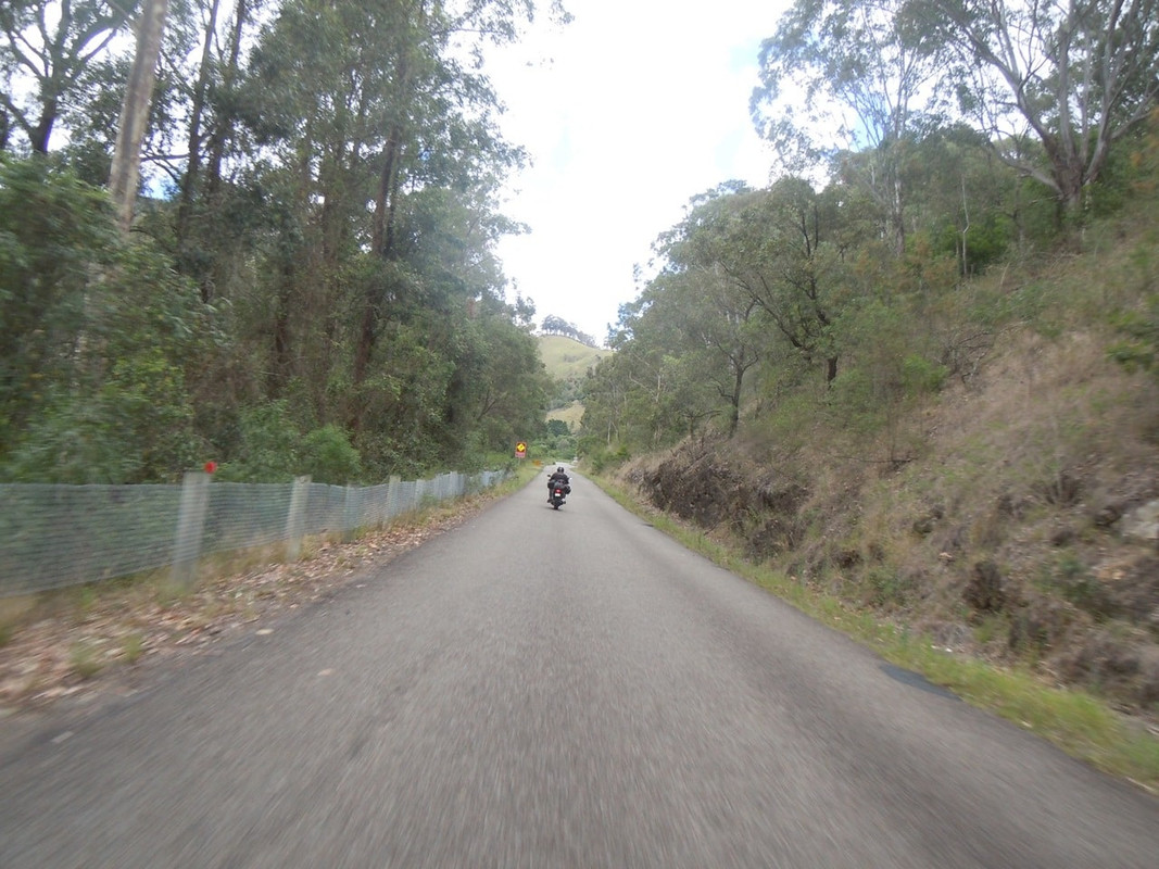
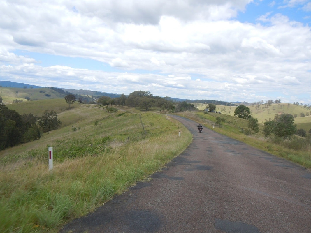
Sadly, perhaps, Pterodactyl and I were going nowhere near the Oxley this day. Instead we took the Armidale-Grafton Road down from the range. That is some consolation prize. It’s also a fantastic road — at least as good as the Oxley, although with slightly more traffic to contend with. On day one of this trip I rode it in the other direction so I won’t say more now, other than to mention a lesson I learned.

Pterodactyl is a better rider than me. On any section of winding road, I’d back him to get from one end to the other more quickly. For that reason I usually follow him and accept he’ll be waiting at the other end. This day, for some reason, I let him talk me into leading. At the moment I rode too quickly into a left-hand corner and swung wide getting out of it, I realised having him behind me was a source of pressure. I know this is entirely my problem. There is no pressure from Pterodactyl; however, I felt it and had to make a conscious effort to slow down the little bit necessary to get back into my comfort zone.

The lesson? If you find yourself putting yourself under pressure because you are following or being followed by a better or faster rider, get out of the situation.

We stopped in Grafton for an indifferent but welcome sandwich before saying farewell again. Pterodactyl was off to see his son on the coast while I was to head north.

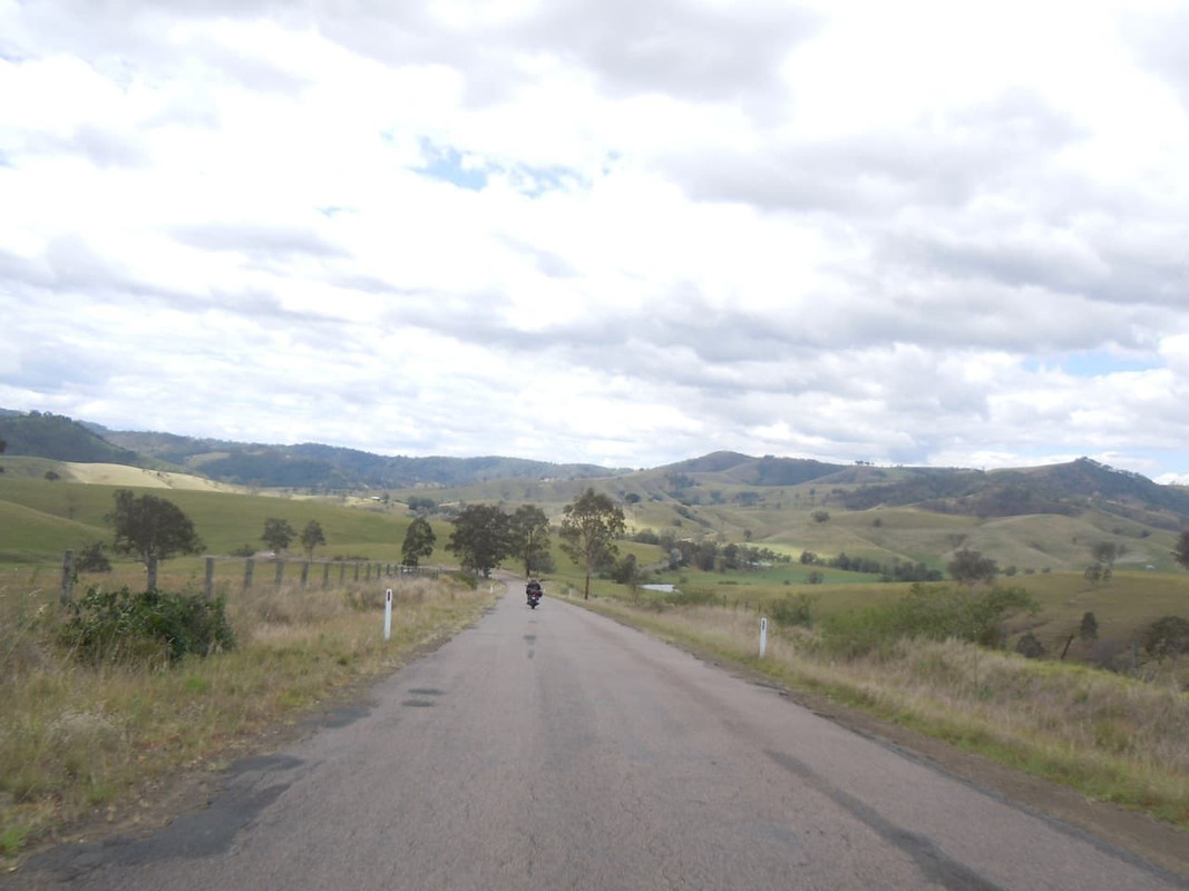
I made my way north through Grafton to the Summerland Way (which another motorcycling friend of mine has renamed the Slumberland Way). It’s cruel. It’s a good, fast road through pretty countryside, but by comparison with any number of other roads in the area, it’s just not very interesting.
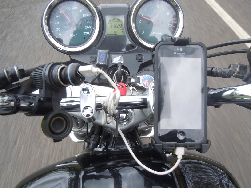
Another milestone shot just north of Grafton
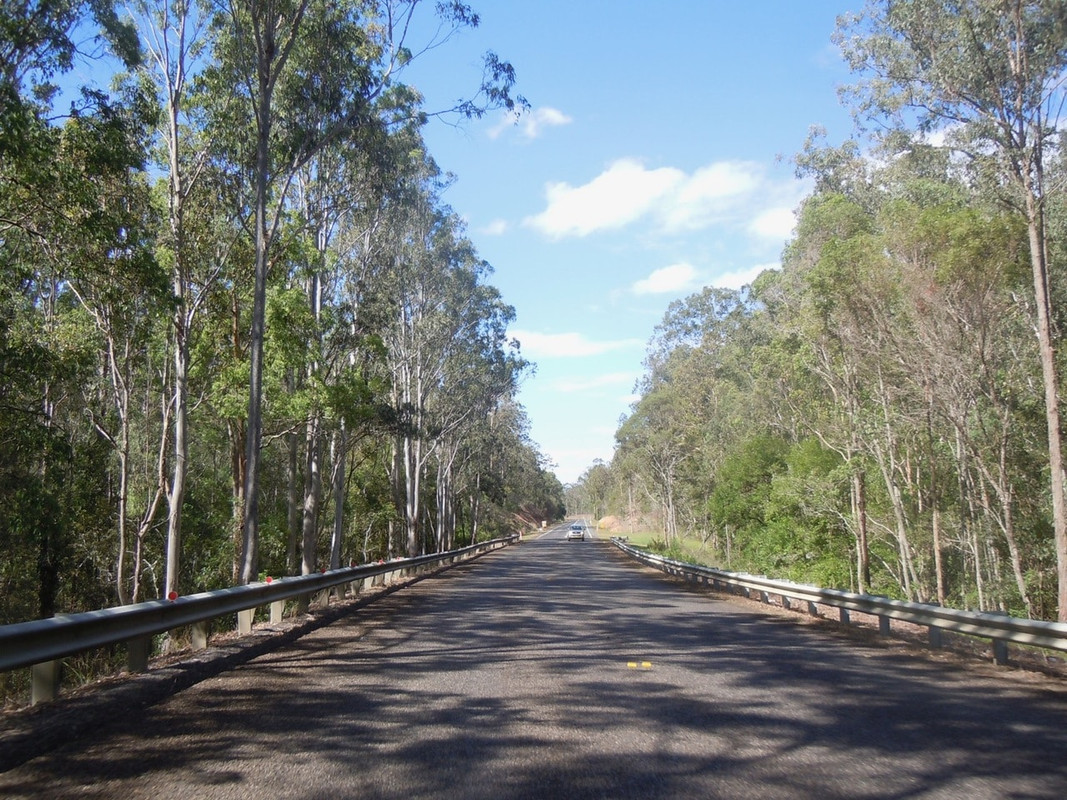
The Summerland Way

It’s about an hour from Grafton to Casino, where I refuelled, and then another 20 minutes to Kyogle. After that the Summerland Way gets progressively more entertaining as it approaches the Border Ranges. As I’d come down on the Lions Road, I decided to complete the circle and return over the Mount Lindesay Highway which is actually a better ride, bar a section north of the border where the atrocious surface makes corners that should be sheer entertainment mildly unpleasant.
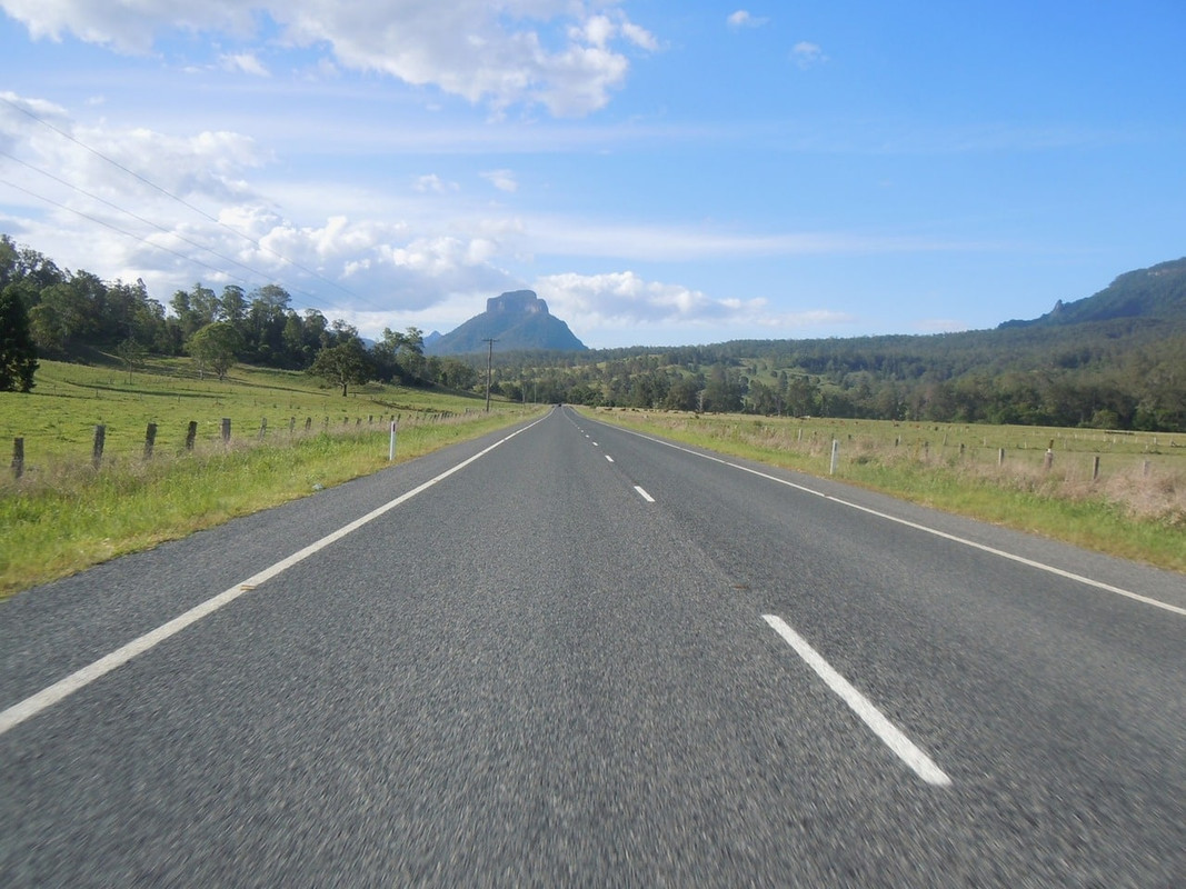
First glimpse of Mount Lindesay. The road takes you to the other side of it and between it and the Mount Barney National Park
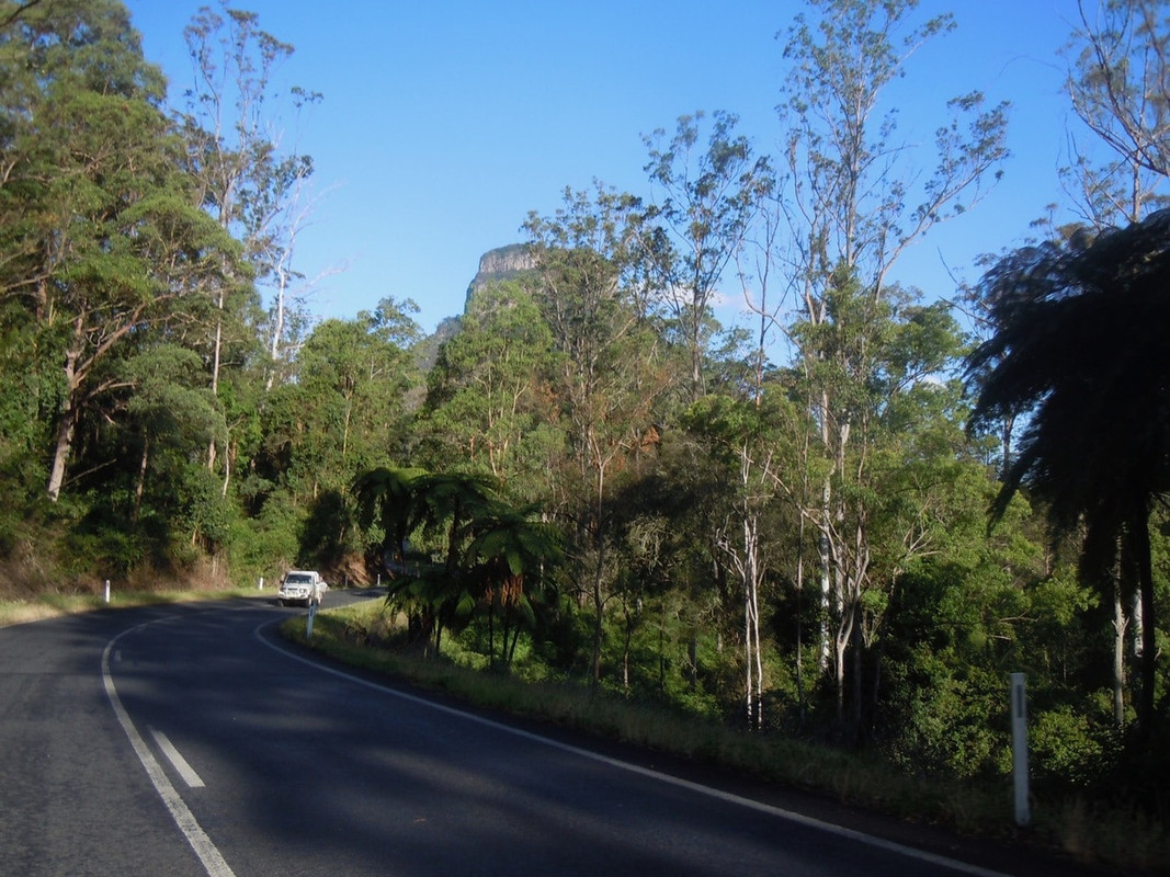
A glimpse of Mount Lindesay from the New South Wales side of the border on a glorious section of the road
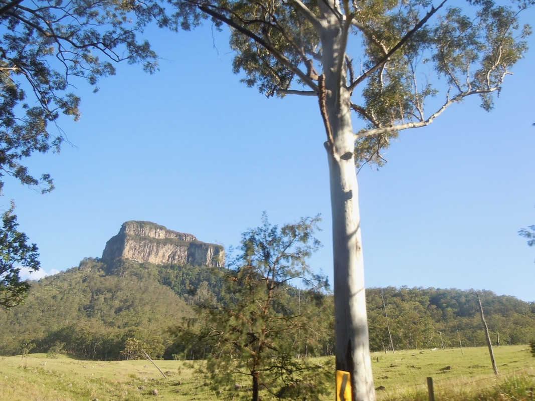
Final view of Mount Lindesay from the Queensland side of the border

The interesting bit of the road ends at Rathdowney and from there its really a bit of a slog through Beaudesert, Jimboomba and Browns Plains where the motorway starts. By then my backside was sore and I was tired. The last 100 kilometres were really quite hard work.

It was with a sense of relief that, just before 1830 I pulled into the drive at home.

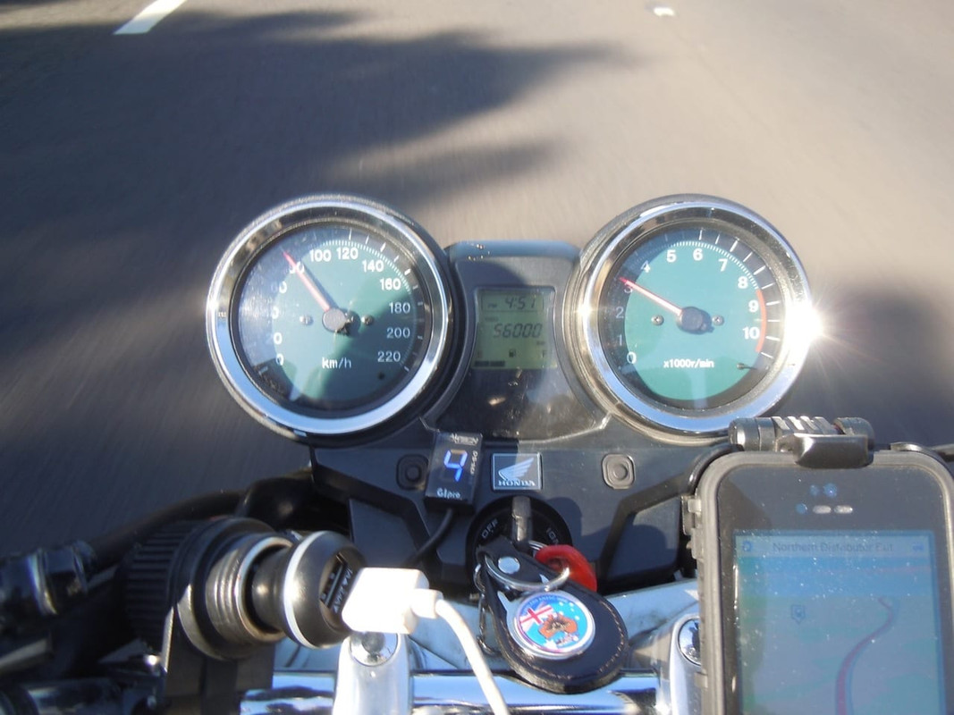
I haven’t added up the distances I’ve reported in this chronicle as I’ve generally taken them straight from the maps I’ve drawn. With a bit of fiddling about here and there and the inaccuracy of the CB’s speedometer, they’ll be a little different to what I recorded on the bike.

I was away 35 days and rode 8,298.9 kilometres (5,156.7 miles).
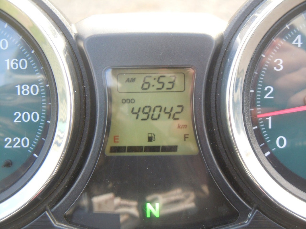
Start
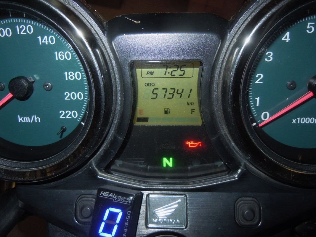
Finish. 8,298.9 kms later

I used 443 litres (117 US gallons) of fuel and averaged 5.36 litres/100 kilometres (44.08 miles/US gallon). I took 940 photos on the lanyard cam; more with my phone; and several more with another camera.

I enjoyed almost every kilometre, and particularly enjoyed it that Mrs Cormanus rode part of the way with me. Even better than that, she said she enjoyed the time on the bike as much or more than any other part of our time together.

Those sections of the trip that I shared with Pterodactyl and noroomtomove were also a great pleasure and I’ll look forward to riding with both gentlemen again soon. And AussieFlyer too, I hope.

The CB1100 performed flawlessly and continues to do everything I want of it. There may well be better touring machines, but this one will do me just fine

Thanks for sticking with me through the trip.

2016 MotoGP & Tasmania — Day 34

Sydney to Apsley Falls, Walcha


14 November 2016

Click on the image for a detailed map

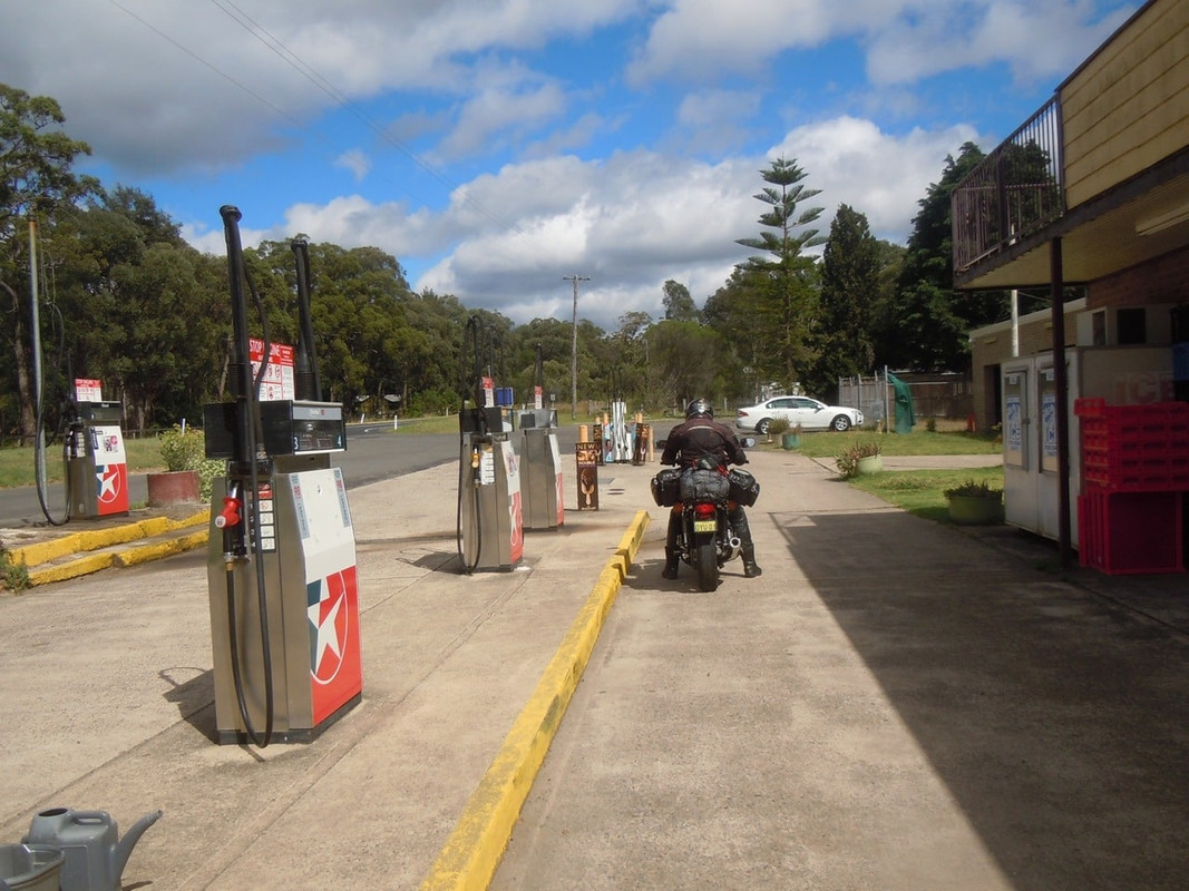
As has become our practice, I met Pterodactyl at the Caltex Service Station at Randwick. It’s a good meeting place as it’s close both to his house and my son’s apartment and convenient for escaping from the city. Even though it’s not cheap, we are quickly on toll ways that get us north out of the city.

We repeated our journey north, again aiming first for Colo Heights where we would refuel. The weather was much less threatening this time and the riding was pleasant enough once we got out of the worst of the city traffic.

Colo Heights. I think this might be the only thing there

From the Colo Heights service station it’s a pleasant 46 kilometres along the Putty Road to the Grey Gum International Café, favourite haunt of motorcyclists recharging for the famous ’10 Mile’—the section of the Putty Road to its north.

Heading for the Grey Gum Café

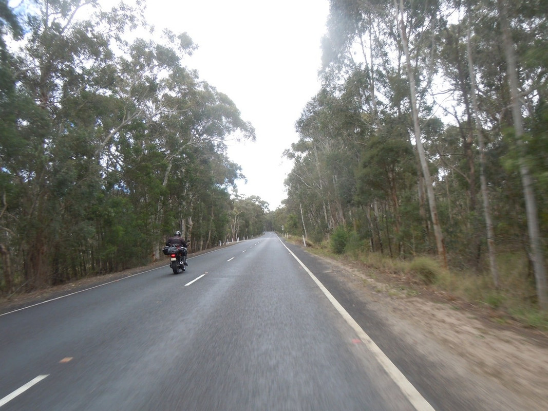
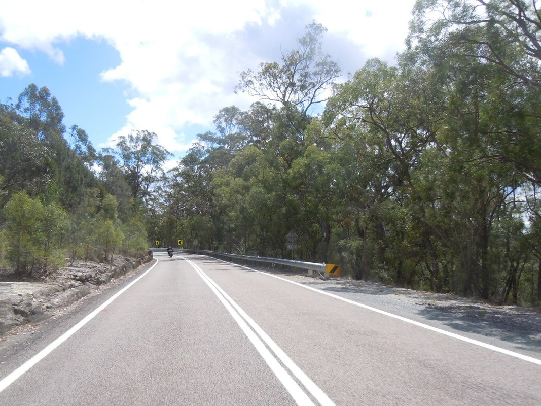
After a fortifying coffee and a comfort stop, we were off into the 10 Mile. It’s a fabulous ride. Twists and turns, a good surface and great scenery. It was Monday, too, so the usual collection of sport bike heroes were safely tucked into their employment.

Scenes from the 10-Mile section of the Putty Road

I never tire of the ride from Singleton, at the northern end of the Putty Road to Dungog and then Gloucester. The surface is not always good, but it’s scenic and there’s a good mix of road from straight to sweeper to twisty.

East Gresham on the way to Dungog

The road to Dungog

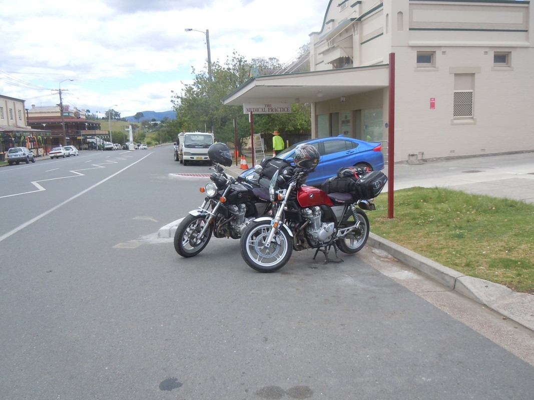
Dungog

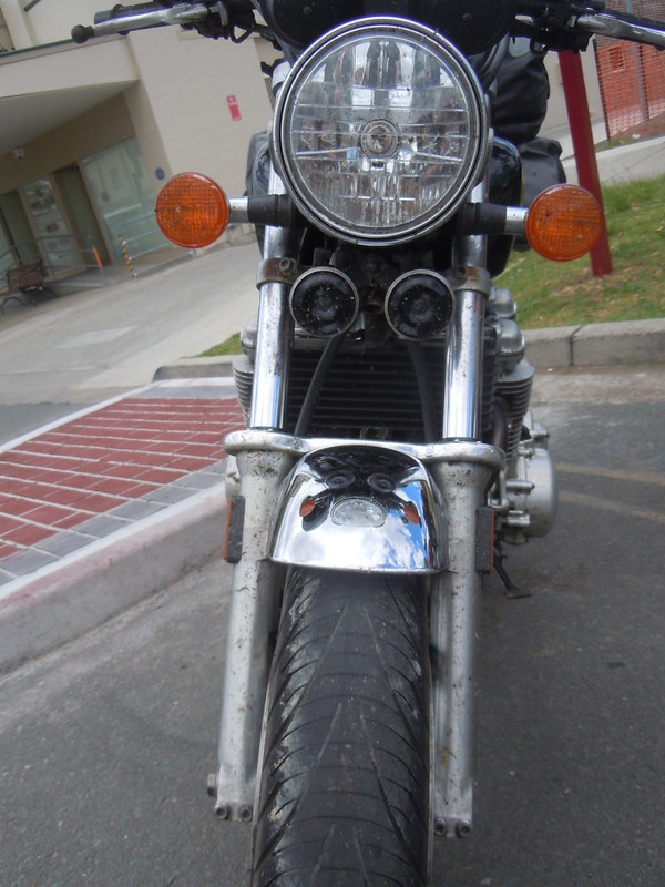
The bow of Cormanus’ CB1100 showing the consequences of the interminable battle with bugs

In the picture above, I’m at a loss to explain the glistening of the front tyre. It was a pleasant day and there was no rain about. I didn’t fall off afterwards, so I’m pretty sure it wasn’t oil either.

Dungog was very badly damaged by flash flooding in early 2015. Three people died and four houses were completely washed away. The road we entered on looks like it was first sealed in the 1930s and has been patched (not very well) a thousand times since.

After refuelling the bikes and a taking cup of tea each, we pressed on towards Gloucester.

Sections of the ride to Gloucester are also excellent fun. Indeed it was heading south on this section of road in 2014 that I had an entertaining ride behind a cattle truck.

Passing through Gloucester we turned onto Thunderbolts Way.

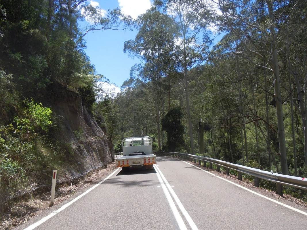
The first 60 kilometres of Thunderbolts Way is a fabulous ride. The road climbs and then descends into a valley where you ride across the pretty Manning River. You then climb again steeply up on to the plateau of the Great Dividing Range for a fast, if occasionally uncomfortable, run to Walcha. It was a much better day than the soggy, foggy one I spent on it on the way south. (See Day 2 in this post.)

The view from Carson’s Pioneer Lookout on Thunderbolts Way

In Walcha we refuelled and acquired some neck oil before heading out the 20 or so kilometres to the camp site at Apsley Falls where we passed an agreeable evening.

2016 MotoGP & Tasmania — Day 33

Sydney


13 November 2016

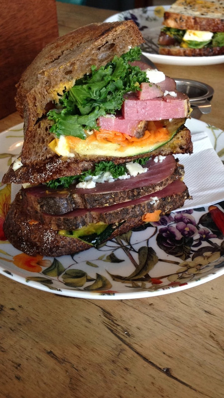
I took brunch with some old friends, battled Sydney’s appalling Sunday traffic on the way back to my son’s place and made a serious misjudgement about the size of the sandwich I’d be served (it was excellent though).

Somewhere during the course of the afternoon, I decided I’d had enough and really wanted to be home.

2016 MotoGP & Tasmania — Day 32

Jindabyne to Sydney


12 November 2016

Click on the image for a detailed map

There was movement at the station,
for the word had passed around
That the colt from old Regret had got away,
And had joined the wild bush horses - he was worth a thousand pound,
So all the cracks had gathered to the fray.

So opens AB ‘Banjo’ Paterson’s poem The Man from Snowy River, an Australian treasure and pillar of support for our romantic view of brumbies (or wild horses).

I was mildly surprised, as my hosts walked me around a small part of their beautiful property, to hear them cursing Banjo Paterson. The cloven hooves of Paterson’s much loved brumbies — which are not native to Australia — cause endless damage to the Kosciusko National Park. And the damage is getting worse as the number of horses multiplies. A draft plan by the New South Wales Government to reduce the number from 6,000 to 600 over the next 20 years has been greeted with howls of alarm.

I was more than a bit surprised when they went on to tell me that the brumby problem paled into insignificance beside the problem of feral deer. Indeed, having read stories of deer and motorcycles on the forum, I was alarmed at having to deal with the prospect not only of kangaroo, but also of deer on Snowy Mountains roads.

Deer breed more rapidly than horses and enjoy some bizarre historic statutory protection in NSW. My hosts told me they’d shot well over 300 deer on their property in 2016 alone and were struggling to keep up with the problem.

I wouldn’t have minded a couple of days of bucolic respite in the mountains near Jindabyne, but I was due in Sydney that evening, so a bit later than I hoped, I set off, hoping to cut across country to Braidwood and thence to the coast.

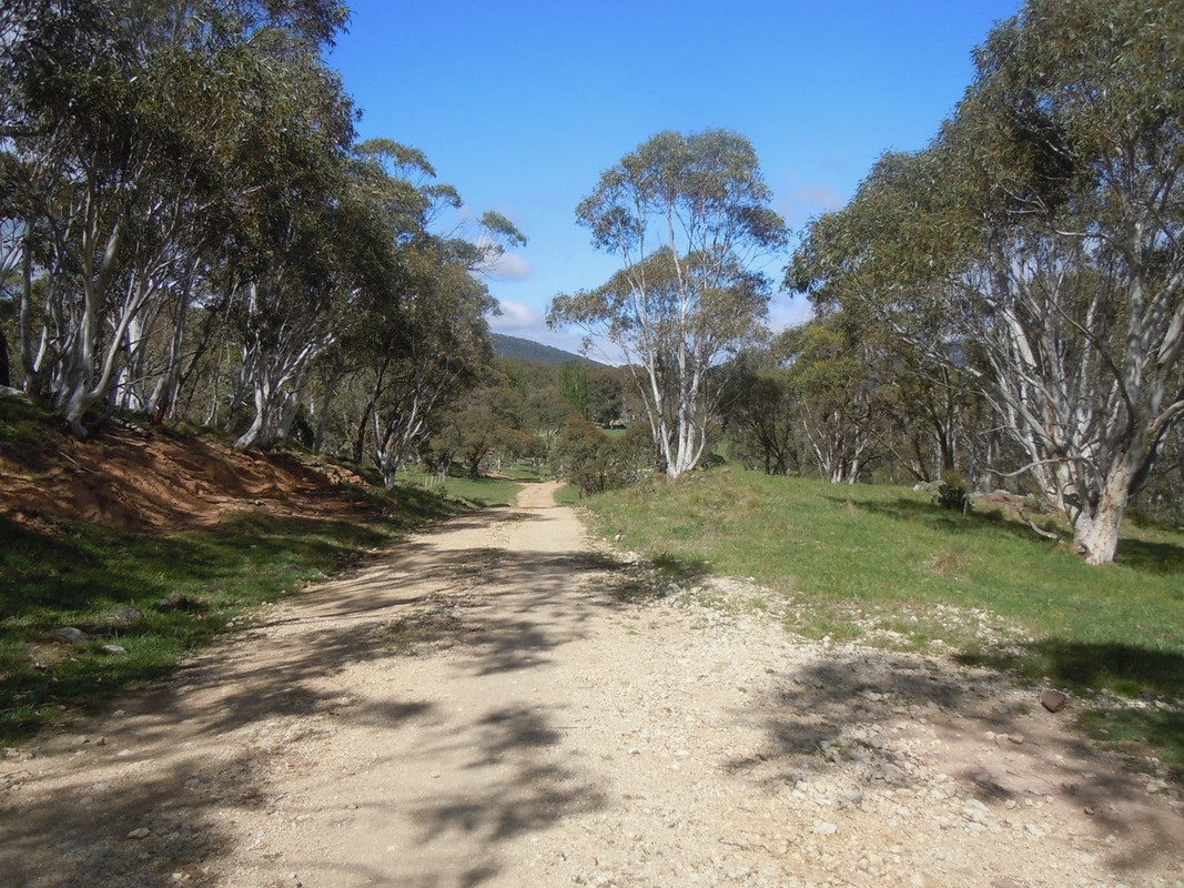
The road out of the farm

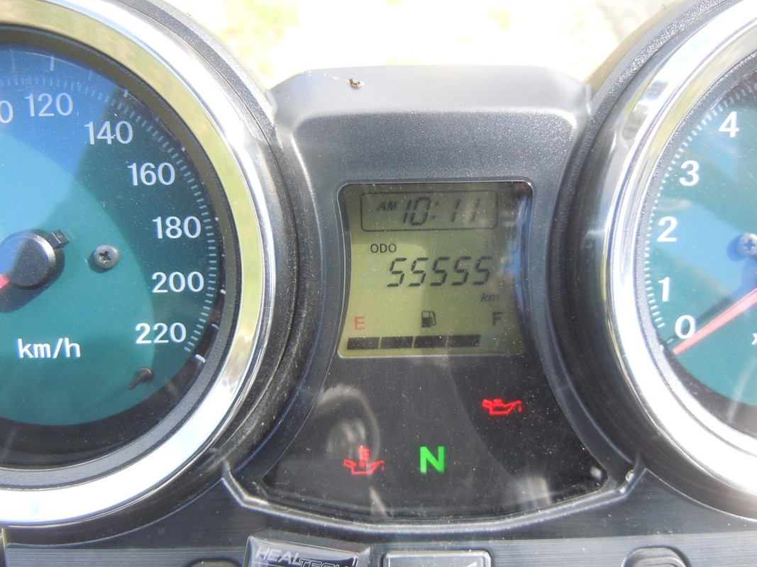
An irrelevant milestone shot

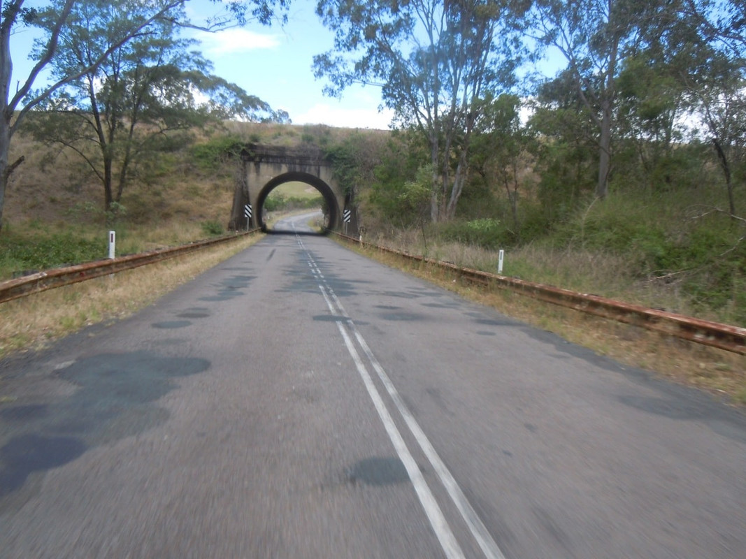
Of course, within about 10 km of hitting the Jerangle Road I ran into … no, not a deer … dirt. I was conscious that I had a full day’s ride ahead and that I had no idea how long the dirt lasted, so I turned back and headed up the main road to Canberra, where I joined the highway to Sydney. The only surprise was seeing water in Lake George just to the north of Canberra. It’s usually empty, but this day showed how big a shallow lake can become in the right conditions.

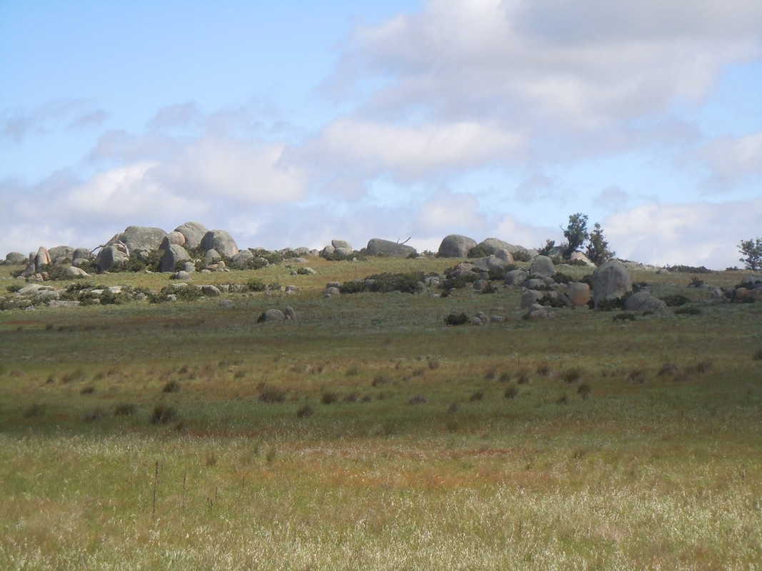
High country

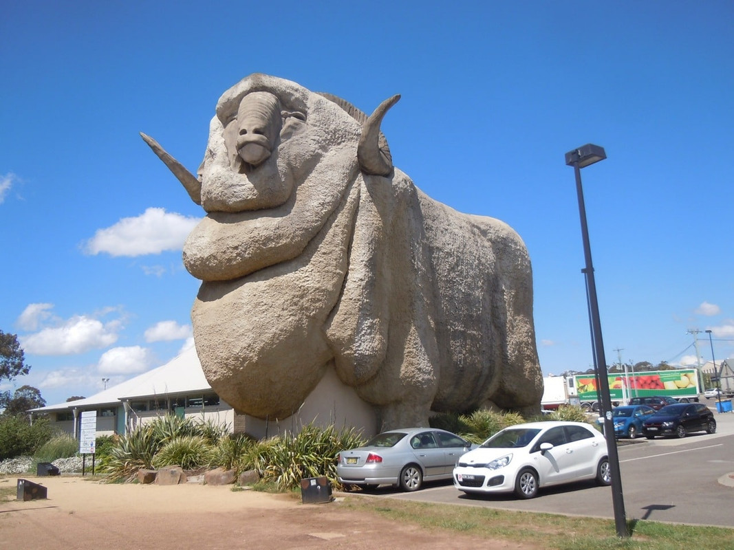
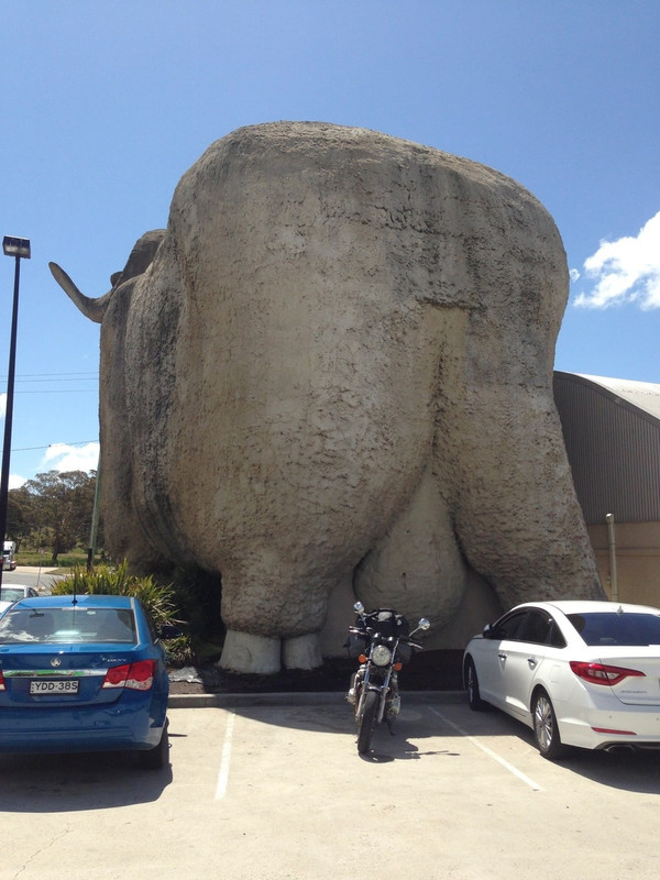
I stopped for fuel and something to eat at Goulburn, home of the Big Merino—an Australian Big thing wonderful both for its size and attention to anatomical detail.

While there I was struck by the stunning selfishness of a bloke on a sports bike who felt it was OK to fill his bike with fuel and then abandon it next to the bowser while he wandered off to get something to eat and then sit down in the café to eat it. I guess it must have been a hard bike to move.

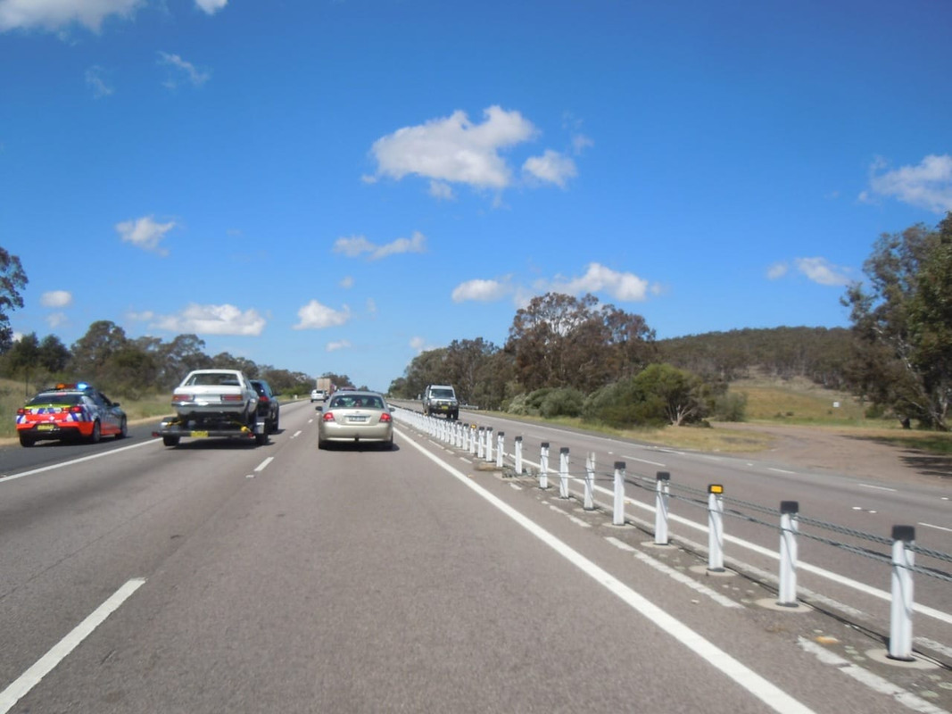
I hit the highway again for what I hoped would be a reasonably quick run to Moss Vale where I planned to turn off for the coast. It was not to be. About 15 kilometres up the road I was travelling in the outside lane when the blare of a police siren penetrated my noise cancelled bliss. I looked in the mirror to see a khaki police car bristling with ariels and lights-a-flashing. I wasn’t speeding, but nonetheless an innate paranoia kicked in and I wondered what I’d done. I accelerated and pulled quickly into the other lane.

The police car steamed by and, in another 5 kilometres I found out why: one of the old 4-door MGs with the rounded roof had collided with a Nissan Pulsar. The two elderly occupants of the MG were badly injured.

Australia’s main highway between Melbourne and Sydney. The police car on the left is the one that passed me and is stopping here, presumably to start slowing traffic before the accident

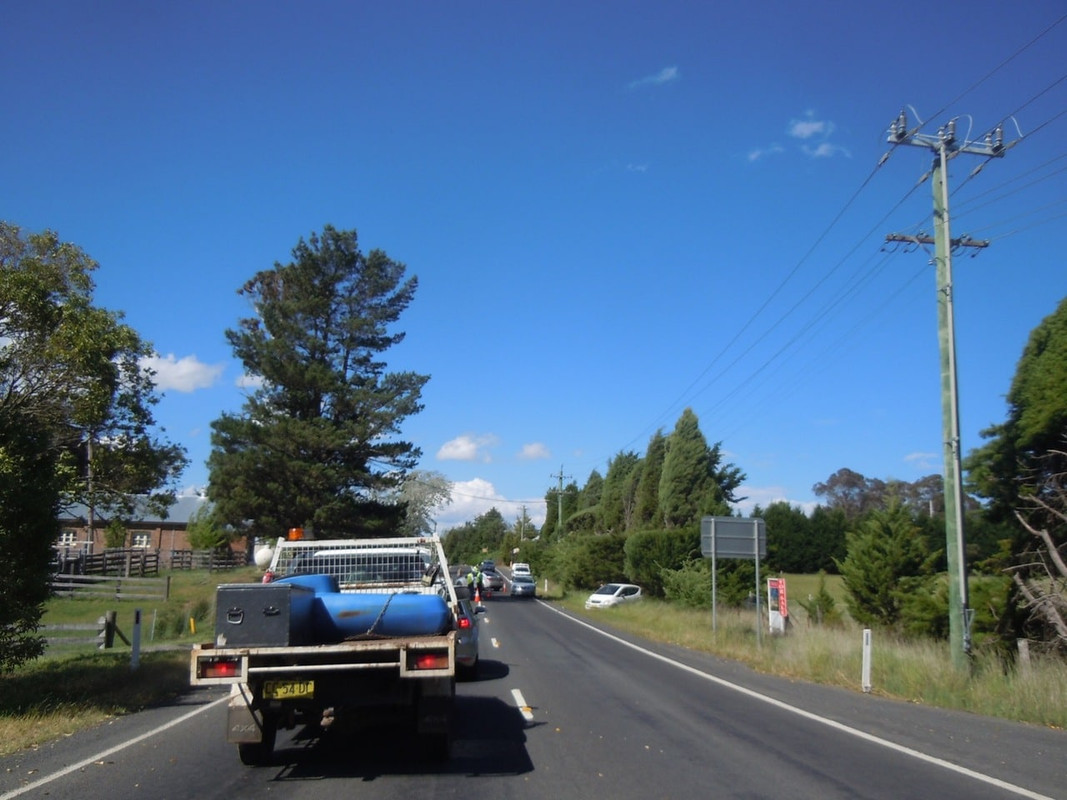
Traffic was banking up, but I was able to cruise up the shoulder and realised the accident had occurred at an intersection. Trusting that the road went somewhere, I turned off and had a quiet country interlude that took me eventually to Moss Vale. In Moss Vale the first thing I encountered was a minor traffic accident and further delays.

Another accident entering Moss Vale

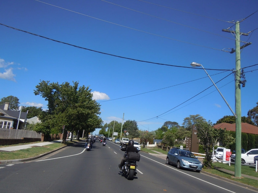
I also encountered a large group of Harley riders leaving a pub to resume their ride. I tagged along at the end of the long line, letting the stragglers past and hoping they were not going the same way as me.

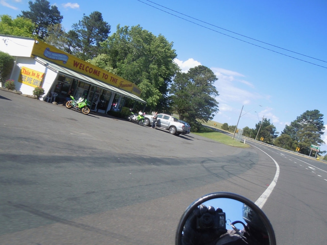
They weren’t, and I proceeded across the plateau to the Robertson Pie Shop.

The Robertson Pie Shop

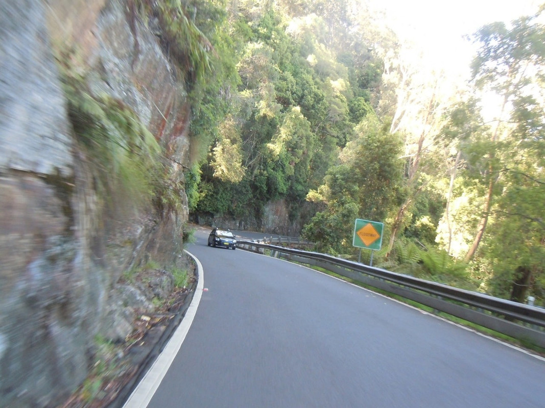
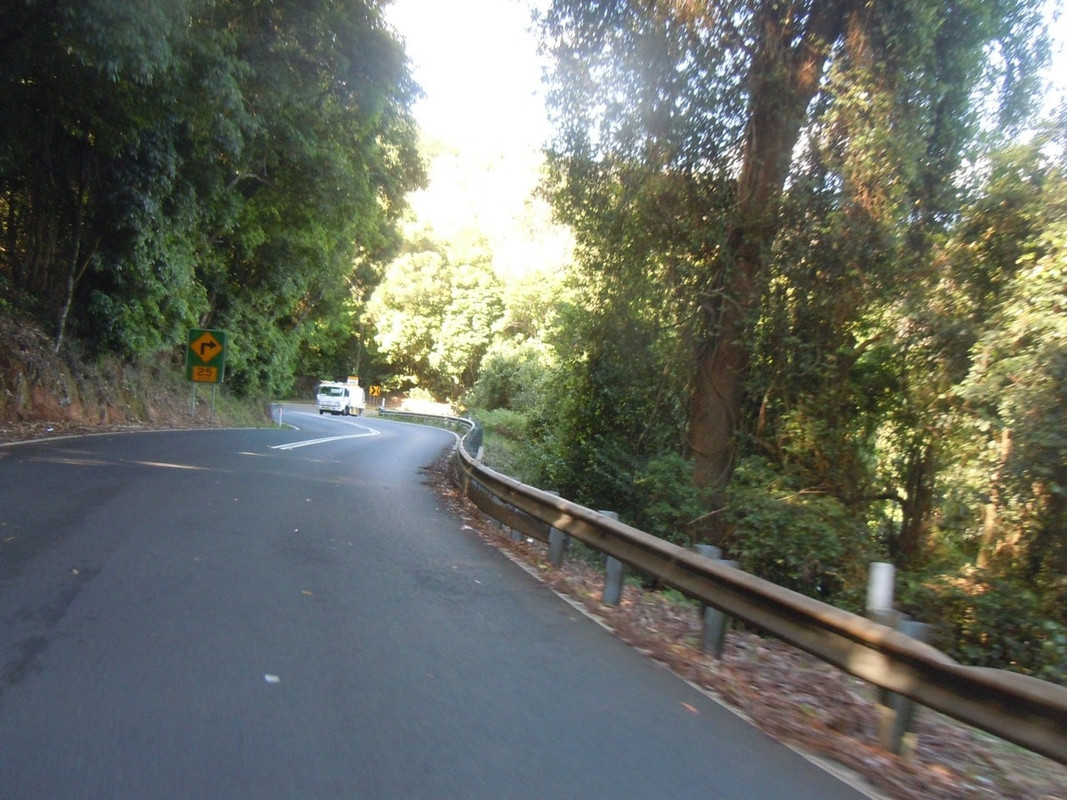
From there it was down Macquarie Pass.

Macquarie Pass

By the time I reached Albion Park at the bottom of the pass it was a warm afternoon and I stopped to remove another layer or two.

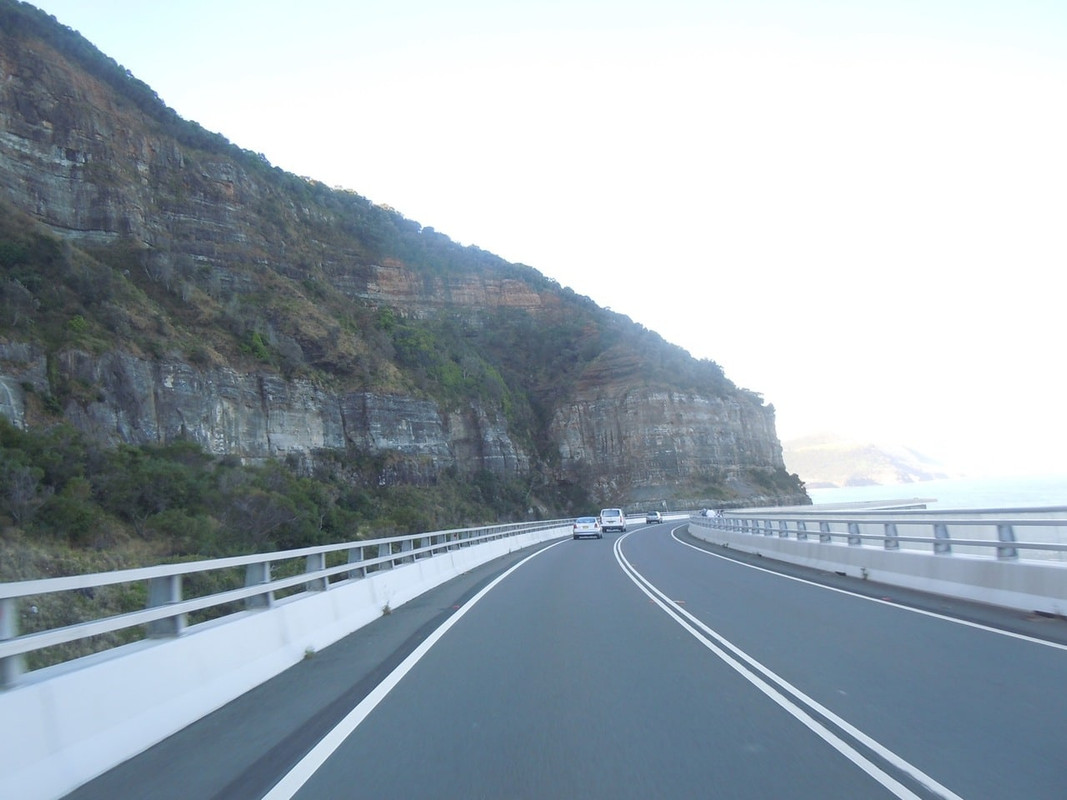
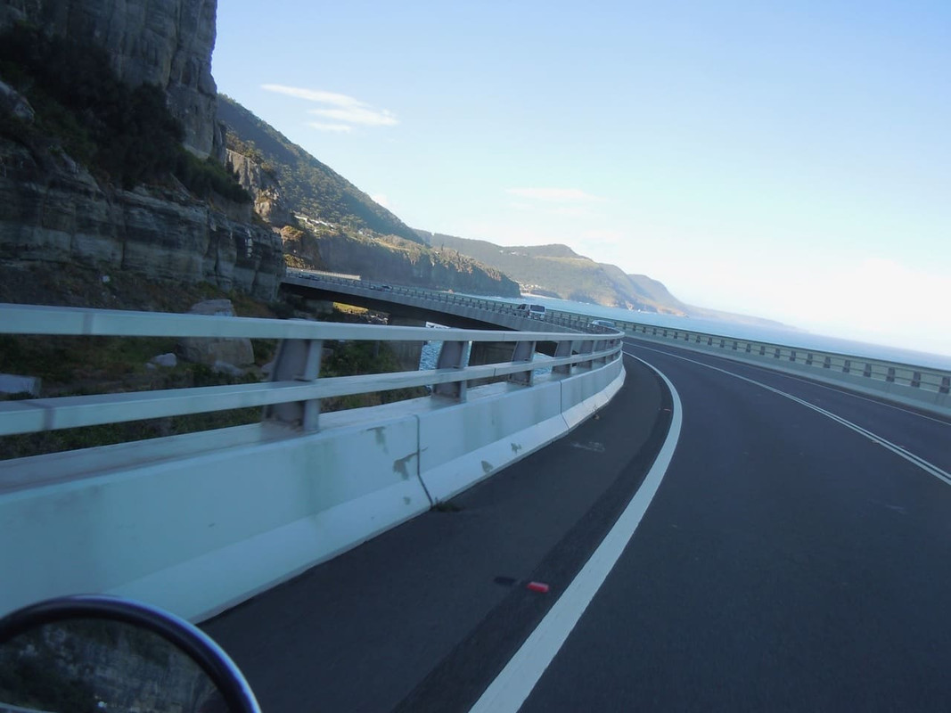
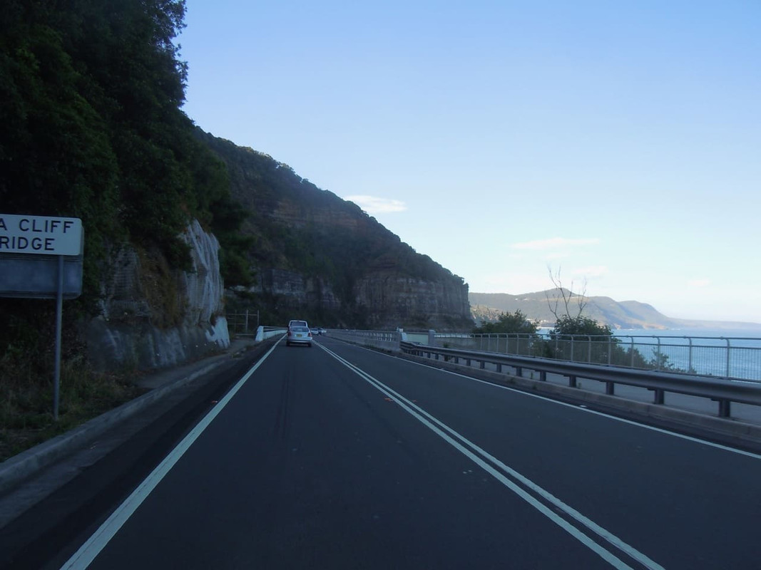
Other than the Seacliff Bridge north of Wollongong, the Royal National Park north of that, there’s not much to report about the ride into Sydney. It was hot, the traffic was horrendous and I was later arriving than I had intended to be. Luckily my son has good taste in pubs and we were quickly ensconced at the Duck in Chippendale enjoying a beer and an excellent dinner.

A random milestone

Seacliff Bridge

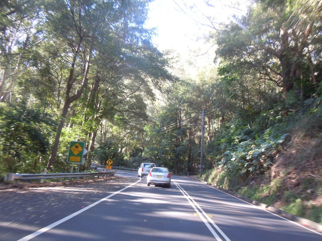
Royal National Park

2016 MotoGP & Tasmania — Day 31

Mt Beauty to Jindabyne


11 November 2016

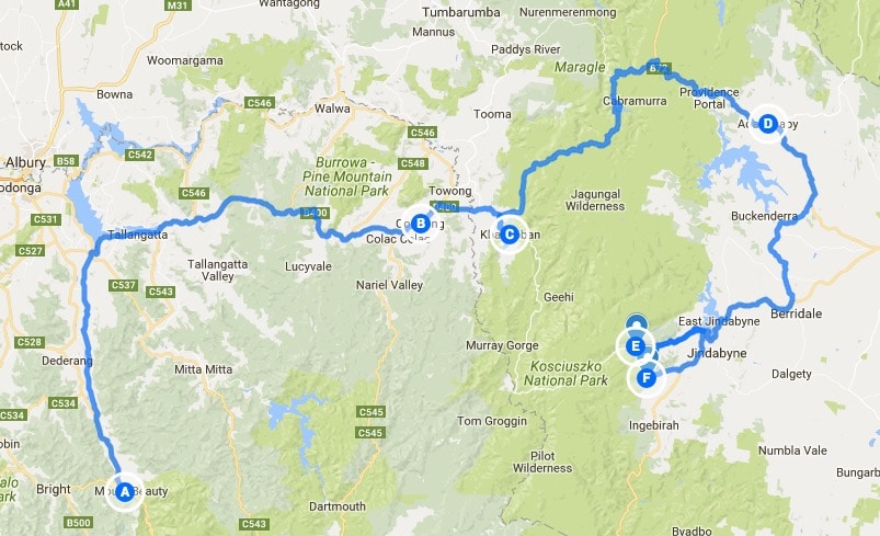
Click on the image for a detailed map

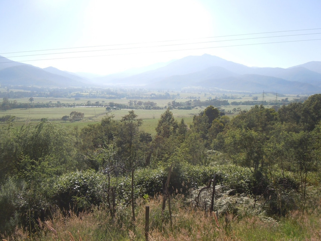
It was a glorious morning in Mt Beauty. I loaded the bike and headed north to the Murray Valley Highway (B400) and then west to Corryong, where I refuelled, and Khancoban, where I went for a look.

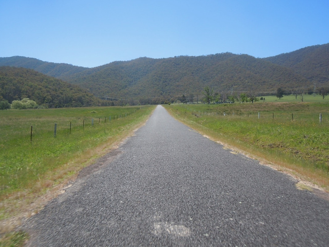
Heading north towards the Murray Valley Highway on a glorious morning

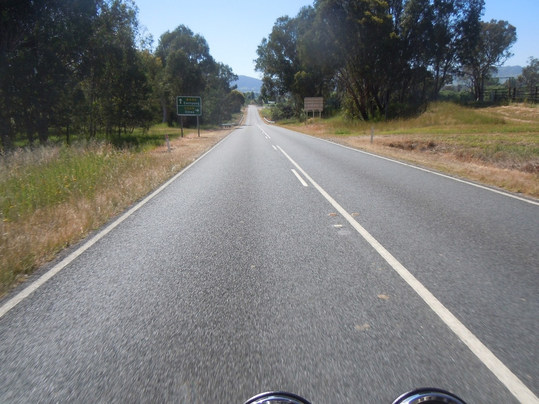
The sign ahead points to the Omeo Valley Highway and so I had completed some sort of a circle since being here on Day 8

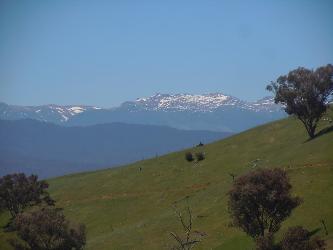
Murray Valley Highway views. First glimpse of the Snowies in the top right

I’m not going that high!

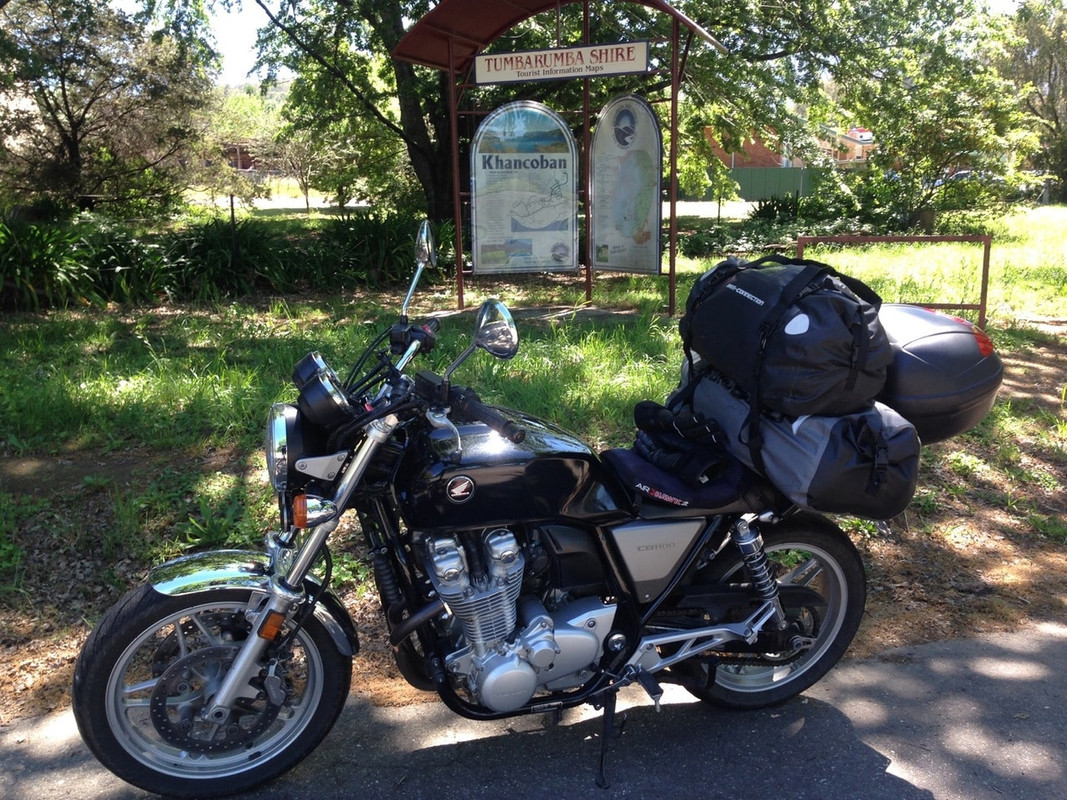
Photo opportunity at Khancoban

I think I went to Khancoban because I thought it was Australia’s highest town. It isn’t. That honour falls to Cabramurra which I was to ride past in blissful ignorance later that day. Anyway, it was pretty on the outskirts of Khancoban, so I stopped to take a photo before retracing my steps for about 5 kilometres and turning right onto Swampy Plains Creek Road which Pterodactyl had suggested I ride.

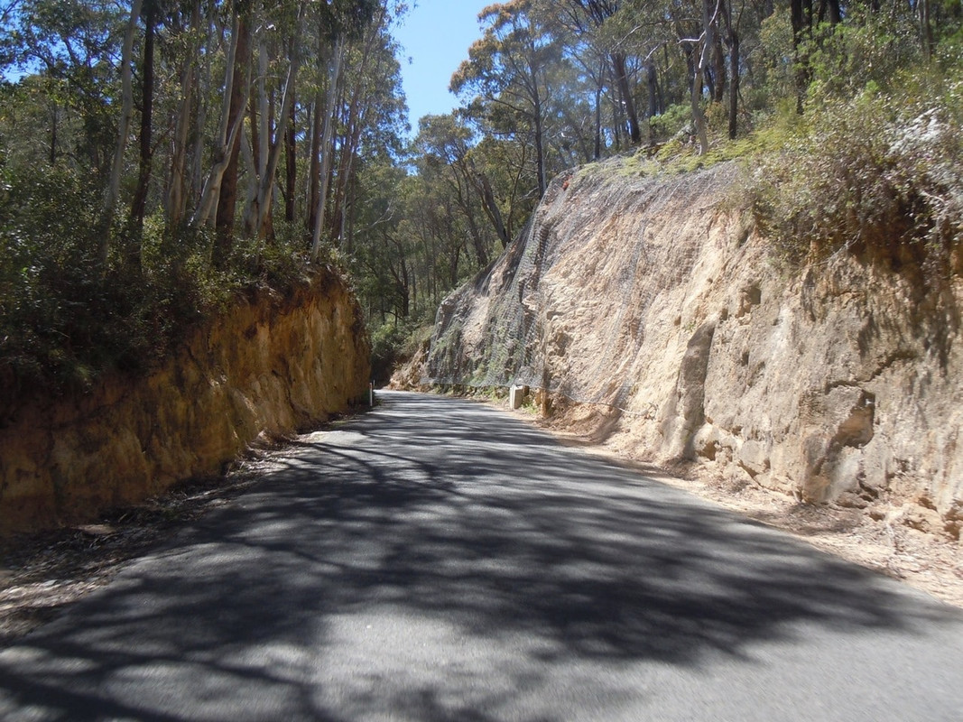
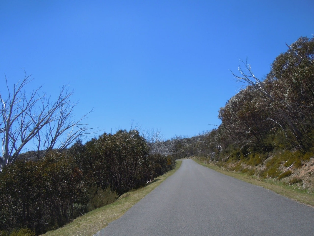
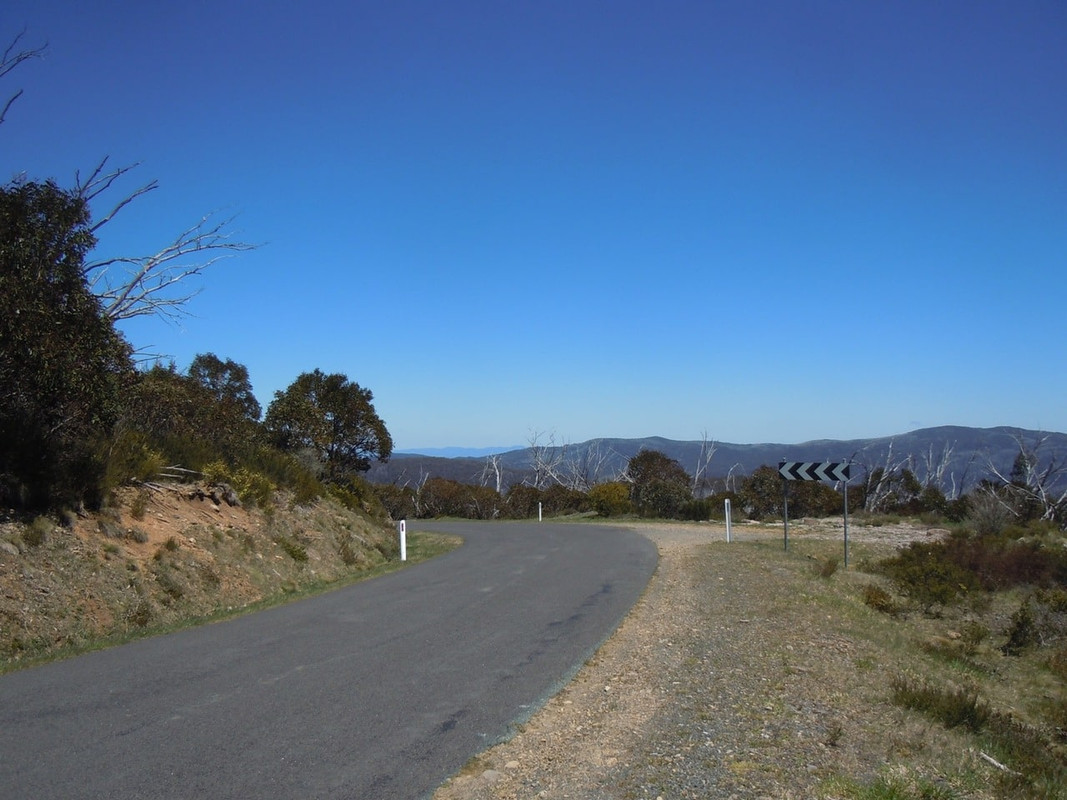
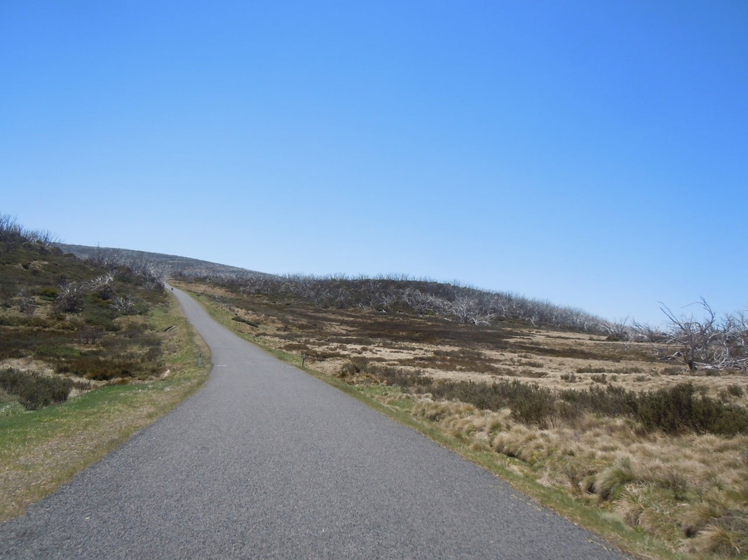
It was a great new find for the trip. I rode through bush, high plains with beautiful but dead gum trees, past dams and lakes, through cuttings, around plenty of corners, up hills, down the other side until finally I came to the Snowy Mountains Highway (B72).
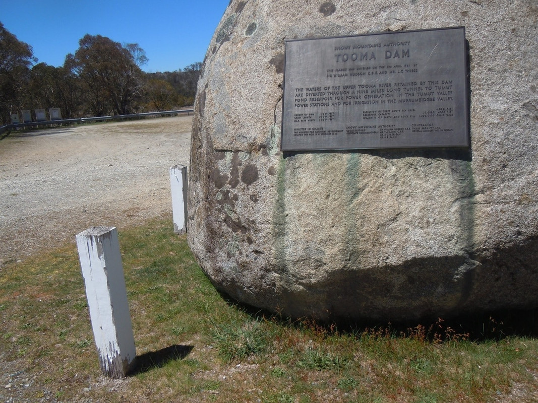
Tooma Dam

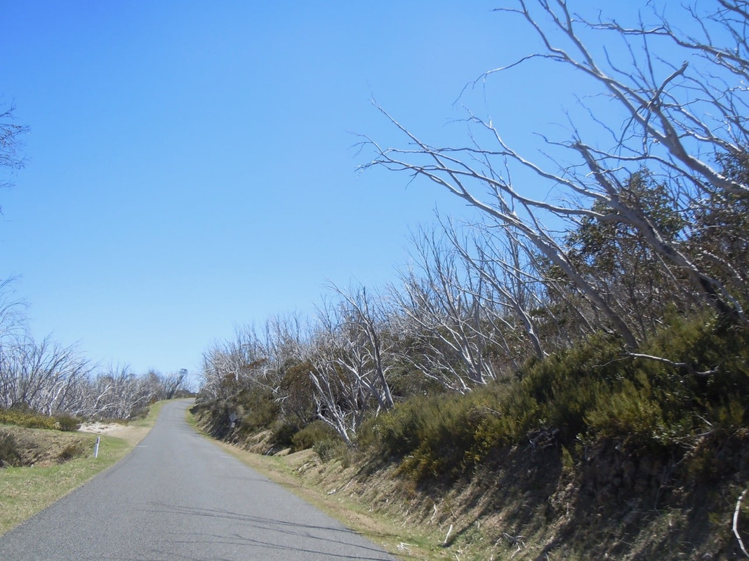
Snow gums

Many Australian eucalypts thrive on being burned occasionally. Indeed they need it to regenerate. There was clear evidence of fire along much of this road. One is greeted with the sight of blackened eucalypts still producing new growth. There are also a great many of the dead snow gums that can be seen in the above picture. Apparently they will regenerate, but from below the ground, so eventually, presumably, this beautiful dead growth will disappear and be replaced by new trees.

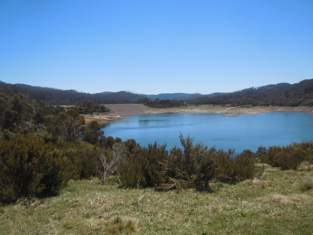
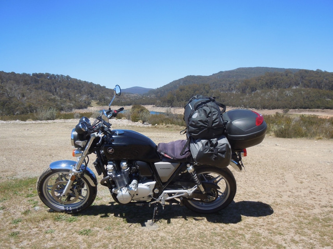
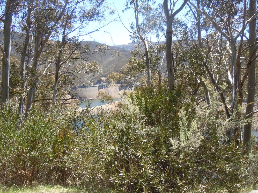
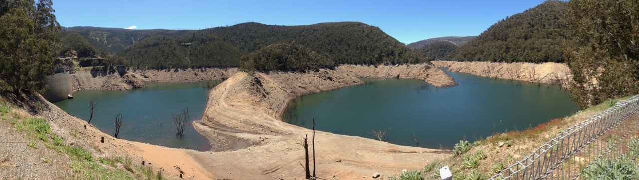
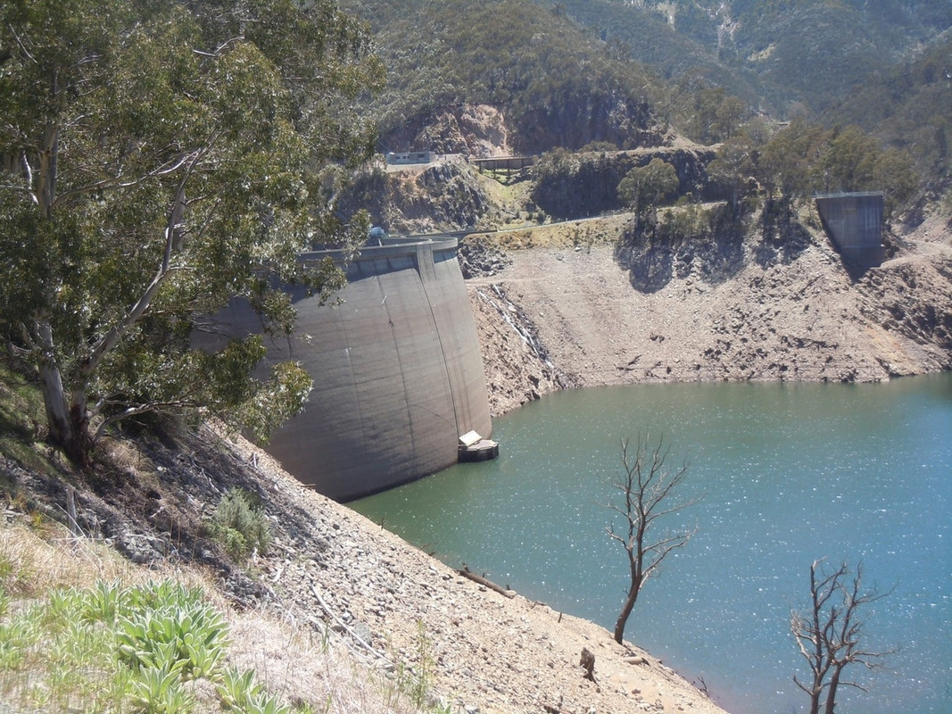
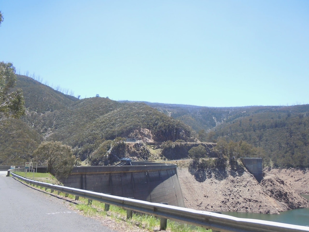
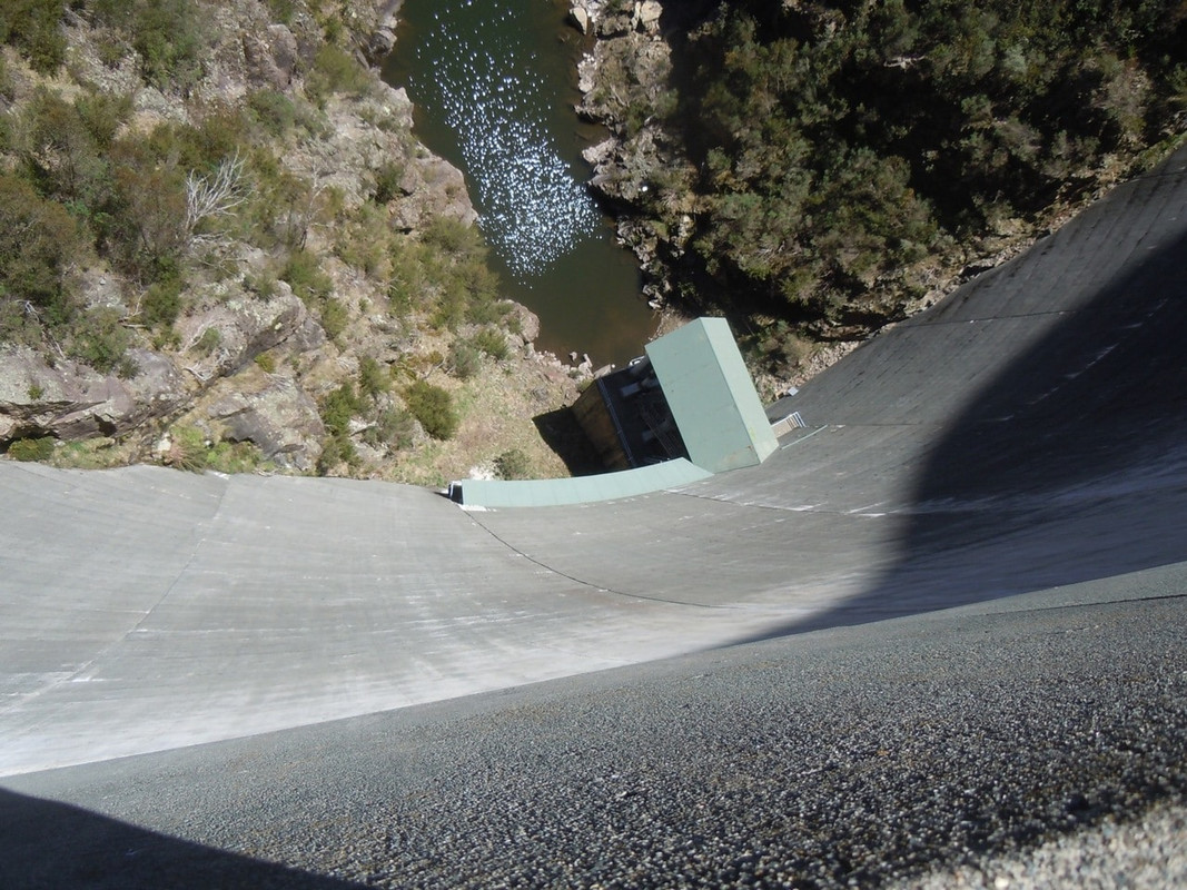
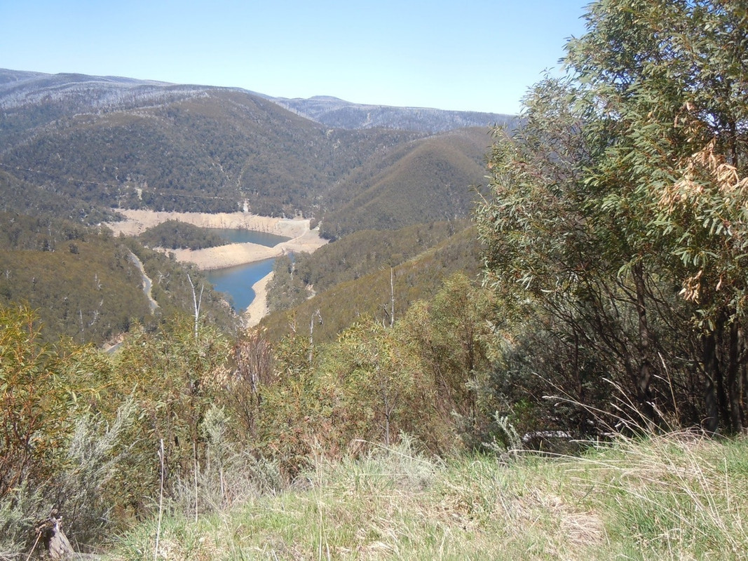
Just past noon I came to the Tumut Pond Reservoir. It’s a beautiful setting: isolated, quiet and buried deep in a valley. The dam walls are amazing, but the dam itself looks awful as there is relatively little water in it. I learned later that it is actually a holding dam. When the spot price of electricity is high, the authority generates power from a dam higher in the system. The water flows into the Tumut Pond. Then, at a time when the spot price of electricity is low, the company buys the cheaper power and pumps the water back up again so they can do it all again.

Winding down the hill to the Tumut Pond Reservoir

The road runs along the top of the dam wall

Looking down the dam wall

Looking back at the reservoir from the other side

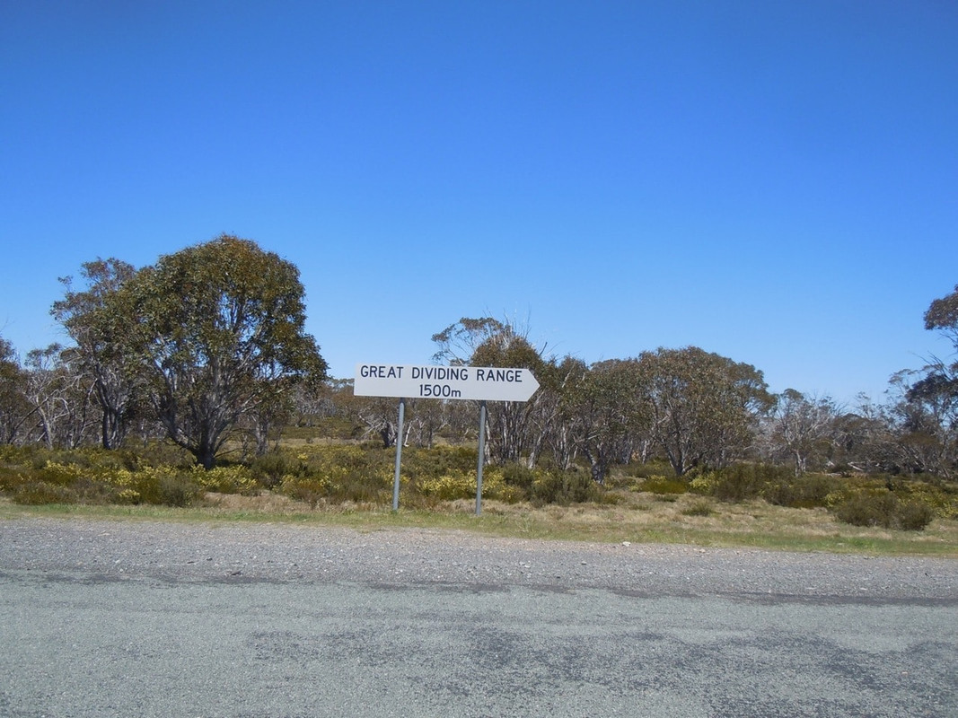
I still can’t work out why this sign has a point on the right hand side. As far as I can figure, I was on the Great Dividing Range at this point and I was at about 1,500 metres too!

I had a late lunch at Adaminiby.

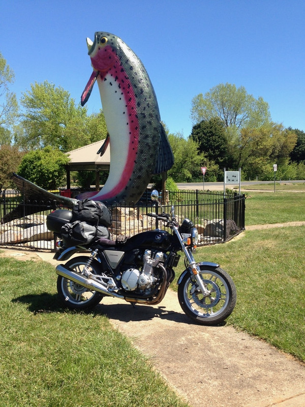
I should digress here to talk briefly about Australia’s obsession with big things. Bill Bryson commented on them in his book about Australia. There’s even an article about it in Wikipedia. ‘Big Things’ are enormous statues or sculptures of relatively ordinary things and are used to celebrate the connection of the thing with the place they are located. There’s the big lobster, the big sheep, the big pineapple, the big banana, the big motorbike, the big this, the big that. The most recent example of this curious phenomenon I’ve read about is in Tamworth New South Wales (which already boasts the Big Guitar) which recently unveiled the Big Big Mac to mark the connection of this agricultural area to the so-called food churned out by Macdonalds.

The Big Big Mac. Why? I ask you?

Adaminiby, a pretty enough town, but a place barely big enough to sustain one let alone two horses, boasts the big trout. I sat across the road and admired it while I ate my sandwich and drank my coffee.

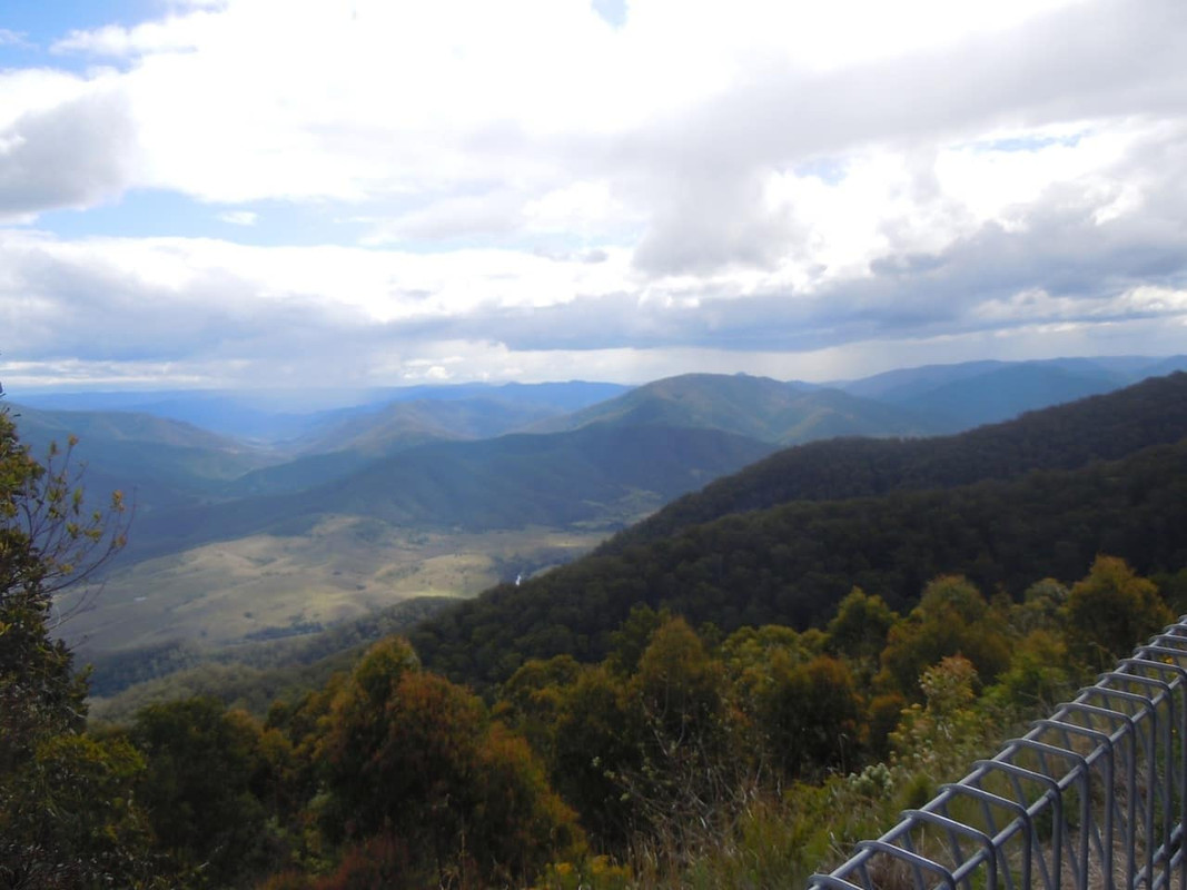
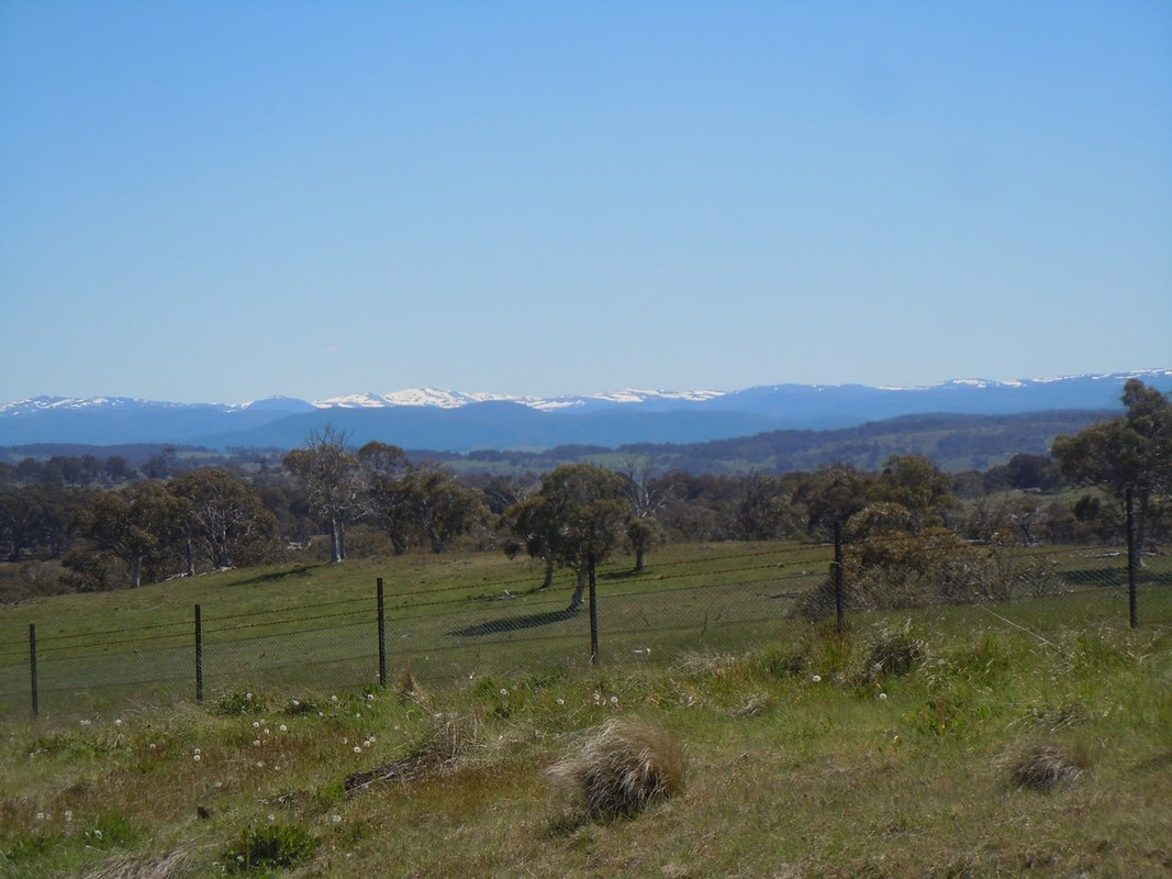
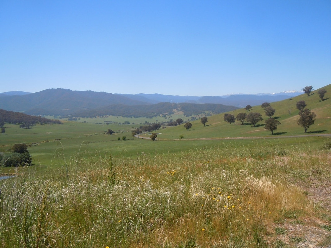
About an hour later, as I headed towards Jindabyne, I had this great view of the Snowy Mountains.

I was staying with friends at their property just south of Jindabyne, but decided to take a quick detour up the Alpine Way out of Jindabyne. It was good road and worth the ride, although I didn’t get quite as far as I wanted before I needed to turn back.

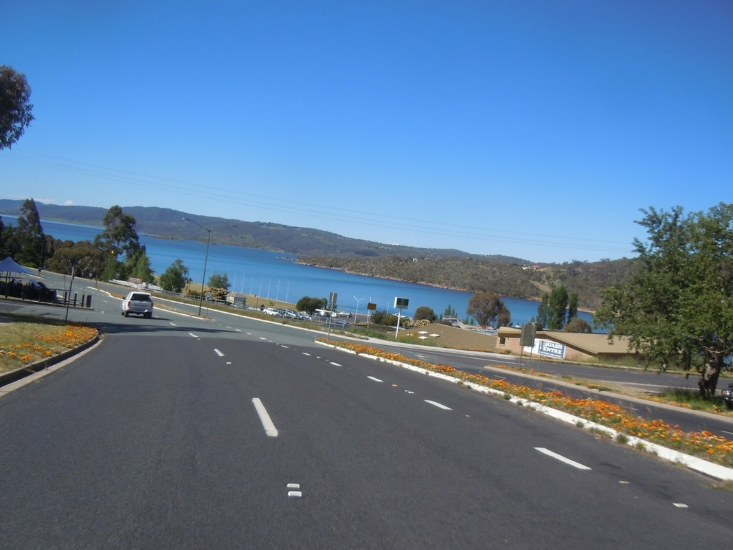
Lake Jindabyne

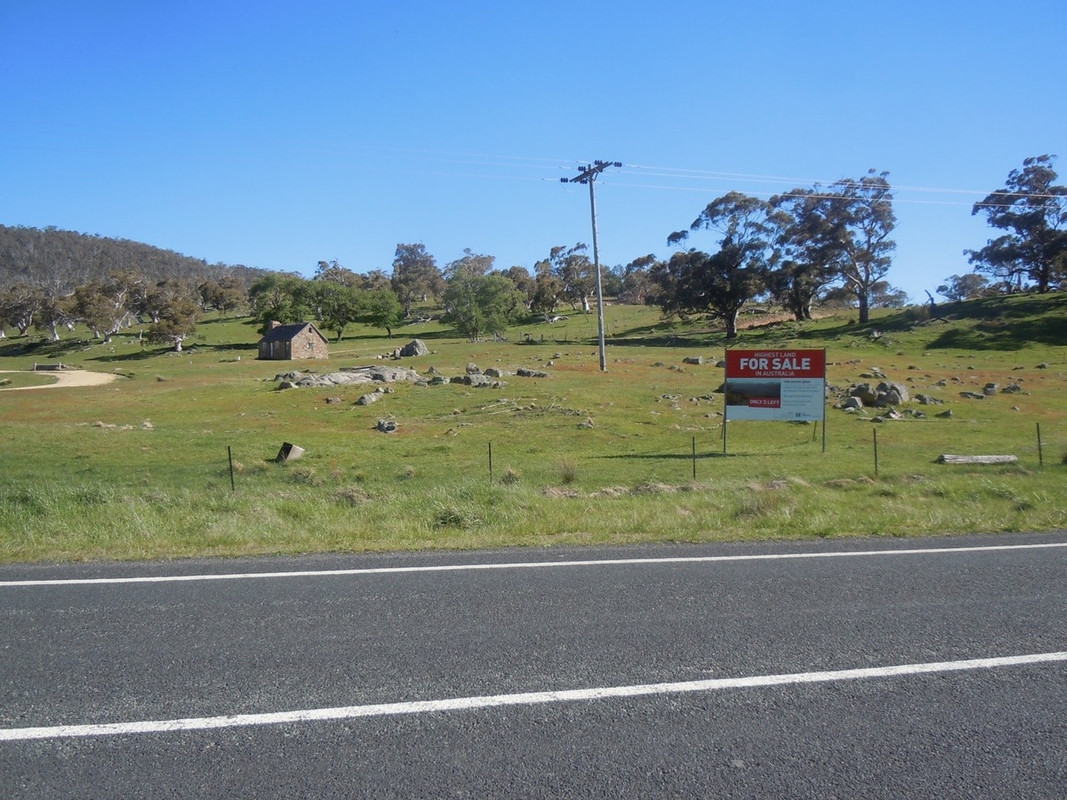
On the Alpine Way. The sign says it’s the highest land for sale in Australia. It looked appealing this day.

I stopped in Jindabyne to acquire some wine to take to my hosts and then found my way south along the Barry Way to 8 kms of dirt at the end of which was my friends’ magnificent home and property.