Guyra to Brisbane
14 May 2019
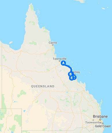
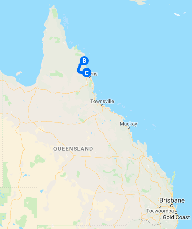
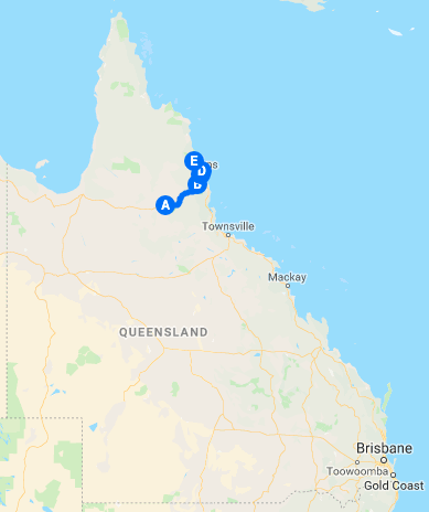
Master Map
Pterodactyl was planning on riding most of the way home and then pausing for the night in order to avoid the worst of the evening traffic in Sydney. For me it was an easy ride home, although vague threats of rain hovered. I was going to be a day or two earlier than planned. GrahamT had said he might come and meet me for a night and the ride home, but faced with possible rain and the cold of New England he found other things to do.
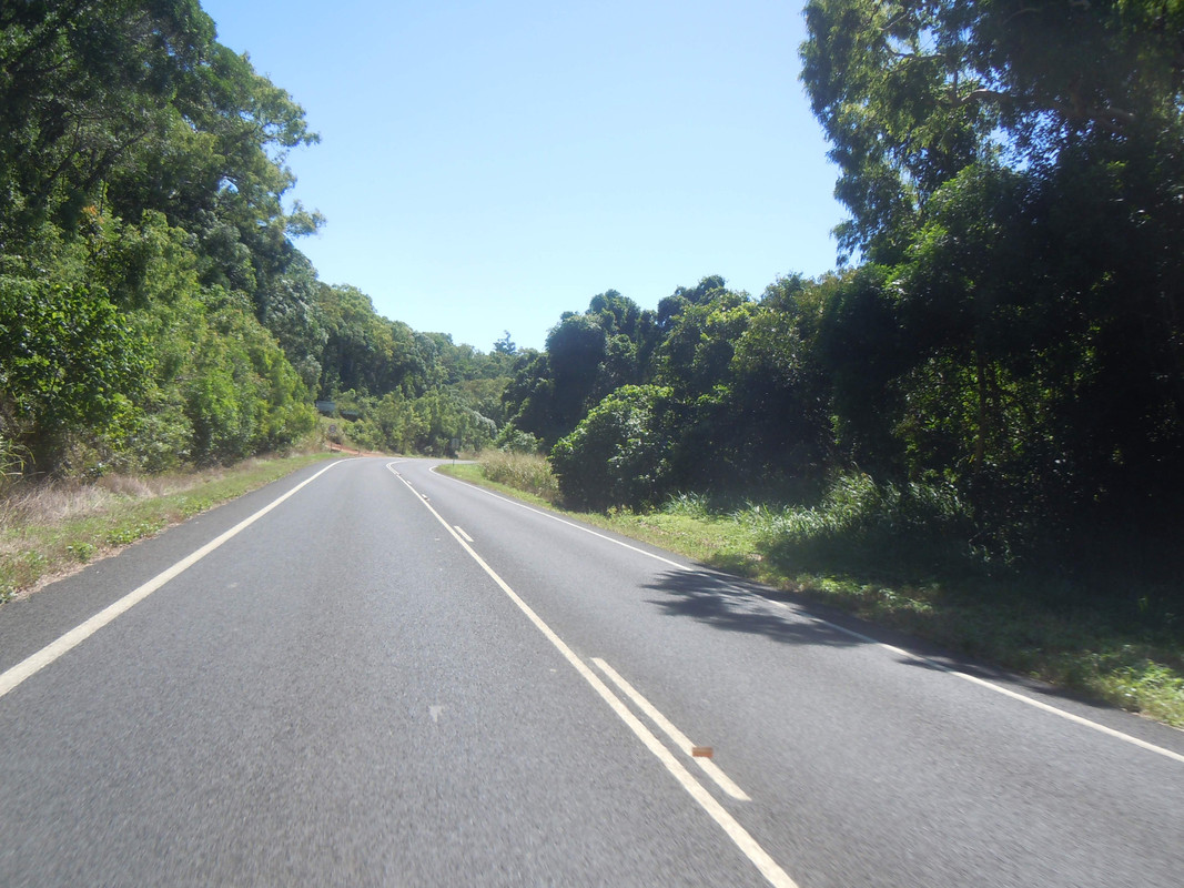
So I rugged up and set off for home. Big, warm gloves means no photos, not that there is a lot to photograph. At some point I stopped and put on full wets as rain threatened, but it came to nothing. I had breakfast at Our Place at Tenterfield, a seriously agreeable café and wine bar. I also had a long conversation with the rider of an ST1300 who did not think the CB was a restored 1970s model. Like my new friend from Eidsvold, he seemed more than a little envious of the ride I was finishing.
At Tenterfield I left the main road and made my way up the Mount Lindsay Road to Legume. There are sections of dirt, but they're relatively short and in good condition. I intended to turn right at Legume and head home via Woodenbong which made international news earlier this year when a local resident wanted to add to Australia's bizarre collection of 'big things' by bestowing — yes, you guessed it — a big wooden bong on the place. Locals were less than impressed.
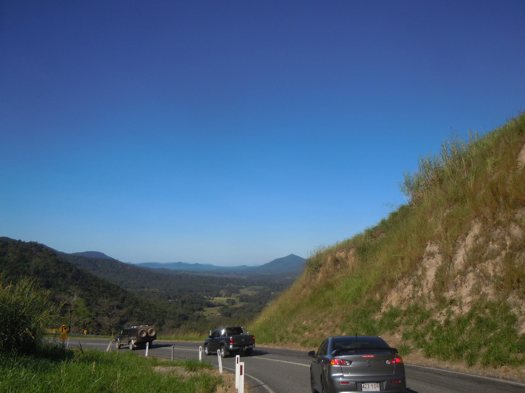
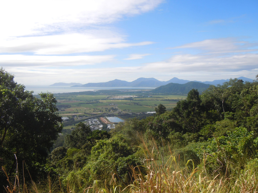
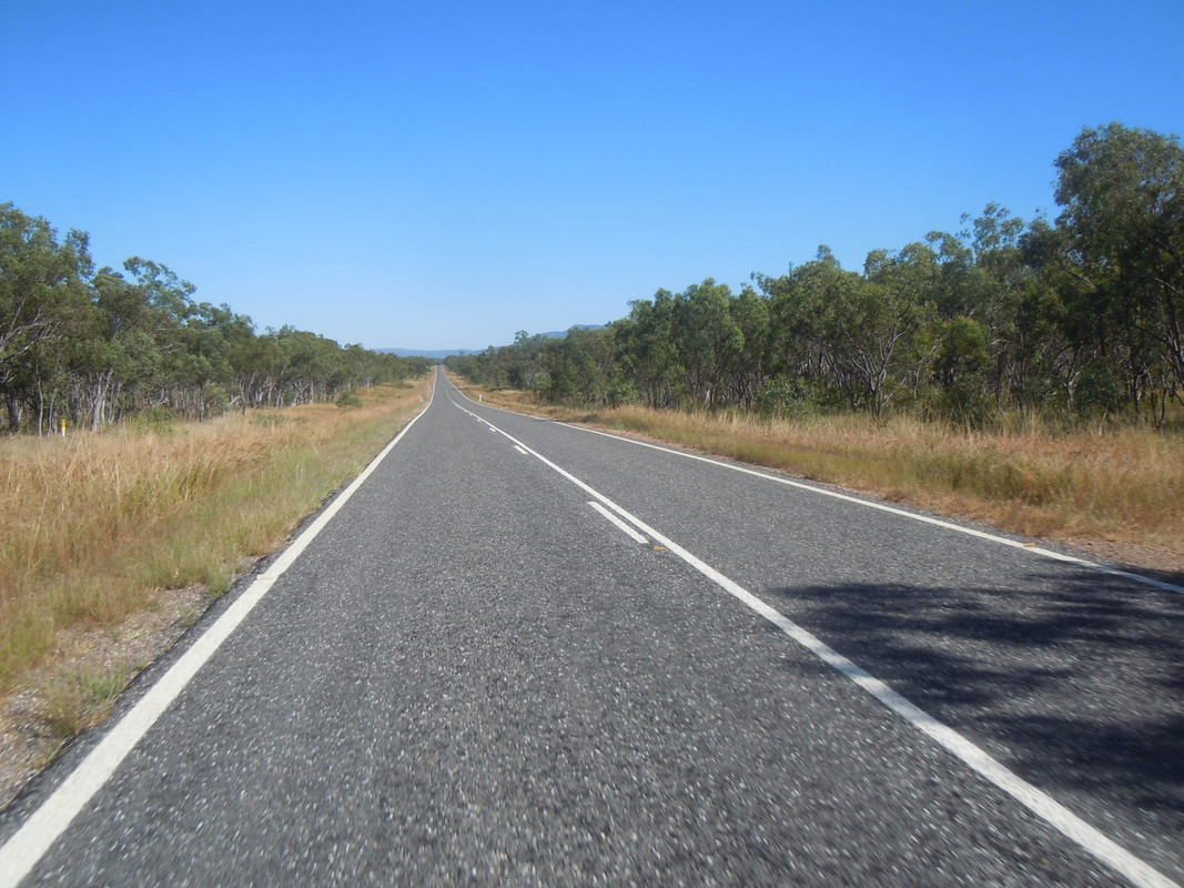
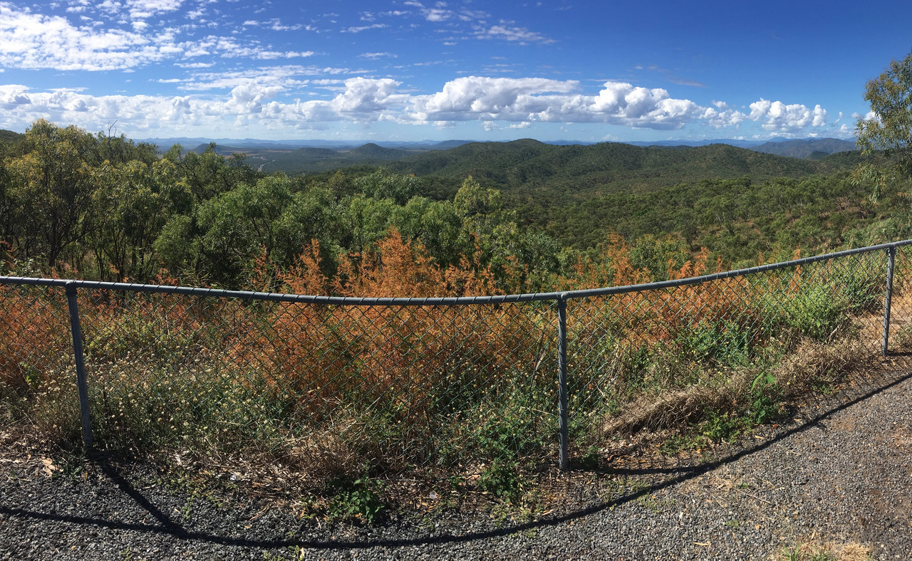
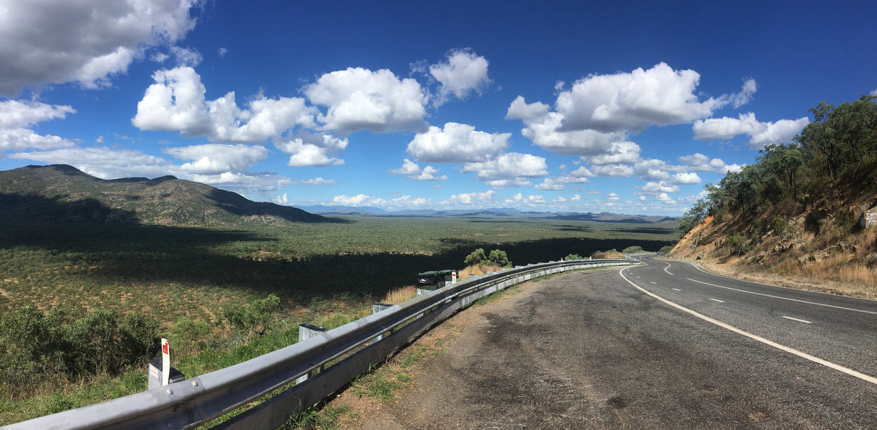
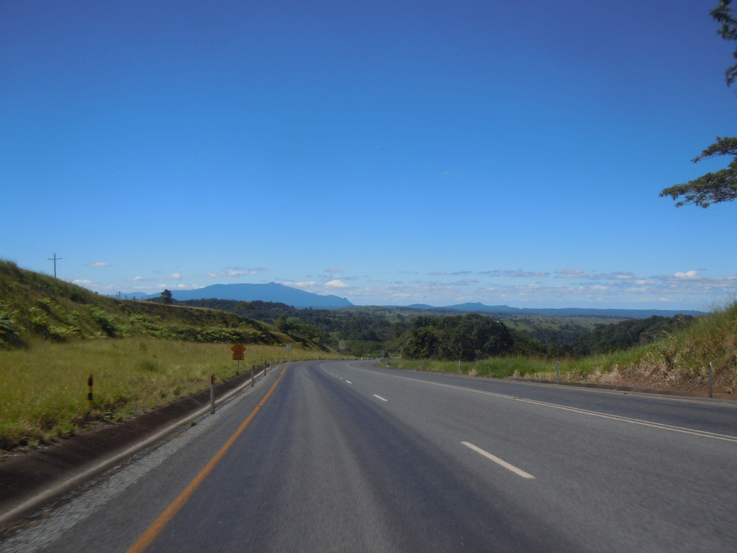
Anyway, as so often happens when I'm riding alone, I changed my mind at Legume and rode home over the Head. There's a great climb on the southern side and a steep descent with spectacular views on the other.
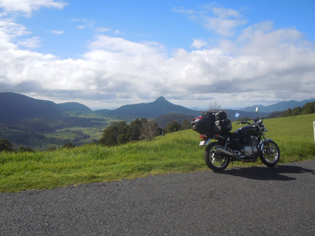
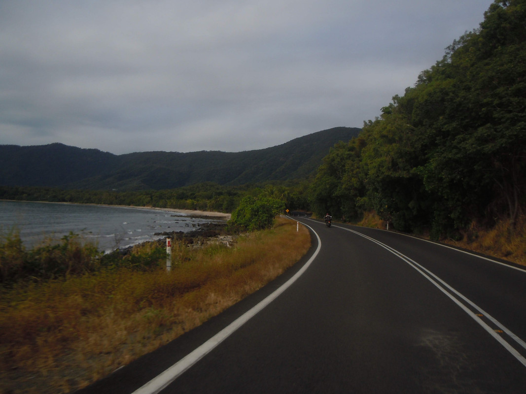
The view north from the Head Road
There's nothing much worth reporting after that. I was home by mid afternoon. Pterodactyl, of course, decided to keep going home (as I would have) and got caught in post-accident traffic to the point that I was beginning to worry slightly about his silence.
It was yet another excellent ride with the ancient bird. Thanks, mate. I'm keen to do again and take some time to poke around more of FNQ.
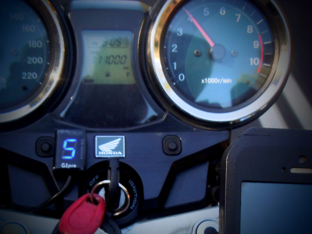
For the statistically minded, the CB covered 5,601 kms and used 294 litres of fuel at an average consumption of 5.12 litres/100 kms. I just know someone will check those numbers and they won't compute. Please don't tell me. I know. It's near enough and has to do with how I record the data.
The K-tel chap won't be back. Don't wait. There's no more.