The Cormanus Chronicles: 2024

A local Brisbane ride

Brisbane - Fernvale - Lowood - Mt Glorious - Brisbane


3 December 2024
2024-12-03-Fernvale-etc

Click on the map for the interactive version

Having spent a morning on some domestic administration and crawling down a few YouTube rabbit holes, I decided to go for a ride. The CB1100 needed some exercise.

It was an unremarkable ride. I went around a loop I ride frequently, although this time in reverse — anti-clockwise as you look at the map. I also rode out through Lowood for a change and, although I didn't end up at Esk via back roads as I intended, I made a stop at the Wivenhoe Dam lookout. The Wivenhoe dam supplies Brisbane with water and also contains a small hydro-electric generator. The water shooting out of the spillway not only powers the dam, but also, I think, keeps the Brisbane River flowing.

After admiring the dam, I rode back over the Brisbane Range — always a treat – and got very hot in badly congested afternoon traffic. It's summer down under.

And that would have been that except for having one of those moments when the English language suddenly made little-to-no sense to me at all.

I stopped for petrol at Fernvale and was delighted to read on the enormous sign that I would be able to drive through* coffee.

Figuring I could easily wash it off the bike, I rode in and things got better: I was going to be able to ride through* coffee AND food.

Alas, it was not to be. All I got was the concrete you see in the last picture.

_________

* I refuse to indulge the awful spelling.

Winter in NSW—05

Day 5: Glen Innes - Brisbane


9 August 2024
Click to link to Google Maps

I’m becoming a wimp in my old age. I awoke early to a cold and foggy morning, decided the slow saturation that accompanies fog which then required another layer of gear was not for me. So I turned over and went back to sleep. Or read. Or something. Anyway, it seemed lighter when I got out of bed around 08:00, so I dressed and had a simple breakfast of cereal and toast (included in the tariff). It was still cold but the fog had gone and the winter sun was shining brightly.

The Gwydir Highway is a favourite. It’s not as curvy as the Oxley, but it’s somehow prettier, with ancient eucalypt forest along the top of the range. Once you reach the bottom of the mountain the run across the plain's more interesting than Long Flat. I stopped in Grafton for a cup of coffee.

The Clarence River at Grafton was remarkably still

From Grafton I retraced my route to Kyogle where I turned right to take a favourite route to Murwillumbah and over the border via the Numinbah Valley. I was comfortably home by late afternoon.

Thanks Pterodactyl for suggesting another great ride.

Winter in NSW—04

Day 4: Nundle - Glen Innes


8 August 2024

Pterodactyl needed to head home, so we parted company just after 09:00 on the road out of Nundle. I headed north to Tamworth, the birthplace of my wife and home to Australia's major country music festival. After refuelling, I headed north towards Manilla not sure about exactly how I would head home. North of Barraba I turned right on to a delightful road which took me northeast in the direction of Inverell. I rode briskly enough through the countryside, although were places where there was no fencing and cattle grazed close to the roadside. At one moment, near a grid of the type that stops cattle and sheep from crossing a line, a cow watched me carefully until it was sure I would collect it if it walked in front of me. Then it walked across the road to find the rest of the herd. It didn't count on the CB's front brakes and I managed to stop in time.

After about 34 kilometres, the road turned to gravel. It was too far to turn back and, anyway, the gravel was firm and I made good time. Just over 15 kilometres later, the seal returned and I allowed myself a small smile.

Fool!

The fun lasted less than 2 kilometres.

The sign filled me with trepidation.

Courtesy Google Maps Street View. Here in Google Maps.

And rightly so, as it turned out. It wasn't too bad to start with — not as good as the earlier gravel, but tolerable. Then I met a water truck and things started to go downhill. The surface became sandier and more slippery. Shortly afterwards I met a grader. I stopped to let it past and then wondered, as the back wheel slid gently towards the edge of the road, whether I'd ever get out again. As there was no way I was going to get across the mound of sand the grader had left uphill from me, I was left with about two feet of road to navigate on. I proceeded in first gear with both feet down for what felt like half a lifetime.

Beyond where the grader had started, I met more a more solid surface. Phew. That section of dirt lasted for just under 10 kilometres and then it was back on the proper stuff.

Fuel and a late lunch in Inverell.

The day was clouding over and cooling. I had no chance of making it comfortably to the coast, so I decided to stay in Glen Innes. It was 67 kilometres — less than an hour — so I decided to take a pretty back road to Guyra that I'd ridden with Pterodactyl in 2019. Of course, I'd forgotten exactly which way we'd gone and got the starting point wrong. Thirteen kilometres later I was staring at more dirt.

Of course it was OK and the nine kilometres passed without incident. It did make me realise the limitations of free GPS apps, though: they have no data on gravel roads. I resolved two things: I don't want to ride on unknown gravel as the condition around the next corner is unpredictable; and I'll take a good paper map with me on future trips to try to plan around excursions on to gravel.

Except for this strange structure at Tingha, the remainder of the trip was uneventful.

I passed a comfortable night at the Great Central Hotel in Glen Innes.

There was one incident. The hotel — like many I stay in — had shared bathroom facilities. Stripping off my riding gear, I wrapped a towel around my waist, grabbed my key, wandered down the hall and showered. Having dried myself, I donned my spectacles, picked up the key and realised it was my key. My key to the bike. Not the room key. There was nothing for it. I marched downstairs, proudly wearing nothing but my towel, and, having checked in all the well-populated rooms, found a quiet back bar where I was given another key to the room by a smiling landlady.

My wife thought it strange that I didn't take my clean clothes with me to the bathroom.

Winter in NSW—03

Day 3: Wauchope - Nundle


7 August 2024

It was a glorious, sunny, but chilly morning as we made our way west out of Wauchope and headed up the Oxley Highway to the New England Plateau. What can I say about it? It's 163 kilometres of well-made and maintained road between Wauchope and Walcha. There's a 44 kilometre section in the middle that boasts not much but corners and very attractive bush. Towards the top, the corners start to open up and become faster with the final 56 or so kilometres being relatively straight and undulating. Of course, on a cool winter's day travelling at 110 kms/hr, that makes it quite cold.

It's almost mandatory to stop at the Ginger's Creek Café and Resort 81 kilometres from Wauchope. It's pretty much the only stop after Long Flat, petrol can mostly be had there and it's a popular meeting place for bikers riding up and down the Oxley. How it stays open, I don't know, but I'm always pleased it does. We stopped there for a bacon and egg roll and coffee, and met a couple of bikers who used it as a turning point after riding up the hill. I guess you would ride up and down lots if you lived nearby: it's a road that would become more fun the better one got to know it.

CB1100s at Gingers Creek Café. In the background is one of the blokes who rides up to Ginger's Creek and then turns around just because he can.

We refuelled the bikes and had a cup of tea at Walcha and I found an entry for the monthly forum photo competition.

The GPS told us the quickest of the routes we wanted to take would take us along something called the Forest Way. We turned off and were met with a well-sealed, pretty country ride that promised a pleasant ride. It was probably about 5 kms in that the seal converted itself to gravel. Nah. We retraced our steps and rode down the pretty Port Stephens cutting into the Dungowan valley.

Our final stop for the day was at the Chaffey Dam where we stood in the sun and admired the mirror-like water.

It was hard to see what was going on at the foot of this structure near the dam wall. As the next picture shows — I think — it's the outlet for when the dam is full.

Sixteen kilometres later we were at the Peel Inn at Nundle.

Winter in NSW—02

Day 2: Wauchope - South West Rocks - Wauchope


6 August 2024

Rain was in the forecast, so we decided to defer riding up the Great Dividing Range on the Oxley Highway until the following day. Cold and wet would limit the entertainment value. Instead we decided to visit a road I drove in a car a year before which would take us to South West Rocks which has a place in Pterodactyl's past.

Because we couldn't find a sealed road from nearby Port Macquarie to Crescent Head, we took the freeway north to South Kempsey — notable for an extensive police presence of speed traps and mid-morning random breath tests — before turning off for the coast.

CBs at Crescent Head

We had breakfast and coffee in the sun at the Point Break Café on the foreshore. We sat and watched the surfers who refused to be stopped by a cold wind blowing up from the Antarctic. Around the corner, pelicans patrolled the creek.

After breakfast, we set off north along the very pretty road that runs most of the way along the Belmore and Macleay Rivers. It's quiet, flat, quick and its proximity to the river makes sure there are plenty of corners.

Pterodactyl didn't much like South West Rocks, saying it was more like a city than when he was a frequent visitor. Trial Bay, to the east, is very pretty and we took a walk along the foreshore where we watched whales leaping not far out to sea.

Not a whale to be seen when I pressed the shutter release

We retraced our steps, stopping for a sandwich in Gladstone, and making it back to Wauchope before it got too chilly.

Winter in NSW—01

Day 1: Brisbane to Wauchope


5 August 2024

I rode to Wauchope to meet Pterodactyl. Why? Because it's near enough to halfway between Sydney and Brisbane; sits near the eastern end of the Oxley Highway, reckoned by some to be the best motorcycle road in Australia; and hosts the Wauchope Motel, a friendly and pleasant place to stay. My route took me along many a road oft travelled, so I won't repeat myself describing them.

The one exception — early in the day, on the Lions Road — was to set a precedent for other days on this ride. Signs warned the road was closed to heavy vehicles due to a bridge repair, but I thought little of it as it was clear that the CB was included in the class of vehicle that could pass. As I approached Simes Rd, I was warned of the detour which took me east on an OK gravel road. It climbed a bit and then descended again and, after a while, I began to wonder not only where I'd return to the highway, but also whether the gravel would ever end.

In the end, near the junction with Collins Creek Road, the road was again covered in glorious bitumen and I enjoyed a fast and pleasant run on a largely deserted country road to Wiangaree.

There I rejoined the Summerland Way and made my way along back roads to Coffs Harbour via Grafton. At that point I joined the freeway for the final run to Wauchope.

Forty five kilometres north of Wauchope, the CB1100 passed another milestone.

I was unpacking the bike when I heard the growl of the Pterodactyl's Staintune.

Remembering Jake & Elwood-12

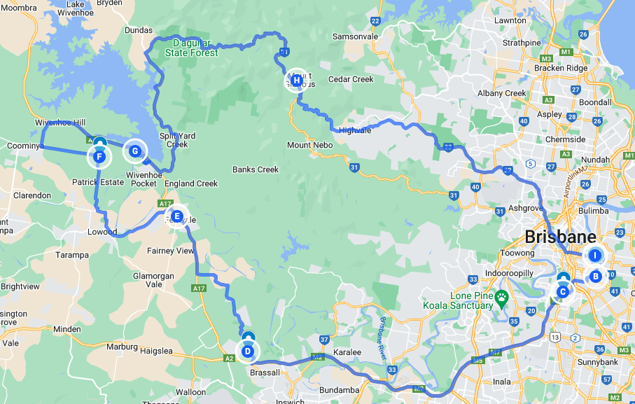
Day 12: Coonamble to Brisbane


17 February 2024

Master Map

Lightning Ridge is a remote opal mining town. It's definitely in the Outback. The website says so even if pdedse's map says it isn't. I've always wanted to go there and it was pretty close to Coonamble and, at a pinch, on the way home. My wife encouraged me to take the opportunity.

That shadowy bastard's back!

Flat and straight. Big sky.

Welcome to Fairlands

Walgett water tower in honour of Jimmy Little, an indigenous Australian musician.

What can you say?

Aside from having recently turned off the main road, I could tell I was approaching Lightning Ridge from the piles of mullock by the road.

By 09:45 I was in Lightning Ridge, had filled up with petrol and was enjoying a cup of coffee and something to eat. It's an interesting place. Rusty cars, trucks and bits of machinery, piles of mullock and roadside signs offering to buy opals abound. There's a hardscrabble feel to the place; houses are small and many need care. Covid and the current difficult economic circumstances may have hit it hard.

More metal art

I had a poke around, discovered that the Gecko's family has a culinary outpost there (it was closed) and moved on.

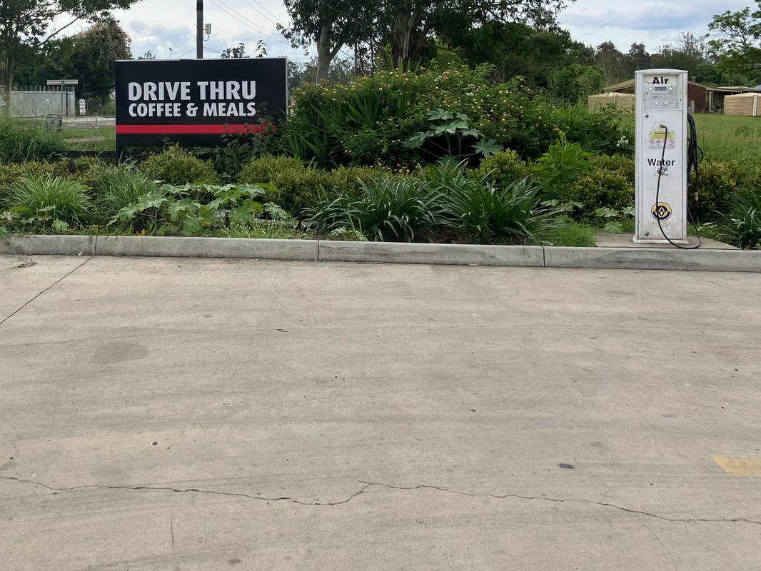
Lightning Ridge real estate

A statue of Charlie Nettleton who founded the black opal business at Lightning Ridge.

Amigo's Castle is a curious tourist attraction in Lightning Ridge. Built by one man, brick by brick over 20 years, it was closed when I arrived. And when I left too.

This much water is a happy sight out here.

Shortly before crossing the border. Not much leaning going on.

I crossed the border at Hebel, wound the clock back an hour, ticked Dirranbandi off my list of places to go and proceeded to St George where I needed fuel and lunch.

If I've told this story about Queensland and clocks going back before, I apologise.

Queensland has always refused to adopt daylight saving. It is also regarded by the inhabitants of other Australian states as somewhat reactionary, redneck and behind the times. That's mostly because of the state premier of the 1970s and 1980s who held office thanks to a huge gerrymander and thrived on celebrating the state's difference. He was deposed and his party lost office in 1989 after a corruption scandal.

The premier who succeeded him in office once hosted a retired Prime Minister from the 1970s who is alleged to have said, "I enjoy coming to Queensland now. I only have to put my watch back an hour not a whole generation."

The spots in foreground are emus. Seldom seen in the wild by us city dwellers.

Somewhere before Dirrinbandi I came across a sign telling me there was water over the road ahead. Eventually I found it and took this photo which is so over-exposed as to be useless.

Luckily I slowed to take the picture and to have a good look before trying to cross. Why, I hear you ask, would I include the picture? Well, as I was slowing and snapping, a road train came around the corner ahead of me and the world lit up like being near a flash of lightning on a dark night. What you see in the photo is what it looked like. Sort of. The driver had flashed his lights at me. Kind, I thought, he's warning me of a Roller ahead.

Then the truck hit the water. It was probably travelling at 110 kph. Had I been next to him I would have been blasted off the road by the wall of water he threw out. Roller indeed. He was warning me to stop.

(If the term 'Roller' makes no sense, see this post) or watch the Blues Brothers.

Saint George is a pretty enough town, although I'm sure the general ambience was enhanced by the large quantities of rain that have fallen. There was good water in the Balonne River and I sat beside it to eat my lunch.

I stopped for fuel and cold water at Moonie, slightly weary from a reasonably long day and battling a head wind. Two women on Ducatis, who had passed me earlier making excellent speed, asked where I was heading. I said Brisbane. One told me earnestly it was too far away. I said I'd stop if I needed to.

Shortly after leaving Moonie, I turned off onto the Cecil Plains Road which proved more entertaining than the relatively straight roads I'd been on since Lightning Ridge. The scenery was different, there were more corners and some interesting short, sharp undulations. Some of the troughs had a light covering of water.

By the end, near Toowoomba, it again became flat and straight. My attempt to photograph a long line of telegraph poles that looked like they'd been deliberately erected a crazy angles failed, so I've nothing much to show.

There's one telegraph pole at a strange angle in this picture, but of more interest was the storm cloud which, mercifully, was not travelling towards me. The shadowy bastard is still there!

I filled up at Charlton at the top of the Toowoomba by-pass and was home by 19:30. It was dark for the final kilometres which I enjoyed, although I need to adjust the height of the headlight.

I think I was on the road for about 13 hours. I know I rode 946 kilometres for the day. There's something to be said for relatively straight, flat country roads in good condition.

Gee it was good to be back in the saddle giving the odometer a workout.

The band? It didn't do so well. It was great to see the guys again, though. And to ride with them, at least for a bit.

Remembering Jake & Elwood-11

Day 11: Blayney to Coonamble


16 February 2024

Master Map

Of course I'd intended to get going early and of course I didn't. I recalled that the son of old friends lived in Orange, just up the road and a place I'd never visited. It was a work day, so I sent a message to ask whether he had the sort of job that would allow him to slope off for a cup of coffee. He did, so I saddled up, rode to Orange, and passed a pleasant hour or so talking bikes and life with an agreeable young man.

Pretty old country railway station, Millthorpe, NSW.

I don't share the generally dismal view of younger generations. Sure, there are shabby, disagreeable layabout youths, but there were when I was young too. Just ask my parents. I find many young people who are whip smart, work hard and, if given half a chance, would do a great deal of good for the world.

My plan after coffee was to ride north-west to Wellington and then retrace the route I took on the ill-fêted day in February 2020 when the CB slid gracelessly out from underneath me. (See here).

Roadside artwork north of Orange

Of course it didn't work. I had a quick lunch in Wellington and headed off only to discover the road I needed to take was closed. All alternatives seemed to be dirt. What do you do? Keep going, of course and try to figure out a plan. And, I suppose, be grateful I'll never find out whether the Gap Road would do for me again.

Striking clouds north of Orange

By the time I'd got to Dubbo, I'd decided to try to get to Narrabri for the night. Pterodactyl and I have stayed there a couple of times, and there's a good road over the hills to Bingara which would take me home via Texas. I decided to go via Piliga around the back of the Warrumbungle National Park.

I thought this would take me over the putative boundary of the Outback. pdedse has since enlightened me. It looked a lot like the Outback: hot and flat. Will that do?

I've always liked old, brick chimneys. This specimen was on the way through Gilgandra, my last fuel stop before Coonamble.

Gulargambone had any number of images of birds on poles.

An example of making old concrete silos more attractive. It's happening all over Australia and likely in other parts of the world.

Half an hour later in Coonamble, I stopped to refuel and realised I'd had enough for the day. There was a motel directly across the road with a vacant room. Serendipity, or what?