Day 1: Brisbane to Grafton
9 January 2025

Click on this map and be taken to an interactive map of the first part of the trip
I can't remember exactly what time it was that I pulled into Grafton. Sometime in the late afternoon. I recall being annoyed by my wet weather onesie again failing to be properly waterproof. I also recall calculating what time I was likely to get to Ebor, always assuming there would be somewhere to stay; and quickly deciding rest would be better than risking encounters with kangaroos.
I know it's early in proceedings, but I can't help a quick digression about the bloody onesie. I bought it in Tamworth on a morning after my two-piece wet weather gear had been shredded when I came off the bike. There's more on that in the discussion on day 2. Back to the onesie. You'd think it would be great: a single garment, lots of flouro bits to make you visible in less than perfect conditions, and less gaps and joins and cracks for water to seep in.
But it isn't. It's a bastard of a thing. It's hard to get on over boots and jacket. It's equally annoying to take it off. If you aren't careful with the seal over the zipper that runs from neck to the upper left leg water will seep through and collect somewhere until it overflows into your crotch, always at a moment when you could well do without such a distraction. It's often pretty hot where I ride and leaving a waterproof on when the rain's gone and the sun comes out results in being quietly baked. If you undo the zip at the neck — even just a tiny bit — to let some air in, it's like throwing out a parachute.
In summary, and being fair to it, even though it keeps the water out well in the unlikely event that I get the zip cover right, I hate it.
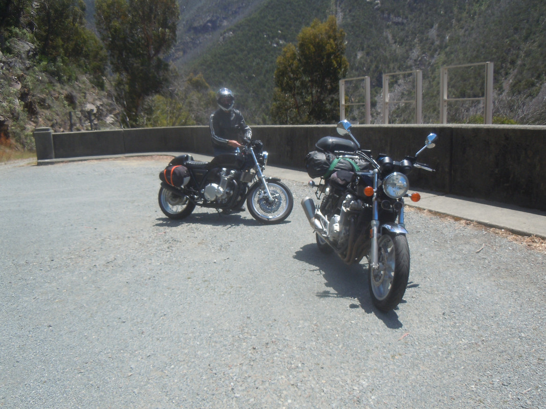
I was on my way to meet AussieFlyer for yet another crack at a multi-day ride on some of the more appealing roads in his neck of the woods. A couple of other attempts at this venture have not worked out — the last one because his rear shocker popped a seal. This time he assured me the bike was in tip-top shape.
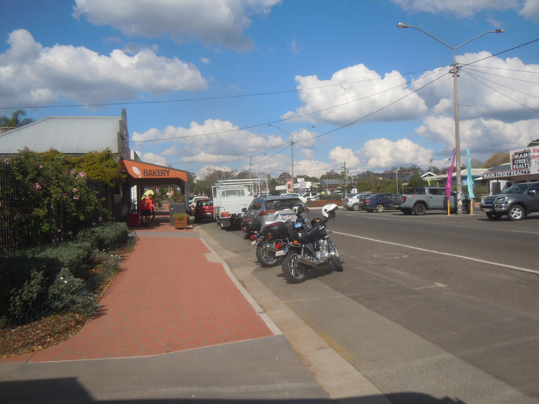
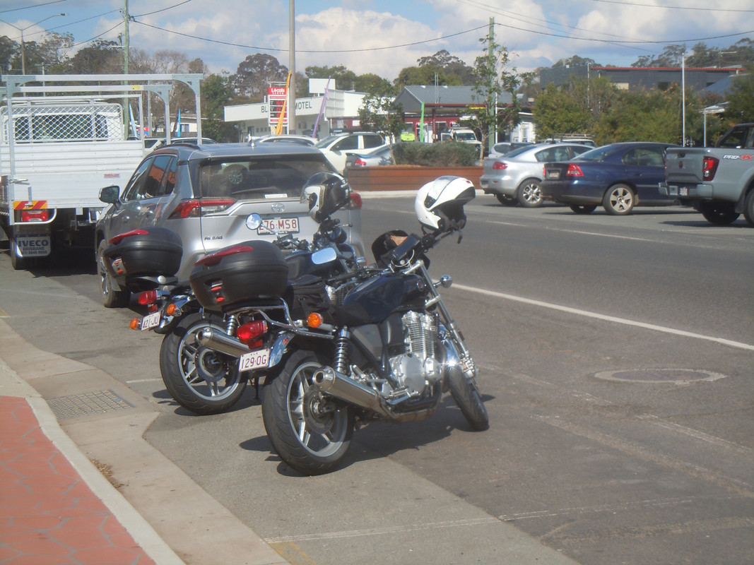
Even though I'd got away earlier that I'd hoped, it had taken me longer than I'd wanted to get to Grafton. Mostly because I'd stopped to sit out a shower of rain at Tamrookum. The rain caught up with me again later and I was still in wets when I got to Grafton. I found a motel — noting that the prices had risen sharply since I was last there — checked in remotely, spread my gear all over the room to dry and went in search of dinner.
I had a reasonable meal at the Fitzroy Bar and Grill in the Grafton Hotel.

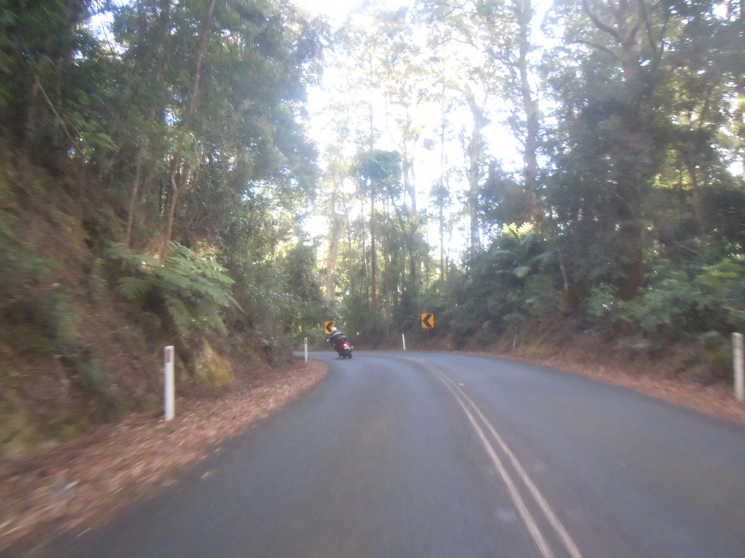
That black area to the left is where I was heading

I stopped here to put on The Onesie
Day 2: Grafton to Mudgee
10 January 2025

Click on this map and be taken to an interactive map of the first part of the trip
If the forecast were to be believed, there was rain ahead. Showers may or may not happen and where and when would be determined in the moment. So, with uncharacteristic optimism, I set off into the morning without putting on my wets.
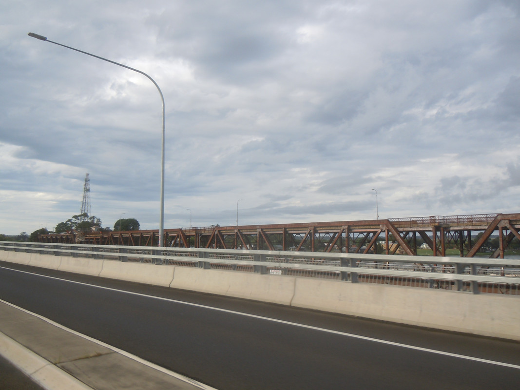
First up was a ride over the relatively new Grafton Bridge. It augmented a wonderful old iron bridge over which cars passed on the top level and trains on the lower level. It had a slight bend in it and there is machinery allowing it to open. Heaven knows when it was last opened. You can see the top level in this photo. Just.
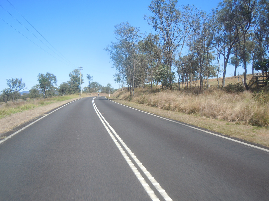
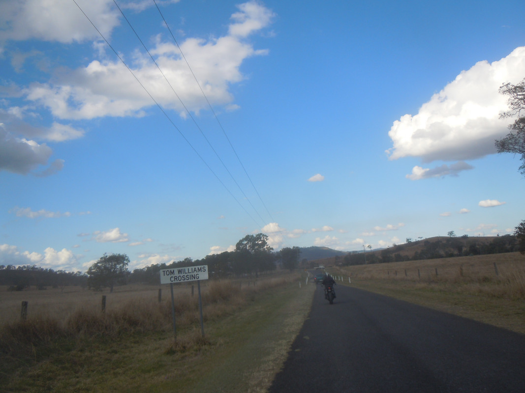
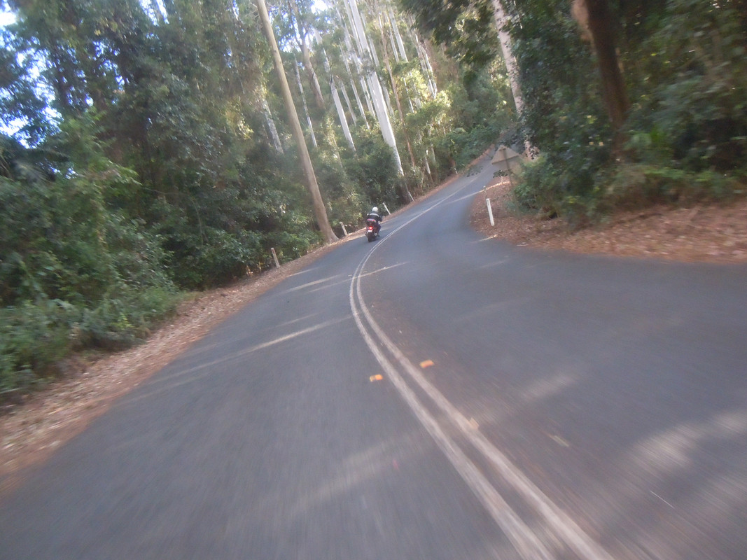
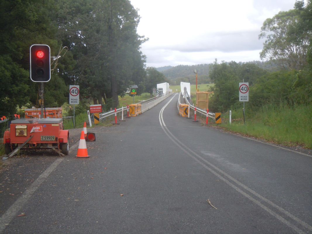
The other side of the bridge leads quickly to the start of a favourite ride: the Grafton to Armidale Road. The first bit is a good, quick ride from Grafton to Coutts Crossing and thence to Nymboida where the bridge is being repaired.
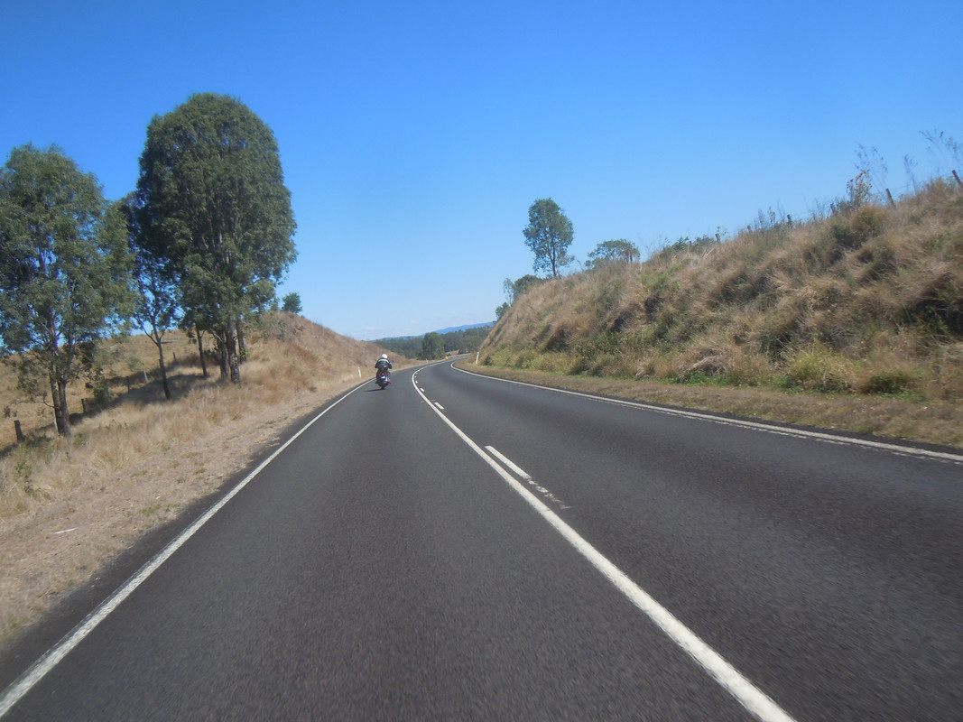
The road veers to the right immediately after this bridge and from there on it's a gentle climb twisting through attractive Australian bush and some farmland. A good deal of it was badly burned in fires in late 2019 / early 2020 and is now happily regrowing. An old wooden bridge damaged in the same fires has been replaced. There are photos of the aftermath of the fire in this post. A reasonable surface — excellent in parts — combined with not a lot of traffic mean ample opportunity to practice going up and down hills, changing gears and turning corners of varying degrees of sharpness. The most demanding bit of the road comes to an end shortly after Tyringham. At about the point, drops of rain appeared on my visor and I stopped at the Hernani Public School. It was holiday time so I was spared the indignity of being laughed at by children as I struggled with the dreaded onesie.
For some reason, lanyard cam disappeared into my top box at about this point in the day and didn't come out again.
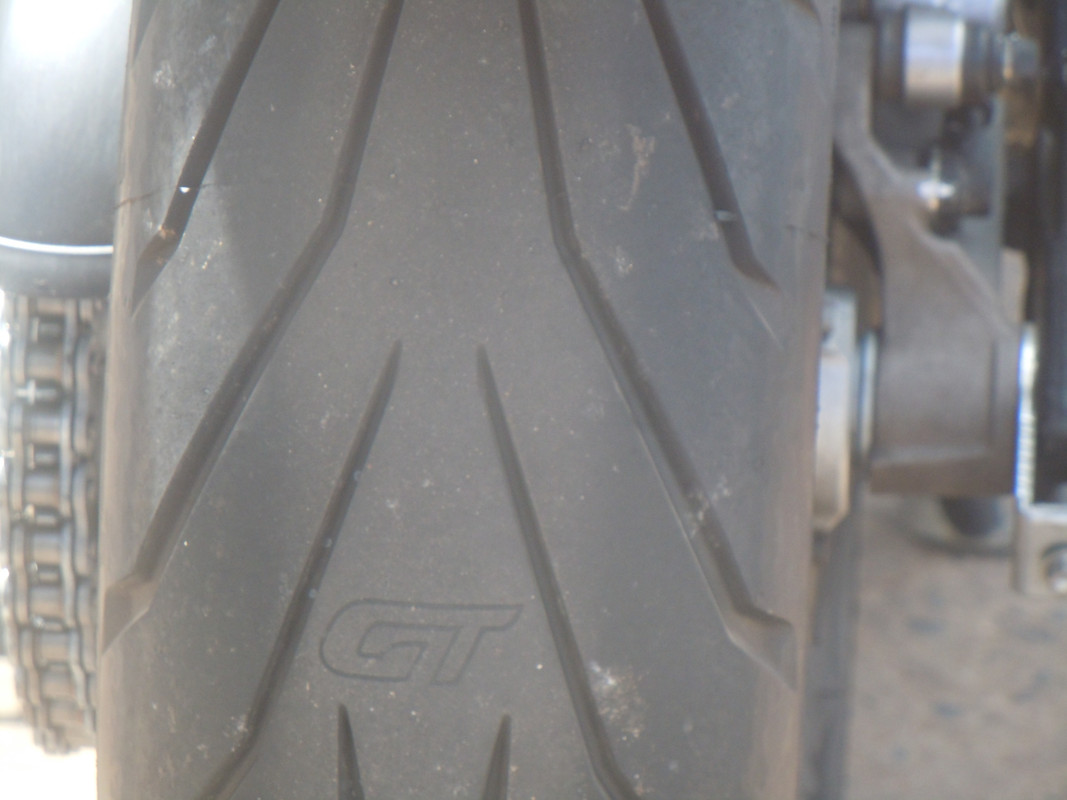
I stopped in Uralla for coffee. Off came the onesie. After that I rode along the New England Highway to Tamworth which was busily preparing for Australia's major country and western music festival. I skirted around it, stupidly, blindly following the GPS which took me on a route which involved Burgmanns Lane and dirt. I wasn't too concerned about it as I knew roughly where I was, where I was going and that it would therefore not be for long. However, there was a floodway as the road crossed Goonoo Goonoo Creek and it was covered by a shallow flow of water. Slowing down I rode through it only to feel the back wheel slide under me as I reached the other side. Happily the new Angel GT rear tyre I'd fitted a couple of days before leaving seized hold of the dry concrete and all was well.
At this point a word on Goonoo Goonoo. Aside from it being a creek, it's also a suberb of Tamworth. What I find curious about it is that it's pronounced "Gunny Gunoo" not Goo-noo Goo-noo.
Shortly after this, Burgmanns Lane crossed the New England Highway and I stopped again to peel off a layer or two.
Altogther cooler, I set off to stare down a demon.
In 2020, riding home from Tasmania, on a wet day that was no fun for a rider but manna from heaven for the locals, I rounded a corner, met an ocean of black, slimy mud and fell off the bike. See here. When I was last vaguely in the area I wanted to revisit the spot, but the road that would most easily get me there was closed so I took another route altogether. This time there was no excuse and, although I approached the spot from the opposite direction, I proceeded around the corner with great care. No mud, the road was dry and I was soon past.
I don't remember that there was anything eventful on the rest of the day's ride. At the end of it, I found myself a room at the Fedeeral Hotel. They didn't offer food and so I enjoyed a pleasant enough walk to The Oriental Hotel that did. I had an OK pizza, conferred with AussieFlyer about where we might meet the next day and went to sleep.
Day 3: Mudgee to Boorowa
11 January 2025

Click on this map and be taken to an interactive map of the first part of the trip
Is it funny or depressing how quickly one's memory fades; I'm not sure. Anyway, I remember it was cool enough to warrant layers and heavy gloves as I set out for Boorowa where I was to meet AussieFlyer. I rode the main highway to Bathurst.

The cloud to the right looked ominous, but it turned out not to be a problem

Lake Windamere south of Mudgee
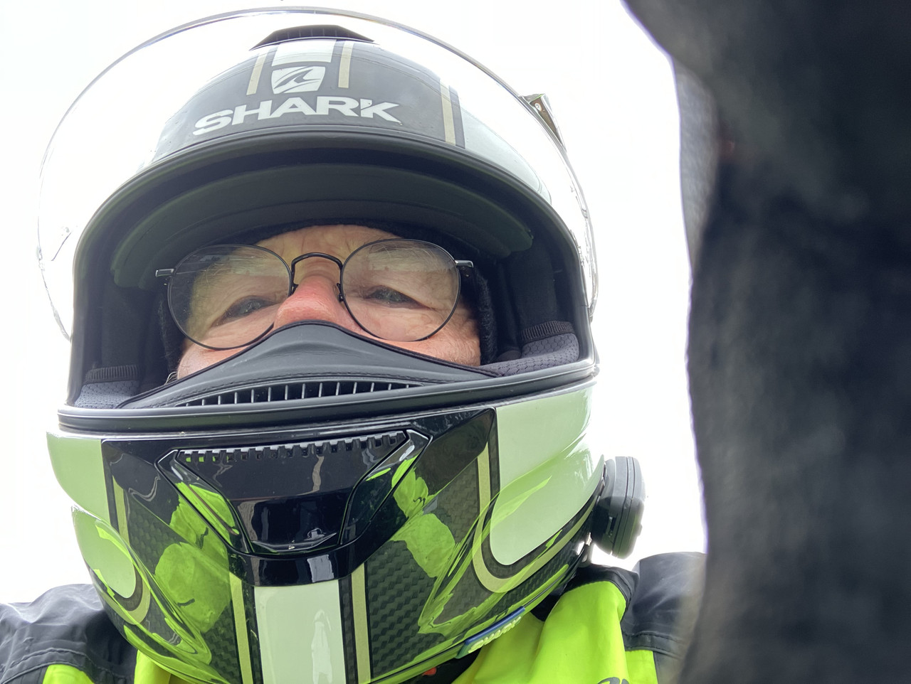
Lanyard cam is a wonderful thing, but it's not always easy to operate when wearing heavier gloves to keep out the cold. Here's an example of the sort of photo I can easily take when fumbling it into position.
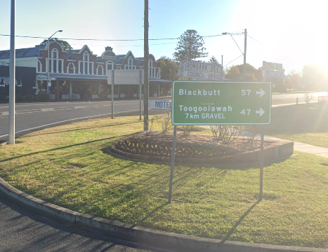
At Blayney I stopped for petrol, coffee and a mediocre croissant. I then decided to trust the GPS and take a different route to the Wyalarong Dam. Yet another dumb mistake as, having had to stop and don the onesie, for a brief but unfriendly shower, I ended up on yet another dirt road. Mercifully, it was not unreasonably long and quite soon I joined the Reg Hailstone Way for the final and best bit of it.

A glimpse of the blue sky that was to make it very hot indeed after the shower
By the time I arrived at Wyaralong, the sun was doing it's thing and I was stinking hot inside my wets. So, feeling a little like a slow-change artist, I stopped and took them off.
Then it was on to Boorowa where I was due to meet AussieFlyer. There was no sign of him, so I stopped at the local bakery for coffee and a meat pie before deciding to ride on and meet him on the way. I made it to Jugiong where I refuelled and trundled back to the pub where he was enjoying a beer. Of course, it was purely selfish on my part to ride to meet him as I've always really enjoyed the road from Harden to Jugiong. It undulates gently, has fast, well-cambered corners and not a lot of traffic. It's a delight for a quick ride. I then got to ride it the other way and introduce it to AussieFlyer. We overnighted at the Boorowa Hotel, on old favourite on rides down south.
Day 4: Boorowa – Bathurst – Tarana – Oberon – Boorowa
12 January 2025

Click on this map and be taken to an interactive map of the first part of the trip
There was rain forecast for later that day and, as it was more likely to fall in the east which was where we hoped to go, we opted for a day of local riding — going where the rain wasn't and hoping to dodge or outrun it.
Nah.
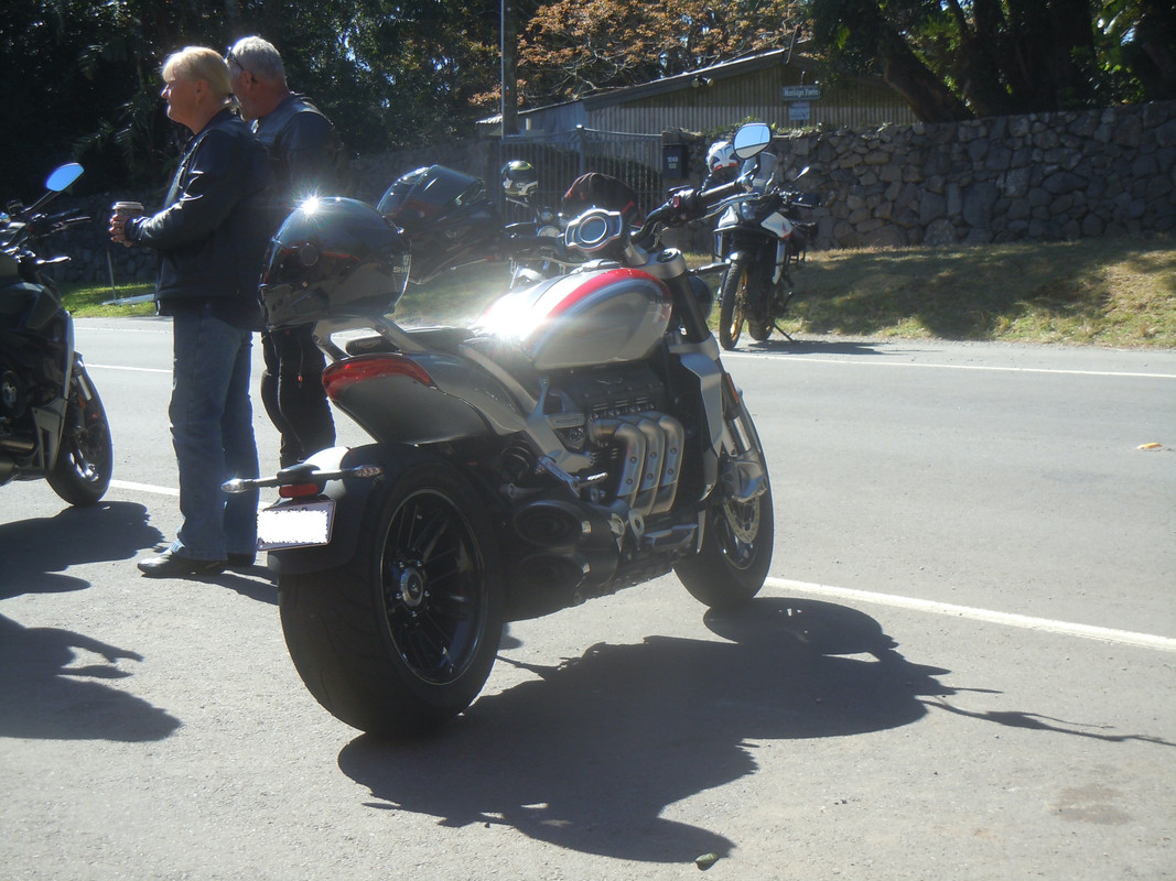
We had a lovely ride, retracing my steps to Wyaralong but then sticking to the Reg Hailstone Way until Woodstock and the Great Western Highway. That landed us in Blayney where we took coffee and contemplated our next move.

AussieFlyer astern leaving Boorowa
AussieFlyer decided it would be fun to ride the Mount Panorama motor racing circuit at Bathurst — see here for my ride around it in 2020. It was fun, although I forgot to take more photos to improve on my not-so-good pictures from the previous trip.

Zooming in should reveal the white stones spelling "Mount Panorama" at the top of the racing circuit
We then proceeded to the Tarana Hotel along a pretty country road I've not been on for some years. There's a couple of pretty railway bridges including the one below.
After Tarana there were no more photos: the weather started to close in. We ran quickly along the pretty Hazelgrove Road to Oberon where we refuelled. Fortunately, it was Sunday so we were able to park our bikes on the footpath under an awning to avoid a rapidly approaching storm. We enjoyed the display of lightning from under cover in the café next door. It passed, but it was clear more was coming, so we donned our wets and took the main road to Bathurst, Cowra and back to the Boorowa Hotel. Just south of Bathurst we got a serious drenching and met more showers as we arrived at Boorowa.
Day 5: Boorowa to Walwa
13 January 2025

Click on this map and be taken to an interactive map of the first part of the trip
The forecast said rain was likely in the eastern part of where we wanted to ride, so I planned a day that I hoped would avoid the worst of it. As it turned out, we avoided it all and got very hot.

Leaving Boorowa in a different direction
When we stopped at Tumut for coffee and fuel, AussieFlyer told me how much he'd enjoyed the Harden to Jingelic Road. I was pleased as I didn't think he'd quite shared my enthusiasm when we'd ridden it two days earlier. It's a great road, I think: no really tight corners; just sweepers combined with a gentle undulation.

AussieFlyer leads the way into the hills
From Tumut we took the Snowy Mountains Highway east. It climbs — occasionally quite steeply — up on to a plateau. It's a fun ride and it was a glorious day. The Snowy Mountains is the highest part of continental Australia. It's not tall by the standards of the rest of the world; nor is it spectacular in the way of, say, part of the Rocky Mountains. As I rode along I pondered how the area came also to be known as the Australian Alps. The word 'alp' conjure images in my mind at least of jagged, snow-capped mountains, rocky and unvegetated This place, while pretty enough is none of those things. It's not even snowy for much of the year.
I concluded there were two likely stories. In the first, some pompous English colonist came to the high country and decided that, because there was a mountain higher than anything found in the United Kingdom, he (and it was surely a he) would call them the Australian Alps. Done.
In the second, the same pompous ass asks the advice of his subordinates on the proper nomenclature for the area. One says flippantly, 'It must surely be the Australian Alps, sir' and is gobsmacked when the humourless clown writes on his embryonic map, 'Australian Alps'.

We stopped for a stretch and a look at Black Perry lookout. It's a lovely view, but they're not really alps, are they?
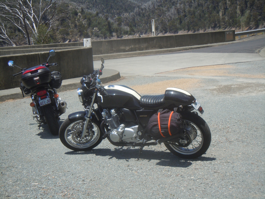
We turned off on to the Link Road near Kiandra and made our way to the turn-off to Cabramurra. Deciding there was nothing worth stopping for, we proceeded along the lovely Snowy Ridge Road and down to the Tumut Pond Dam, part of the Snowy Mountains Hydro-electric Scheme.
After photo opportunities, we followed the road for 70 kilometres or so to Corryong where we stopped for cold water and a break. It was very hot by then and the break was welcome. AussieFlyer had an interesting conversation with a bloke from Malta touring on a Harley Davidson.
We refuelled and rode another 70-odd kilometres to the Walwa Hotel, another favourite watering hole on my journeys to the south. More welcome cold drinks and dinner brought another day's riding to an end.
Day 6: Walwa to Bright
14 January 2025

Click on this map and be taken to an interactive map of the first part of the trip
Pterodactyl, Noroomtomove and I first rode with AussieFlyer in 2018. The trip was cut short for some reason I can no longer call to mind. But we rode the Omeo Highway in Victoria — once ridden not forgotten. It was time to ride it again. The bonus this morning was the warm-up ride: 60 kilometres alongside the Murray River and the Hume Weir followed by the Granya Gap, a pretty, 17-kilometre, curvaceous stretch of road between Granya and Bullio. Well worth the price of admission.

Then we were into the Omeo Valley and the pretty ride to Mitta Mitta where we enjoyed coffee and a break at the General Store. It's been done up since I was last there, but still boasts some of the most expensive fuel in Australia. I used not to want to ask why it's so expensive because I didn't want them to stop selling it, but there's a 24-hour automated service station at Eskdale just a few kilometres to the north where fuel is a reasonable price. So maybe I will ask next time. I hope the answer is that they're forced by the fuel companies to pay a higher price.
From Mitta to Mitta to Omeo is 105 kilometres or thereabouts. On most well-made Australian roads that's slightly less than an hour's travel time. Ask a GPS app and you'll be told this will take you around an hour and three quarters. Even though the surface is sometimes covered with leaf litter and bits of eucalyptus tree blown off in storms, for my money it's the best ride in Australia. I had a happy time throwing the bike from side to side as we wove our way to Anglers Rest where we stopped for a break before the final haul to Omeo. I'm pretty sure AussieFlyer did too.

On the Omeo Valley Highway. It's not only pretty; it's a great ride too.

A thistle at Angler's Rest
After not very long we set off again and a few kilometres later emerged from a steep river valley into more open country. The road became more open and better finished and so, with a logic I'm still trying to understand, the speed limit was reduced.
There's not much more to report. After a break and a cup of tea in Omeo, we rode the final leg over Mount Hotham and down the wonderful road on the western side. It was very hot when we arrived at the Alpine Hotel and a cool libation or two were very welcome.

This is somewhere just to the west of the summit of Mt Hotham. The consequences of straying to the right of the poles would be severe.