Day 7: Bright to Boorowa
15 January 2025

Click on this map and be taken to an interactive map of part 2 of the ride
That was it, really. AussieFlyer had to head home; any plans I may have had to extend my trip were cast aside by a minor family matter which made home the place to be, so, with dubious weather ahead for the pair of us, we went our separate ways.
My route took me out of Bright in the glorious early morning sunlight …

... into a glorious warm-up ride over the Tawonga Gap and then up to Falls Creek — another ski resort — and over the Rock Valley Dam on to the Bogong High Plains Road which descends to the Omeo Valley Highway (again) just north of Anglers Rest.

Rock Valley Dam

Omeo Valley
AussieFlyer and I had blown all the leaf litter onto the other side of the road as we rode south the day before, so I had to contend with the same crap again as I rode north.
I took what feels like an obligatory stop in Mitta Mitta for coffee, followed by a quick ride to Eskdale (where the petrol is many cents a litre cheaper), and thence back to Walwa — this time via the Guys Forest Road which, while not quite as much fun as the Granya Gap, is nonetheless scenic and a fun ride. As I steamed down the straight that leads into Walwa, I startled a couple of birds to my right and an eagle to my left and they all took off. In a last-minute manoeuvre, the eagle swung sharply toward me. I ducked and felt a wing brush against my helmet. Quite close enough, thanks. At the speed I was travelling a more direct hit to the Shark Head gear could have been very ugly indeed for both parties.
It was stinking hot by this time and I stopped at the Jingelic General Store for a cold drink. I got a message from AussieFlyer saying he'd just arrived home having got a bit wet and windblown.
My next stop was Tumut where it was still very hot. But the storm clouds were gathering and, after refuelling, rehydrating and consulting the weather radar, I formed the mistaken view that I would completely skirt the edge of the storm and took off.

Storm clouds to my left leaving Tumut. The poplars bent well over towards me as I passed.
Not long after taking that photo, with the wind rising and the sky darkening further, I stopped to pull on the dreadful waterproof onesie. A ute stopped with a sign on the back window that said "Jesus loves you. Everyone else thinks you're a prick." The driver, though, turned out to be a kind woman who not only helped me with the onsie but told me the reports of the storm were bad. She said (although I've not been able to verify it since) that a container had blown off a train at Wagga Wagga 70 kms or so to the west of me.
I pressed on, getting blown about a bit and occasionally rained on which was welcome as it significantly lowered the temperature inside my riding gear. To the east I could see dark columns of storm activity.
The Boorowa Hotel — even without power — was a welcome site and I'd not long parked the bike under the awning when the edge of the storm hit there.
The heat and storm were individually very hard work; together they were particularly tough. I slept very well indeed.
Day 8: Boorowa to Denman
16 January 2025

Click on this map and be taken to an interactive map of part 2 of the ride
I slept longer than I intended, but was grateful for it. But then I dithered about which way to go. Of course there going to be rain during the day. As I left Boorowa, I decided not to make another trip to Wyangala and headed to Crookwell instead. Leaving Crookwell a couple of drops of rain landed and I stopped to drag on the onesie before pushing on to Oberon where I stopped for coffee.

Getting close
The view from the dashboard

North of Oberon

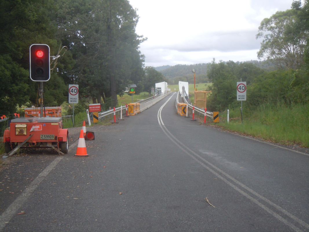
From Oberon, I returned to Tarana before taking a new road through Byalla, Portland and Cullen Bullen. Not long after that I stopped to address what looked like serious oncoming rain by putting my phone and camera away and pulling on some waterproof gloves. Taking off, I was soon stopped by road works during which time whatever I was listening to stopped playing and the voice in my head told me my mobile phone was disconnected. Strange, I thought. It was only in the top box and the Bluetooth connection should work OK from there. On the other side of the road works I stopped and searched the top box and my clothes. No phone. Clearly I'd dropped it while I was trying to get waterproof.
Back I went through the road works and easily found the spot where I'd stopped — there was something memorable about it at the time, but I don't recall now. There was my phone, face down on the ground and unharmed. Phew! Double phew!
Through the road works for the third time — the safety officers and I were best mates by then — and on to Ilford where I was back in familiar territory. I stopped in Rylstone for a cold drink and fuel, took off the wet weather gear again, and headed up the Bylong Valley. Sadly the Bylong General Store — usually good for a cup of tea and fuel — is closed. Maybe for good? Who knows? But happily the Yarrawa Road (which was pretty but slightly treacherous dirt when last I rode it) is now sealed and a fun shortcut to Denman.
A room at the Denman Motor Inn, dinner at the Royal Hotel, which has had a makeover since I stayed there once, and plotted my route home the next day.
Day 9: Denman to Stanthorpe
17 January 2025

Click on this map and be taken to an interactive map of part 2 of the ride
Rain was again forecast (and likely) on the roads over the range that would be my preferred route. I decided to stay west of the range and rode north up a couple of back roads past an enormous coal mine. It's a crap picture, but there's coal to the left and right of me as I ride down this hill.

Just north of Aberdeen I joined the New England Highway and made my way north to Tamworth where Australia's major country music festival was underway. Somewhere along the way I stopped for a fight with the onesie — again — watched by these blokes who were totally indifferent to my plight.

It was windy and hot at Tamworth. There hadn't been much rain and there was no little sign of it. I took off the onesie, ate badly and drank bad coffee before skirting the main part of the town and heading north on the road through Manilla to Bingara where I stopped for more fuel.

Between Tamworth and Bingara

The main street of Bingara

The muffler showing the signs of too many encounters with the rain
It was hot again and I stopped for a cool drink and fuel at Texas. I've written about Texas before. For some reason it appeals to me. It's a tiny town on the Queensland – New South Wales border and always seems to me the antithesis of the US state of Texas, renowned for its size. Does it also remind me of the movie, Paris, Texas?* I'm not sure.
I like the road from Texas to Stanthorpe and it's been a good while since I've ridden it, so I set off thinking I'd simply take the main road home once I arrived on the outskirts of Stanthorpe. Of course, unexpected rain got in the way: not much; just enough to make me realize I was tired. Stopping was a smarter thing to do. So I did. Am I getting old?
The Boulevard Motel was clean, reasonably priced and comfortable.
-----
*Why would it? I don't recall ever seeing the movie!
Day 10: Stanthorpe to Brisbane
18 January 2025

Click on this map and be taken to an interactive map of part 2 of the ride
It was a pleasant enough morning, albeit cool, and I set off for home deciding to avoid the less-than-appealing Cunningham Highway and take the pretty road through the gap to Fordsdale and Gatton before a run over Mt Glorious and Mt Nebo — the Brisbane recreational motorcycle route.
I took only one photograph: as I pulled into the petrol station in Warwick to refuel, I hit a milestone. Based on the conventional divisor of 1.6, this makes 100,000 miles in the old money. It actually isn't: the number is 160,934.4. But it'll do me for a milestone.

I was home by late morning after another great ride. It will be the last decent time I'll get on the bike for the next three months as other commitments will take me from home and riding.
Thanks AussieFlyer for persuading me to get out.