12 September 2025
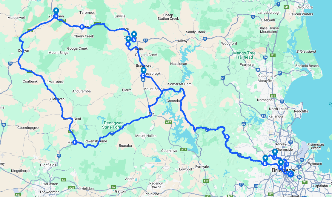
The Map. Click on it to be taken to Google Maps. We went clockwise around the circular bit.
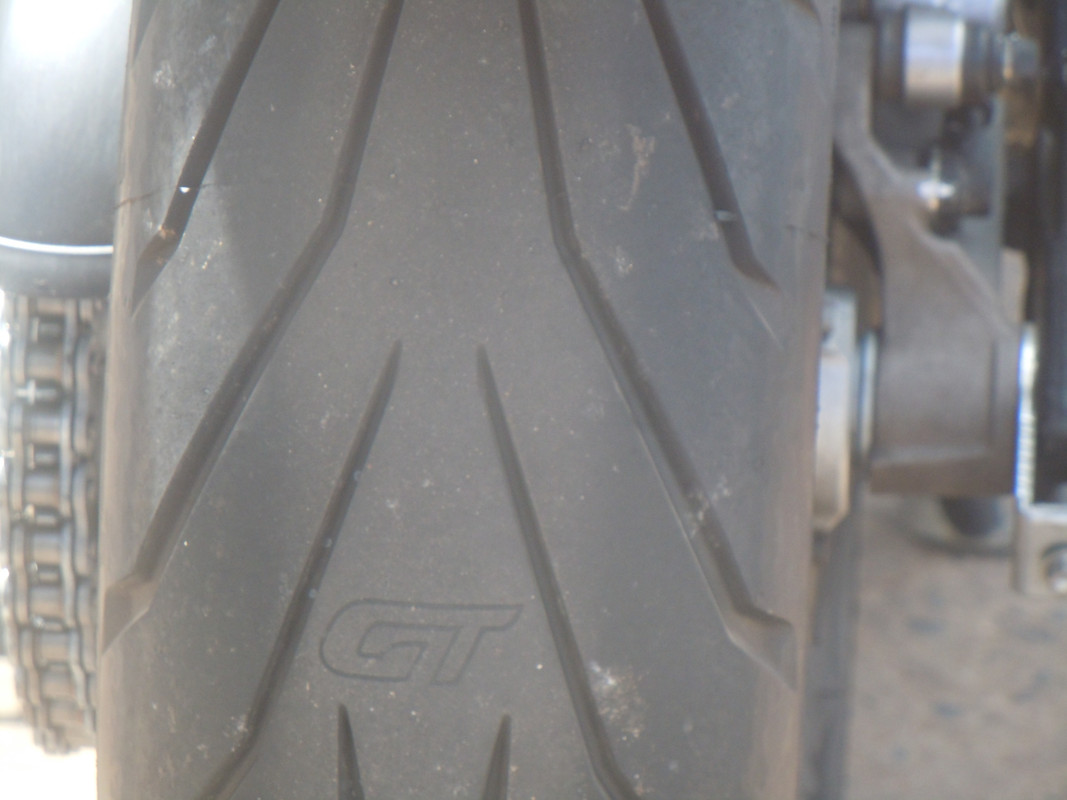
My friend and riding buddy GT loves his bike. I didn't realise how much until I noticed his rear tyre had his initials embossed on it.
I think the last time we'd ridden together GT was still working and I'd needed, yet again, to accompany him to make sure he was safe while he took what he called a 'mental health day'. That was the official position anyway. The truth was that he needed me to plan a ride for him or he'd have ridden in circles around his capacious garage.
Given he's now retired, I arrived at our appointed rendezvous without a thought in my head, let alone a plan. As my other friend, the Lord Popgun, might say, 'disappointed I was'. GT had no plan so, yet again, I had to dig deep.
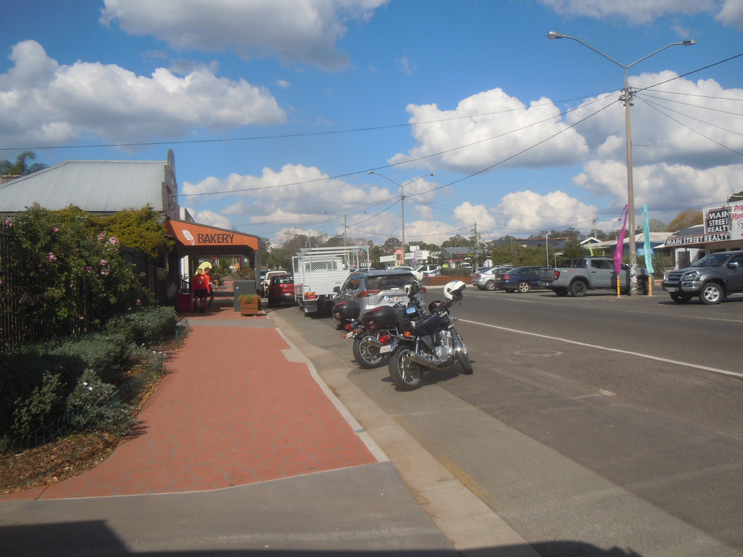
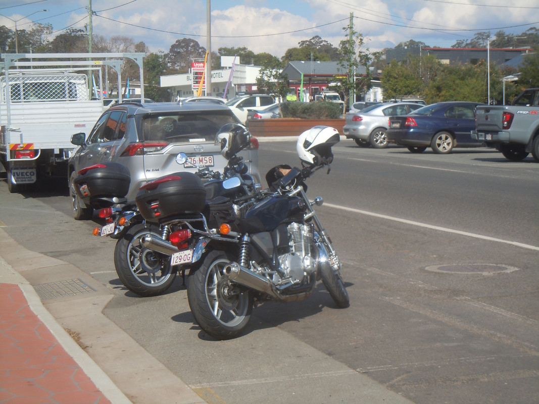
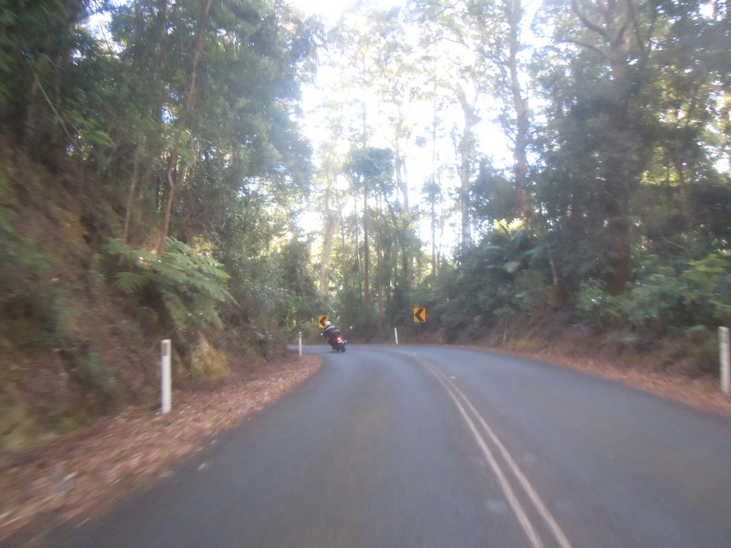
We rode across town to the foot of Mt Nebo and thence up the wonderfully gentle, winding road to the top. One needs to exercise a little caution to guard against being photographed by folks with the sort of cameras that send you a picture for which you are legally obliged to pay with a wad of cash and demerit points, but it's still a wonderful ride.
My left knee (replaced at vast expense in 2022) was uncomfortable and so, having crested Mt Nebo and ridden along the ridge to Mt Glorious, I thought it was time for a break to stretch my legs and take coffee. And, I confess, to come up with some semblance of a plan for the day.
The Mt Glorious Café is friendly to motorcycles and, as usual, there were lots of the kind of people with very fancy bikes who looked like they ought to be working to pay for them. But they weren't; they were out riding in the sun. How do they do it?
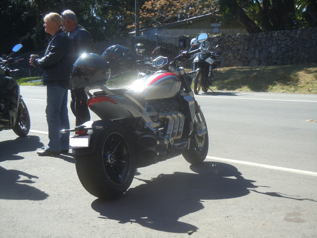
This fancy number parked right in front of us as we sat in the sun with tea and coffee
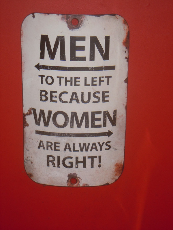
This helpful sign provides guidance to the lavatories but also, maybe, to life
Coffee taken, off we went, down the western side of Mt Glorious — a steep and twisty ride — on to the plain beside the Wivenhoe Dam which supplies Brisbane's water. There's a small hydro-electric scheme there which I should have located to take a competitive photo or two. But I forgot.
It was sunny and a lovely temperature as we rode around the norther end of the lake. GT raced off into the distance …
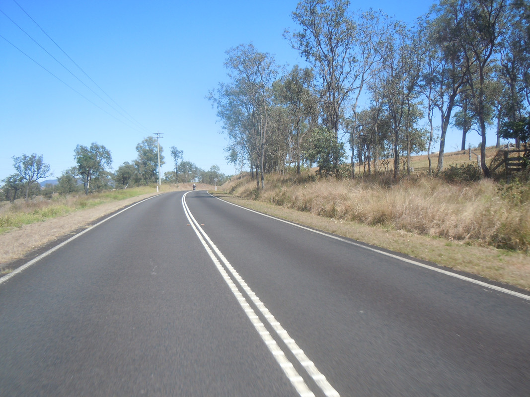
... and I had to reach interesting speeds to catch him.
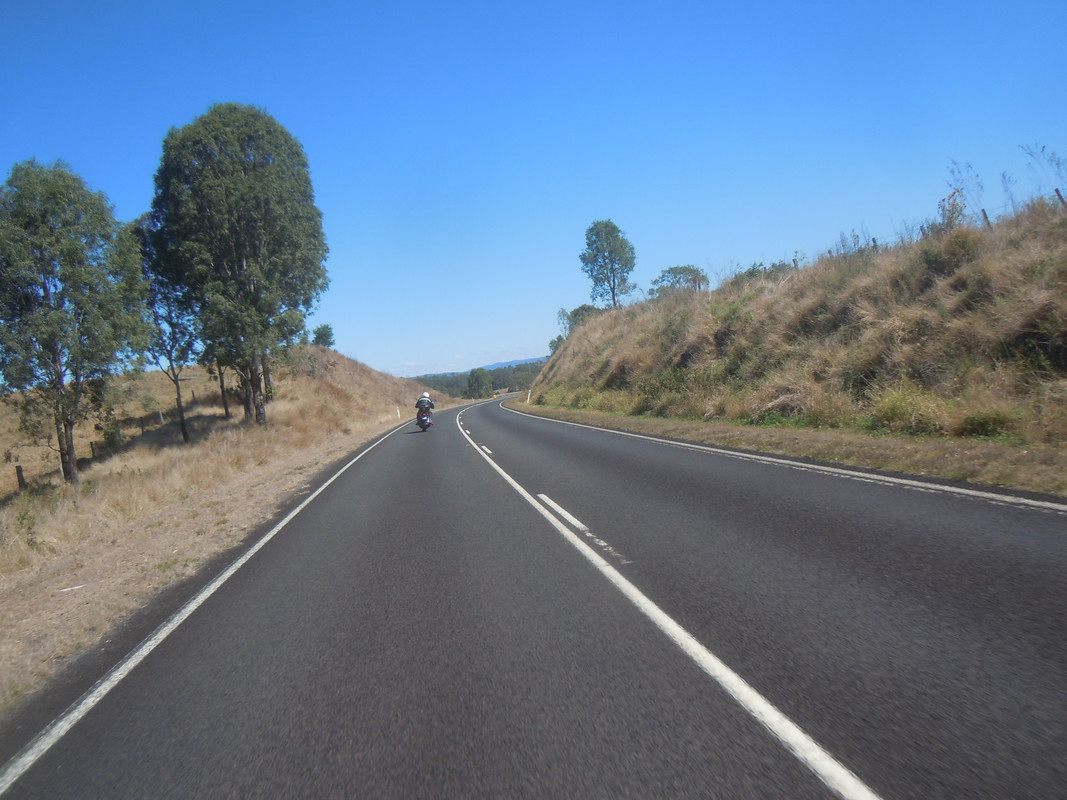
As can be seen, it was a perfect morning for a ride
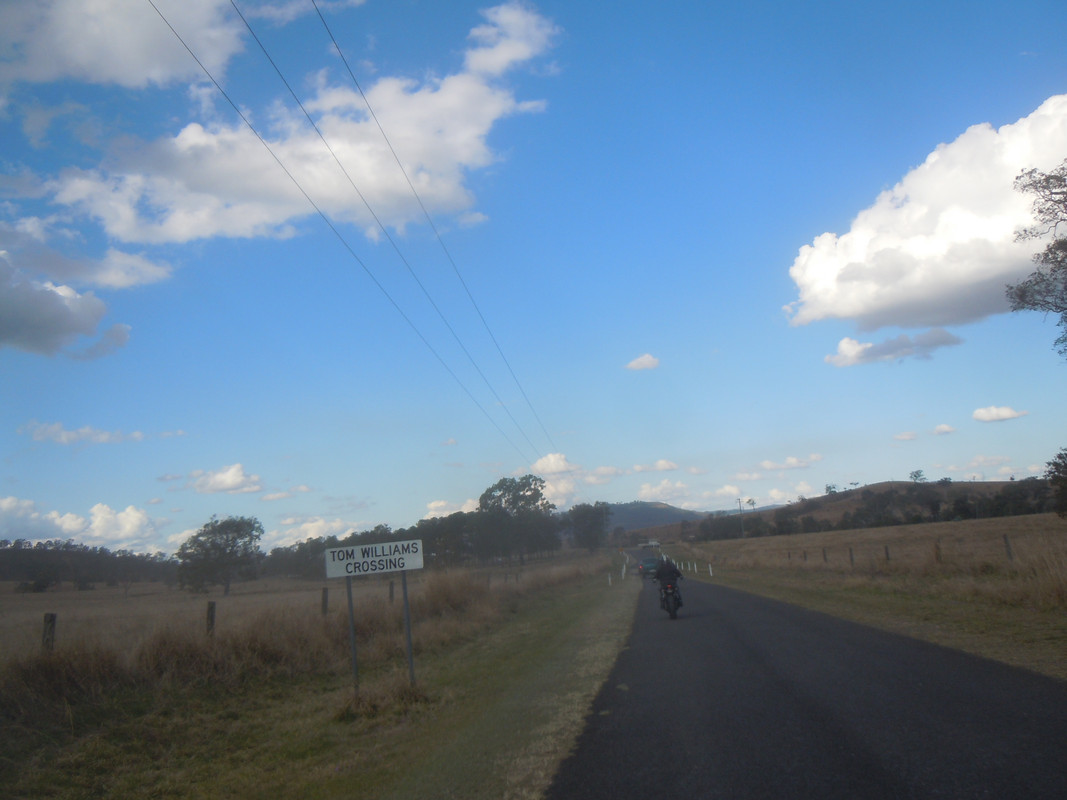
We paused briefly in Esk for a chat and I changed my gloves before we turned right to head up the Great Dividing Range to Hampton on the Darling Downs. As we climbed it got quite chilly so we paused there for more talk, coffee and food.
We then proceeded north to Crows Nest where we refuelled and I wimped out of trying a road that would take us directly to Blackbutt, where I planned another stop.
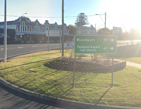
Photo courtesy of Google Street View
Because Toogoolowah was only 47 kms and Blackbutt 57 kms, I made the mistake of assuming it was on the way. It isn't, and I should have known better as I've refuelled at Toogoolowah a couple of times in the past. It meant I committed us to an 88 km ride via Yarraman, but we were there to ride so what the heck.
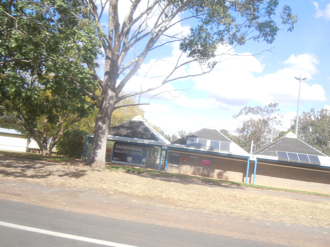
The Yarraman Aquatic Centre
We stopped again at Blackbutt for more talk, a drink and a meat pie for me.
Two fine machines in Blackbutt
I had thought to ride home over Mt Mee, another great motorcycle road adjacent to Brisbane, as it would save us retracing our route. However, a couple of kilometres east of Colinton, we were stopped by heavy traffic and advice that there had been a nasty accident. We were welcome to proceed, but we would be turned around. That wasn't good news as I thought it meant we would have to retrace our steps to Hampton and Esk. Luckily though, near a service station at Colinton we spotted cars turning left onto a back road. A quick check of the map showed it would bring us out just south of the accident on the Brisbane Valley Highway. We could refuel at Toogoolawa and then head back over mounts Glorious and Nebo and be home before dark.
This photo was taken on the back road. It didn't work as I hoped. There was a dusty haze as the narrow road forced trucks and large utilities onto the shoulder, but apparently it vanished as I took the shot. Maybe I dreamt it.
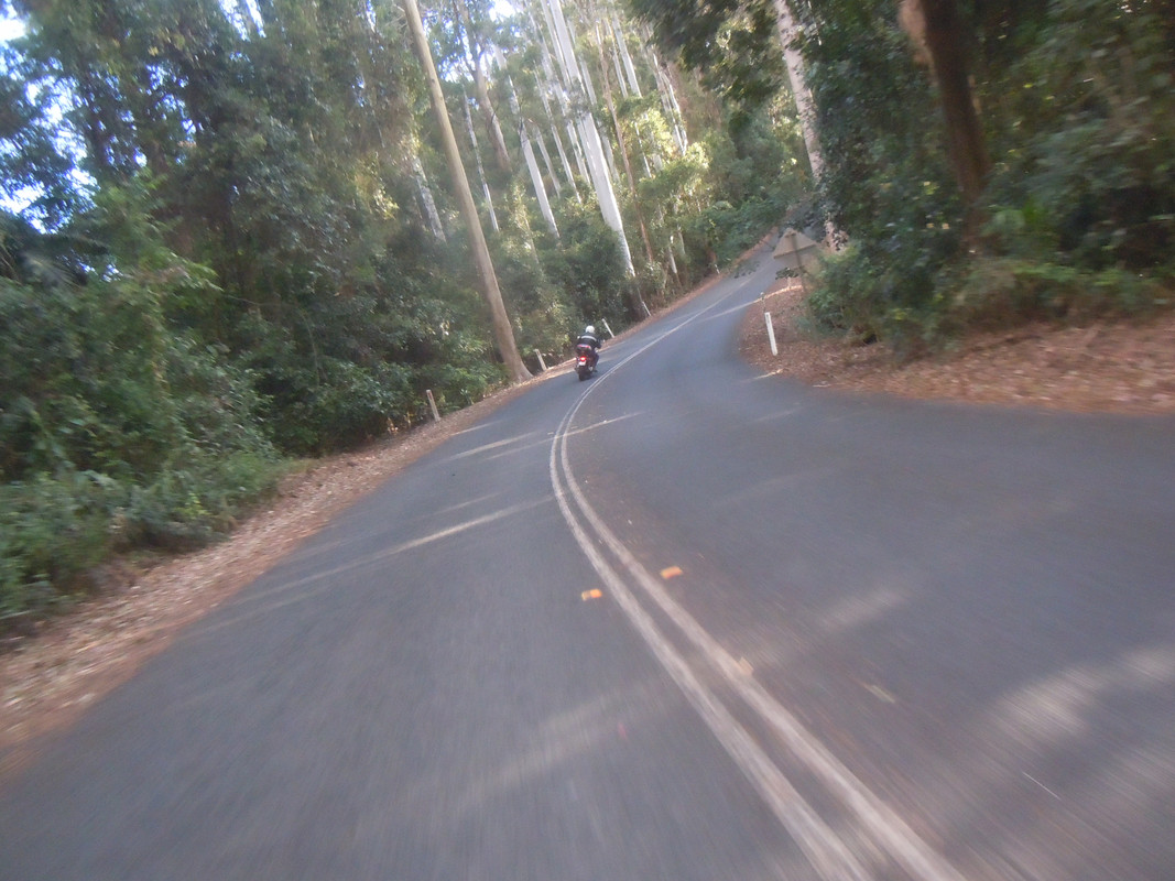
I can report that we had a spirited ride along the Mount Beppo Road and back up the mountain. GT had found his grove by the time we reached the Northbrook Parkway and showed me how to climb a hill.
Thanks GT. A great day.