Cooma - Omeo
15 October 2014
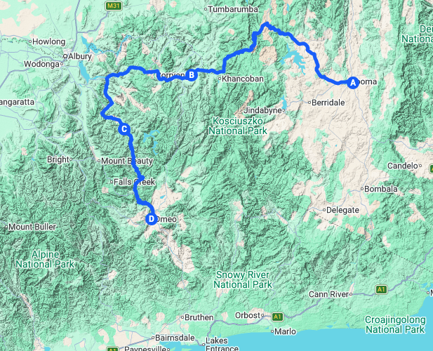
Master Map
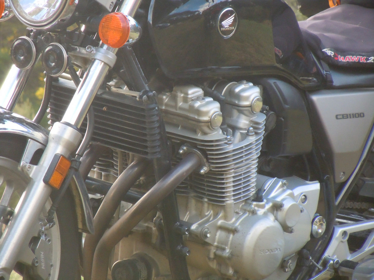
Early the day before, we'd realised Pterodactyl's tail light was not working. It was hard, but Jalalski and I restrained him from making a long, voluble protest on the forum about the poor quality of the CB's manufacture. He seemed to think a tail light should last more than 40,000 kms. Jalalski was up very early and replaced the globe which fixed the problem. He'd also been watching the news and seen that Sydney had been pelted by an unseasonable storm. There was chaos in the city as snow had fallen on the Blue Mountains to the city's west (where I'd been riding only days before). There was a logjam of traffic and we were very pleased not to be making our way out of the city in it. The forecast was not all that encouraging, although the weather was expected to improve as we made our way south. And, of course, we had to ride across the highest country in Australia to get where we were going.
Pterodactyl and I had washed the worst of the grot from the previous day off our bikes. Jalalski laughed at us and pointed to the virtues of bikes with big fairings and lots of plastic. We had a leisurely breakfast and Pterodactyl went in search of an optometrist to get a replacement screw for his spectacles.
By then it was raining, but lightly and sporadically. We donned our wet weathers again and set out on the Kosciuszko Rd for Jindabyne. There were occasional showers and it was cold.
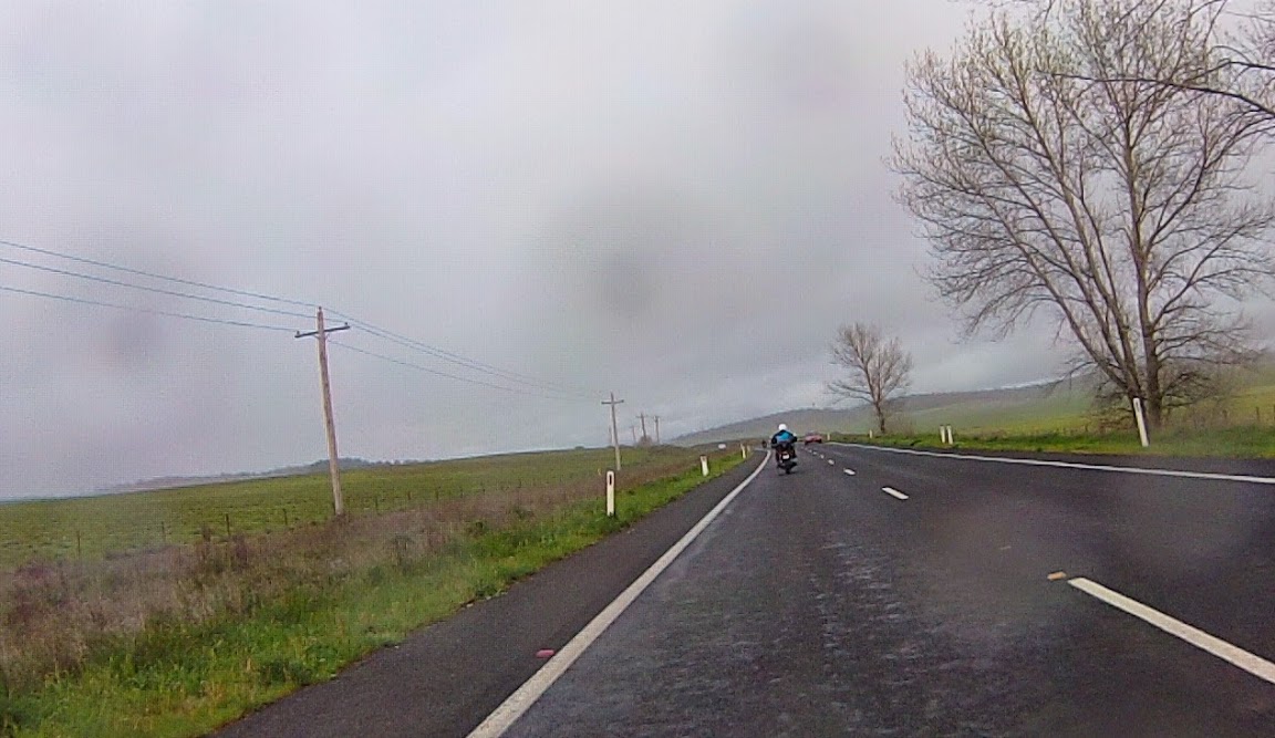
Leaving Cooma (Courtesy Jalalski)
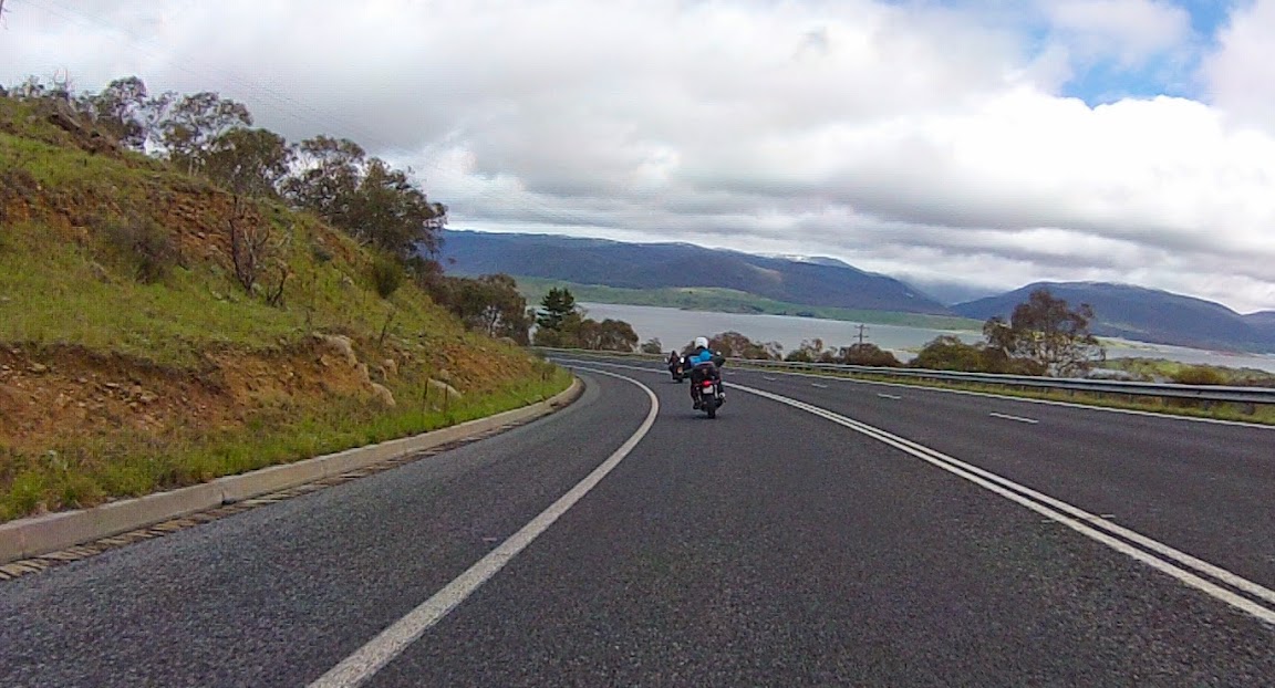
Approaching Jindabyne with Lake Jindabyne in the background. The vigilant will catch a glimpse of the snow on the mountains. (Courtesy Jalalski)
Mt Kosciuszko is the highest mountain on the Australian continent at 2,228 metres (7,309 ft) and sits in the Kosciuszko National Park, in the Snowy Mountains which also form part of the Great Dividing Range that Pterodactyl and I have ridden up and down for most of the length of NSW. In Queensland too, but not together.
After Jindabyne the road becomes the Alpine Way and you soon come to the ranger station at the boundary of the national park. If you're not passing directly through, they relieve you of some cash for the pleasure of visiting. At this point it was clear, even to the untalented observer, that the unseasonal weather had stretched south of Sydney.
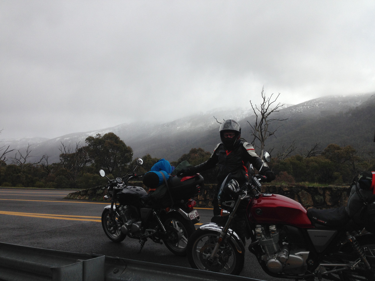
There's snow in them thar hills!
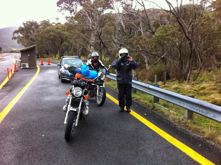
At the ranger station, Kosciuszko National Park. (Courtesy Jalalski)
The helpful woman in the ranger station told us there were reports of snow up ahead. Jalalski, I think, asked whether other bikes had been through ahead of us.
"Yes," she said.
"How many?"
"Oh, about 30 or so."
"Have any come back?"
"No."
So, have they not come back because they've all slipped off the road? Or is the road passable?
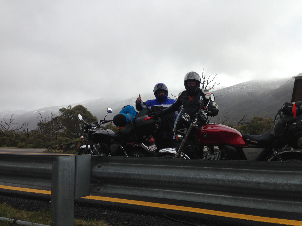
After a bit of a huddle, a decision is made: we'll push on.
"You lead, mate," they said to me.
"Oh, good," I thought, "They can watch me slide off the road."
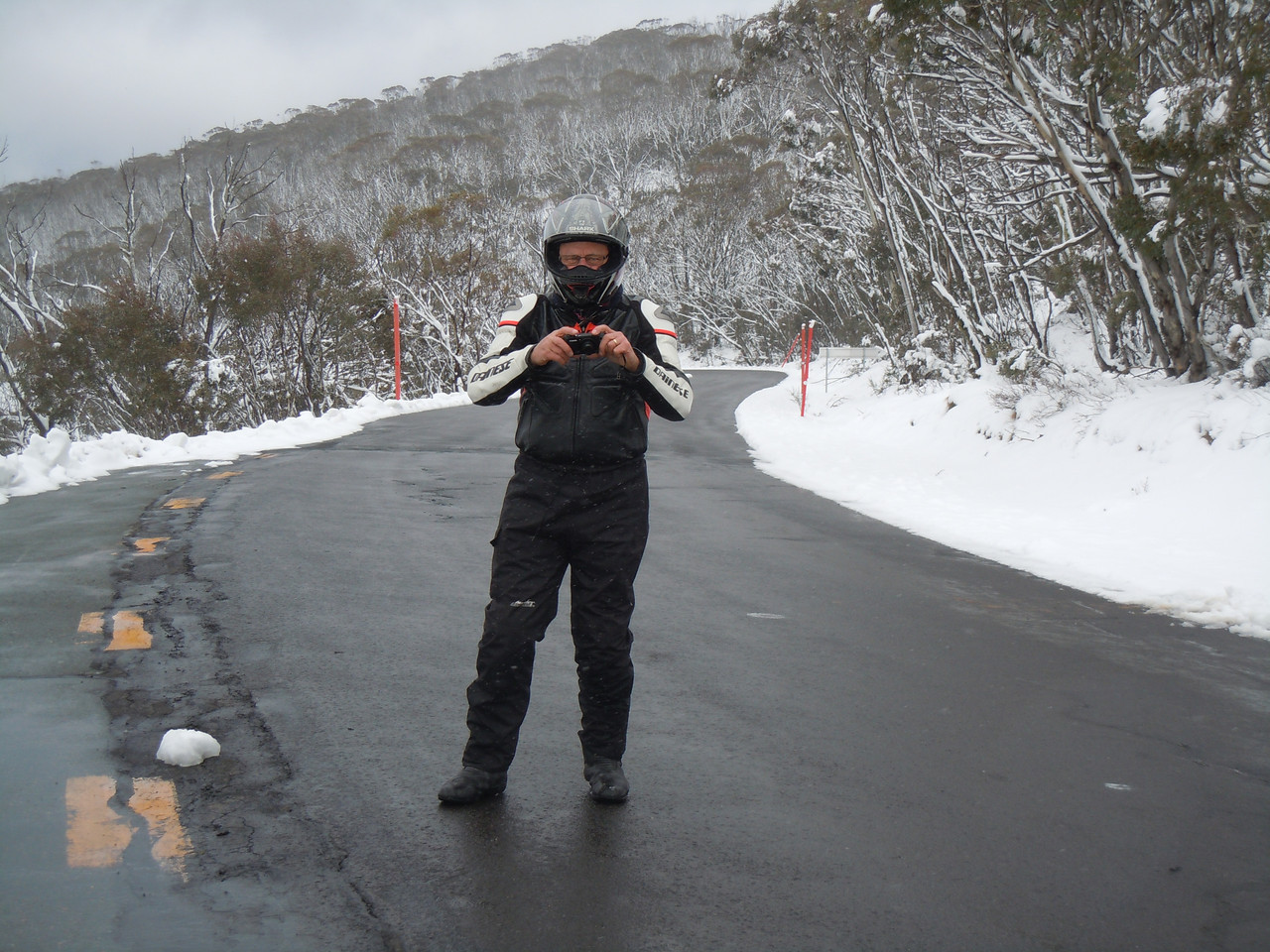
It was beautiful. Yes it was cold. Yes it was overcast and there were occasional spots of rain. Yes the road was wet. But there was snow to each side of the road and on the hills and it was very lovely indeed.
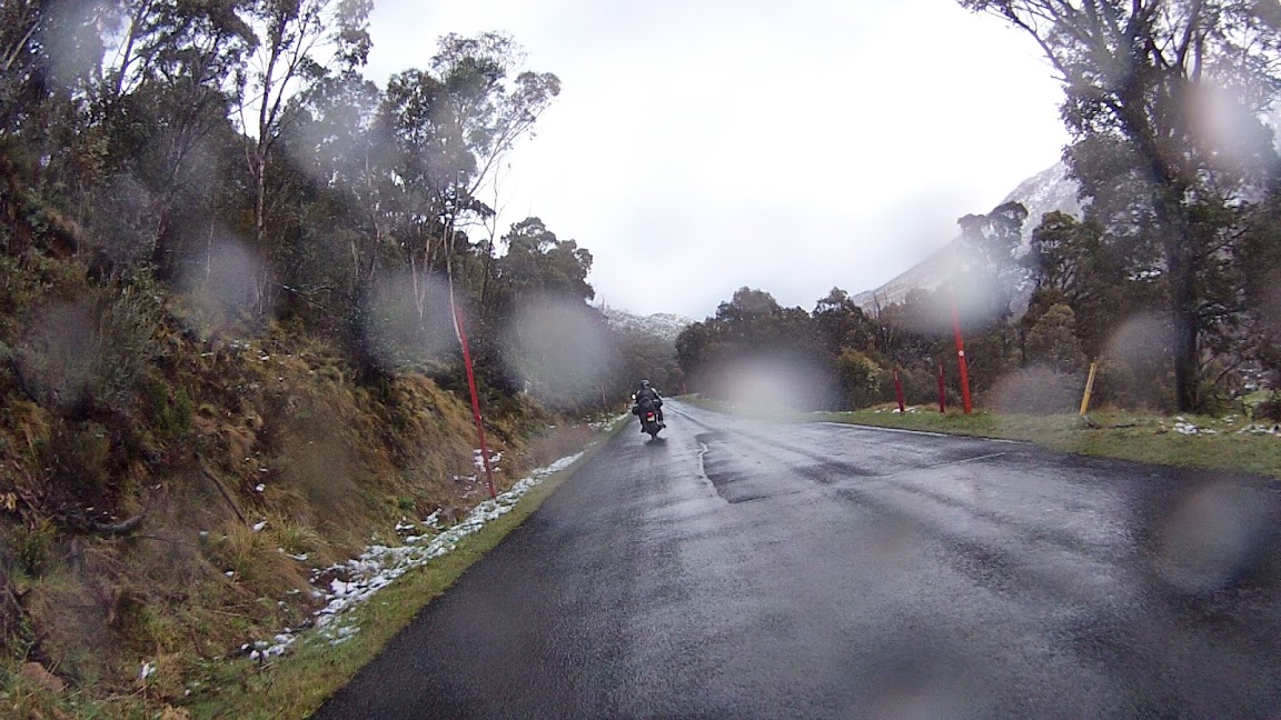
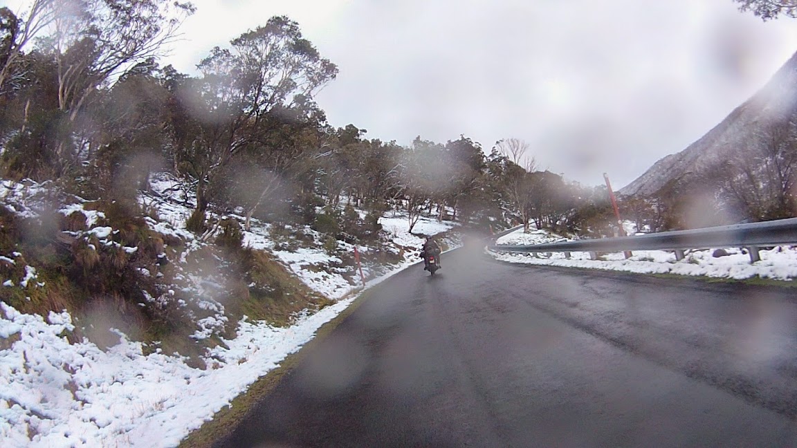
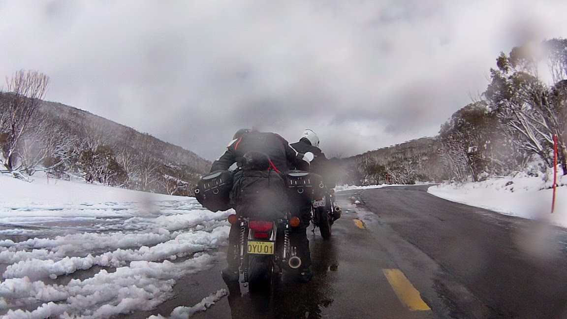
Coming into the snow and stopping at Dead Horse Gap. (courtesy Jalalski)
After a time we came to Dead Horse Gap.
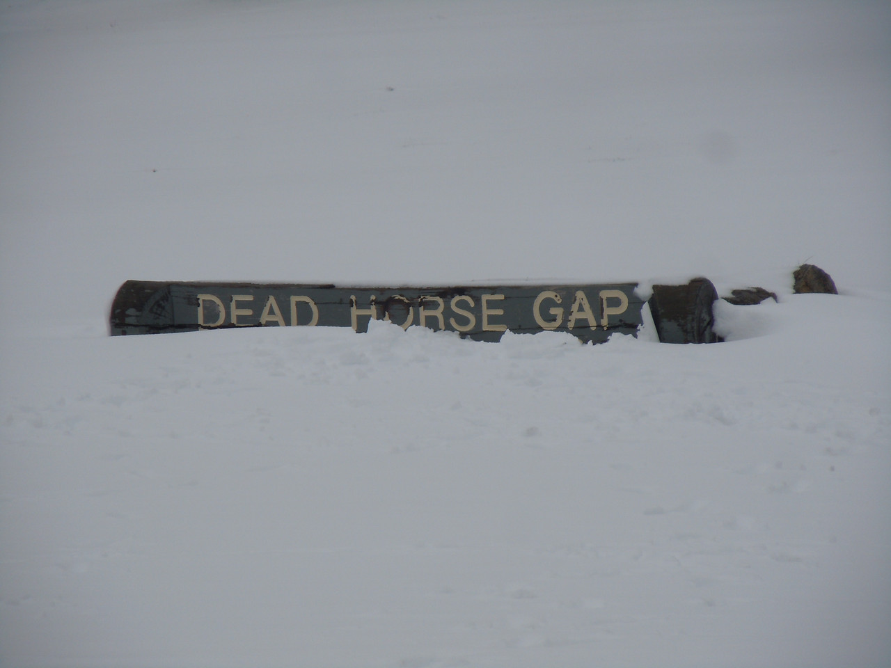
If you follow the link above, it will take you Google Maps and at least one photo of Dead Horse Gap on a dry day.
It seemed a good idea to take some photographs, so I stopped and we all hopped off. While the shutters were clicking, some bikers came up from the way we were heading and told us it was snowing up ahead. Great!
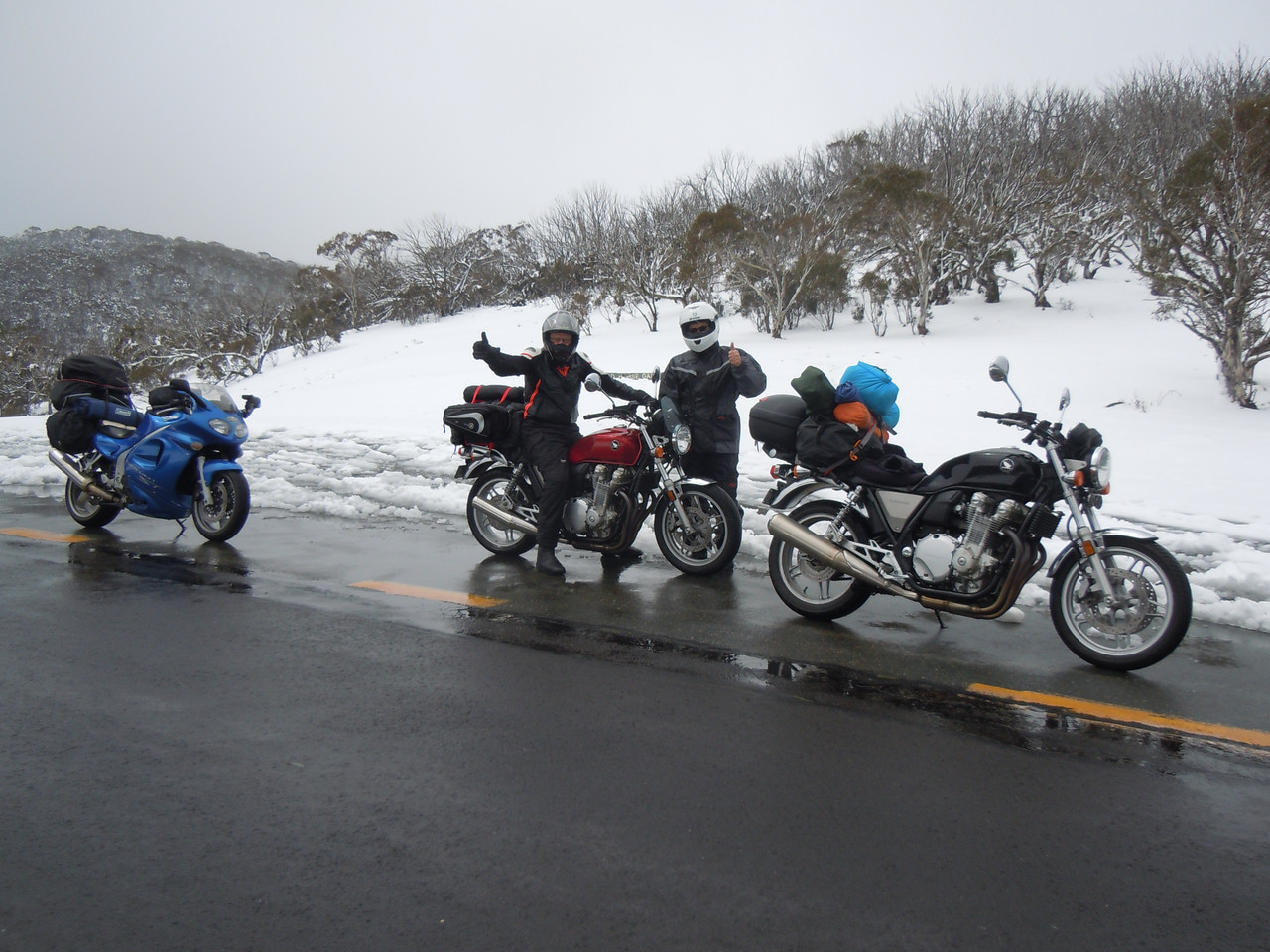
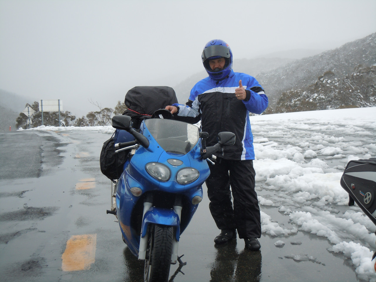
We didn't get snowed on and had a lovely ride down the twisty Alpine Way and the Murray Valley Highway until we stopped for lunch at Corryong. I have no memory of what we ate.
It's completely irrelevant, but the Murray Valley Highway is so named because the Murray River that Pterodactyl and I spent some time beside on an earlier trip has its source in the Snowy Mountains.
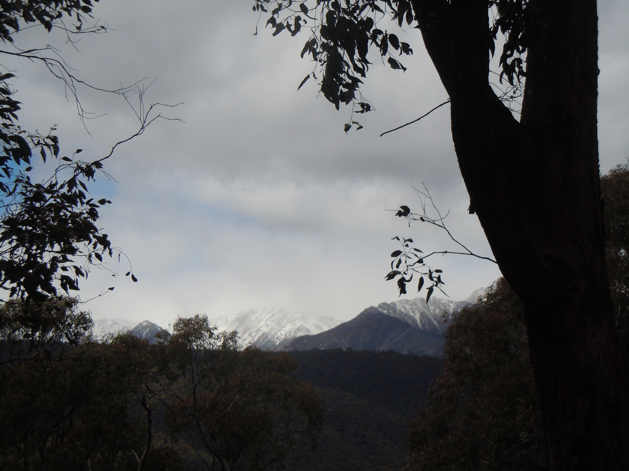
A view back to the mountains and signs of the weather improving
The better weather also meant I could hang my camera around my neck again.

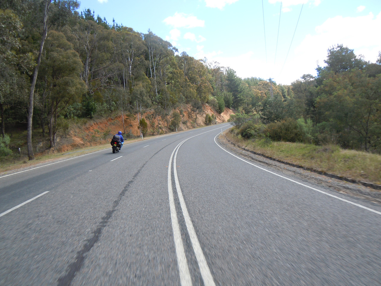
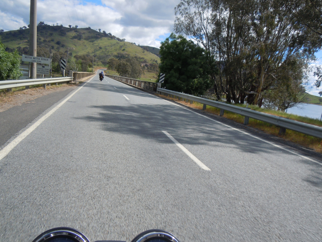
Just after this bridge, we turned left on to the Omeo Highway and a pleasant ride on a good road through low alpine farmland for about 55 kms until we reached Mitta Mitta where we refuelled.
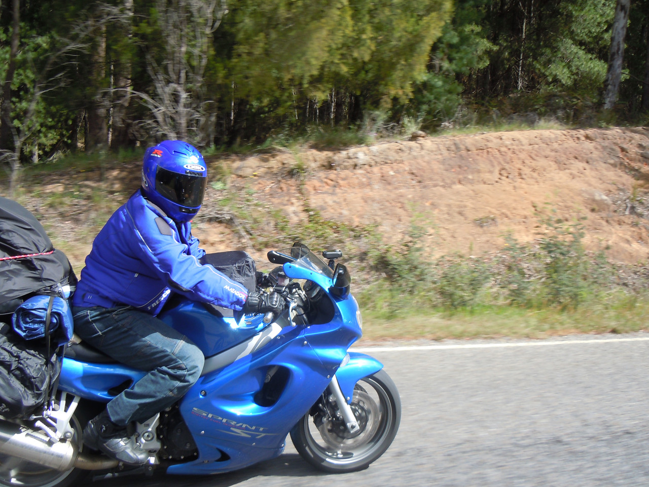
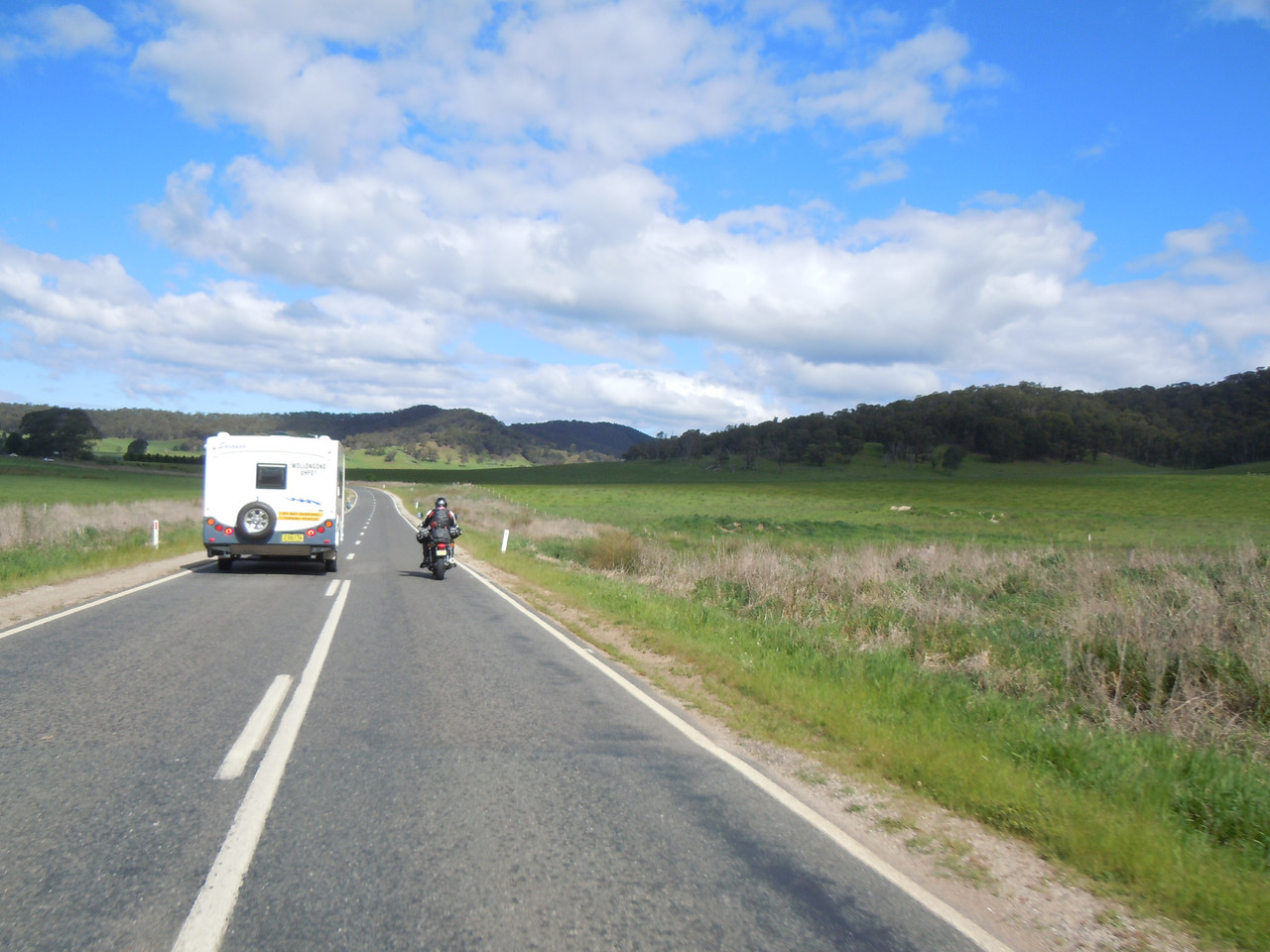
The road to Mitta Mitta
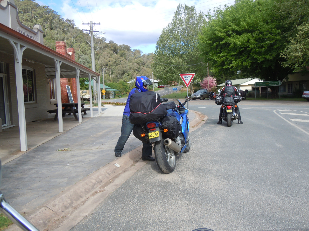
Jalalski's bike was well loaded with Ventura bags, saddle bags and God knows what else. It was a bit of a struggle for him to get on as the Ventura bags made the load too high for him to stand on the footpeg and swing his leg over. Fortunately Jalalski is a younger man than either Pterodactyl or me and was agile enough to develop an elegant hop-step to get himself onto the bike. It never failed to make Pterodactyl laugh. I didn't quite catch it here, but you can get a vague idea.
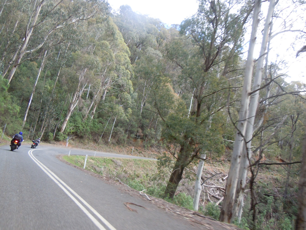
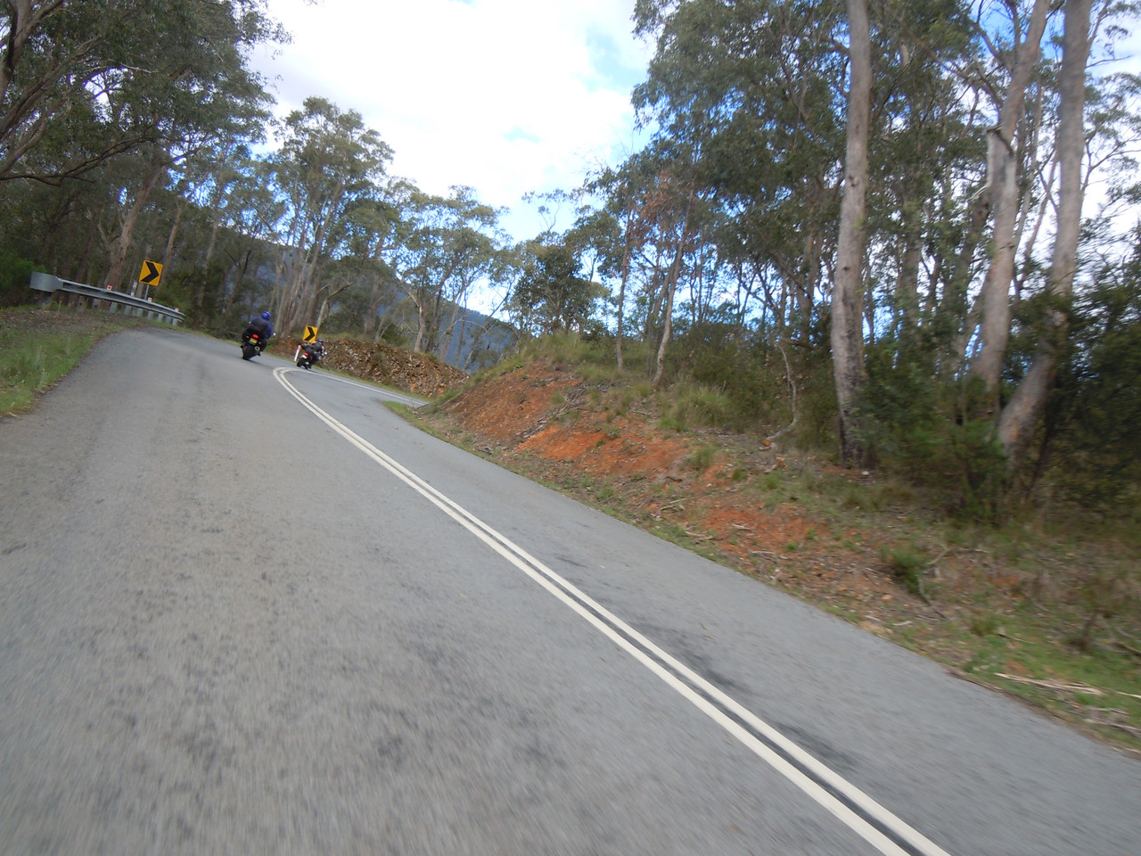
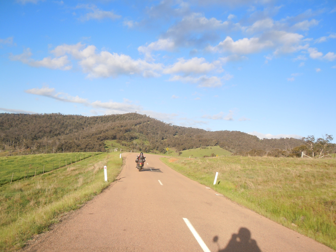
For around 96 kms from Mitta Mitta to just north of Omeo was — for me at least — the best road of the trip. It was twisty with generally gradual rise and fall. There was next to no traffic. The road was dry. It was well marked and, even better, on many a left-hand corner the vegetation had been cleared so you could see far enough ahead to be able to use as much of the road as you liked. Much of it was the sort of low-alpine Australian bush I really like. Occasionally we raced alongside pretty streams. The only mild negative was the amount of bark on the road, probably from the storm the night before.
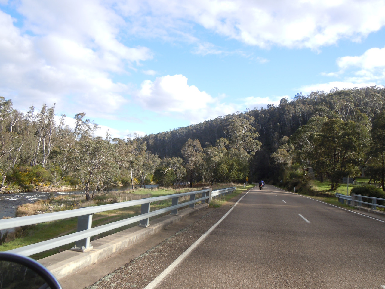
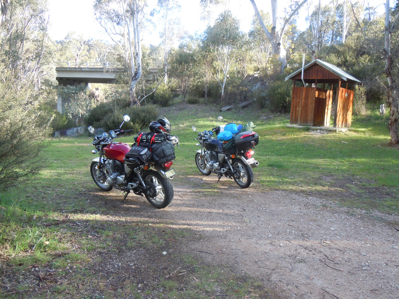
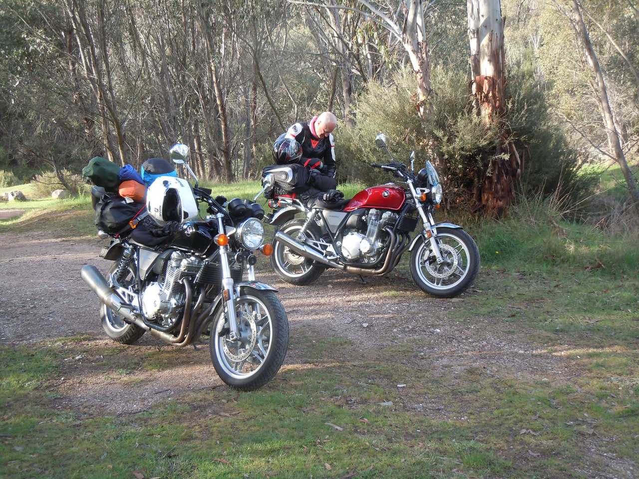
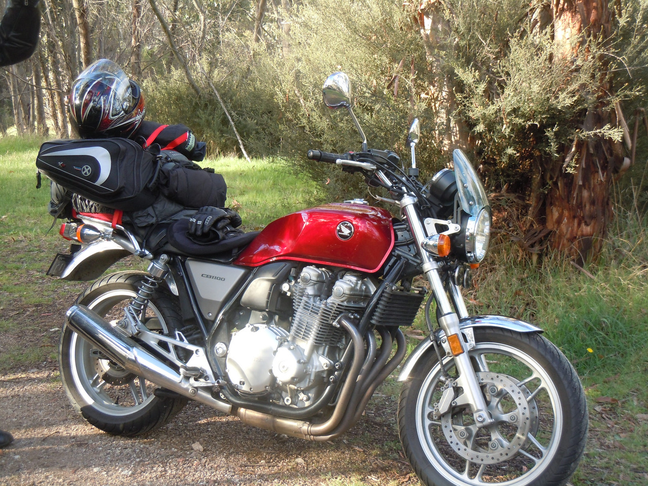
We had a comfort stop by one of the streams.
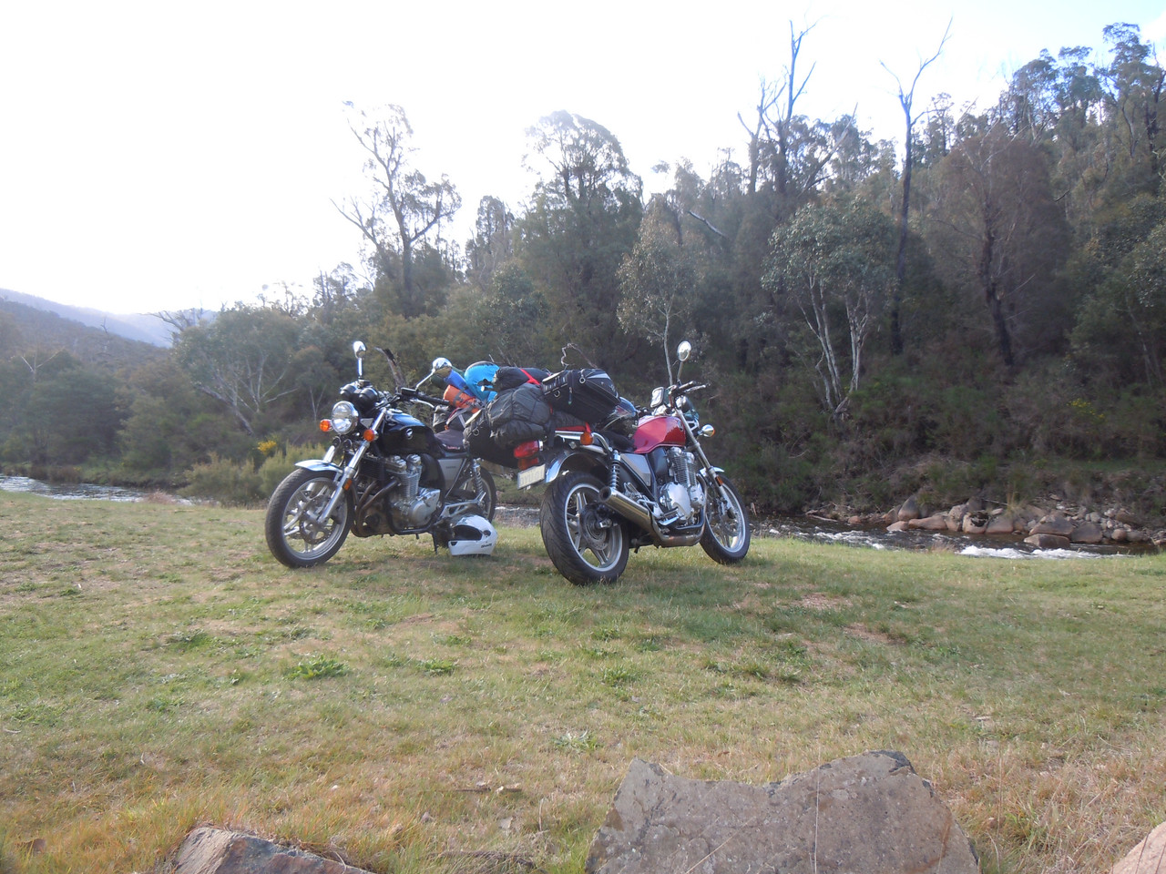
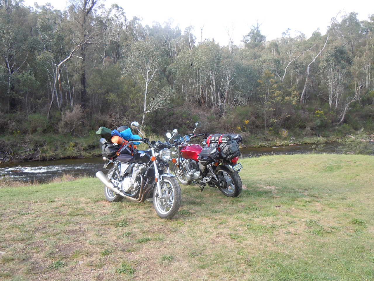
And so it came to pass that we came to the Snug as a Bug Motel in Omeo, tired but very happy from a good day's ride. Dinner was taken at the Golden Age Hotel, Omeo, in company with many another motorcyclist making the pilgrimage to Phillip Island.
