Melbourne to Mt Beauty
10 November 2016
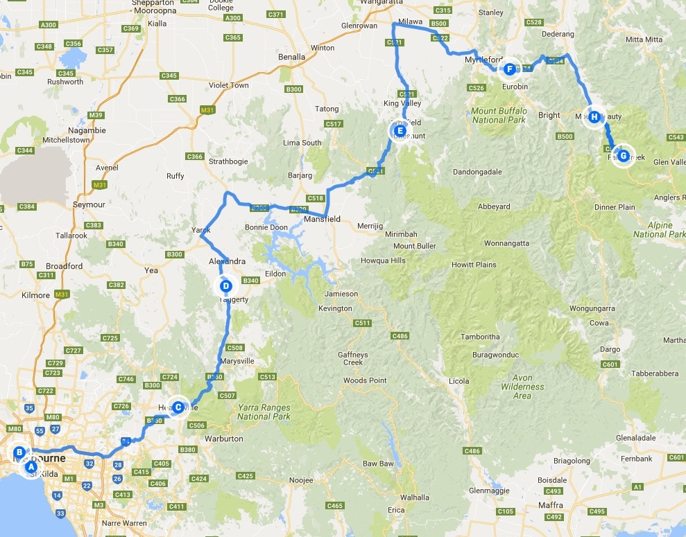
Click on the image for a detailed map
The ship arrived at its usual ungodly hour and I was quickly below to get on the bike and ashore. There were no dramas and I was soon at my niece’s house to collect the gear I’d abandoned when Mrs Cormanus joined me. My niece and I had breakfast at a local café; she went off to work; I repacked my gear and went on my way.
Leaving Melbourne, I headed north-east through the suburbs and soon arrived at Healsville. I went there because it was in the direction I wanted to go and because I keep reading references to it on the Australian motorcycle forum I watch.
North east from Healsville, there’s a lovely ride through bushland. It was particularly pleasant on a day becoming warmer.
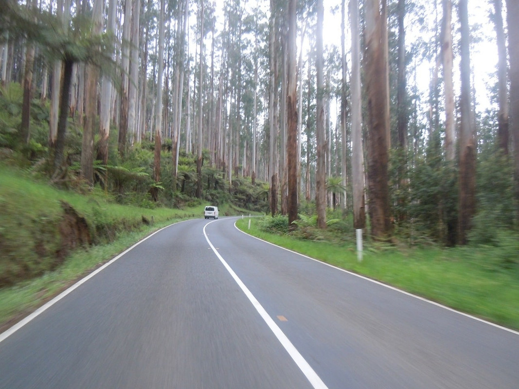
The road north-east from Healsville
The road was pretty enough, but not inspirational, but, hey, you can’t always have that when you’re touring, can you? Indeed, touring is often enduring the roads that get you to the corners you want to turn.
The route took me past a place called Bonnie Doon, famous for a scene in the quirky Australian comedy The Castle.
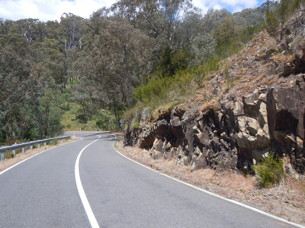
The road north of Bonnie Doon
I stopped for an unmemorable lunch at a place called Whitfield. I didn’t think there was too much to see, really: a café, a signpost and a pub. However, after lunch I rode on and found a slightly more substantial town.
In so far as I had a plan it was to ride to Bright and then maybe over the Bogong High Plains Road to spend the night at Anglers Rest on the Omeo Highway. So I pushed on northwards to Oxley where I turned to head slightly south east towards Myrtleford. It really was a glorious day for a ride with clear blue skies and a pleasant temperature. It was an agreeable respite from much of the cold I’d ridden in since leaving Sydney on Day 6.
At Myrtleford I realised that the quicker of the alternative routes to Mt Beauty (where the Bogong High Plains Road starts) would not take me to Bright. Just after leaving town, I turned left and had a lovely ride east along Happy Valley Road which turned into Running Creek Road and led to the Kiewa Valley Highway. Looking at the map, I suspect it may be less inspiring than the Tawonga Gap Road. Next time.
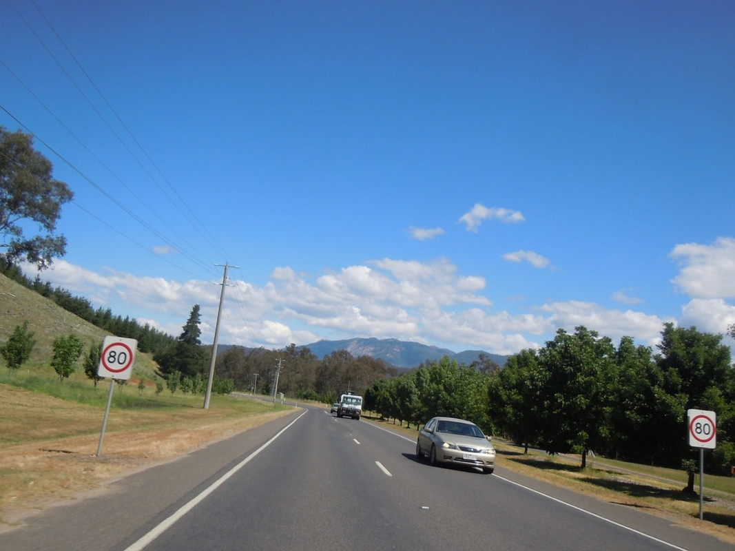
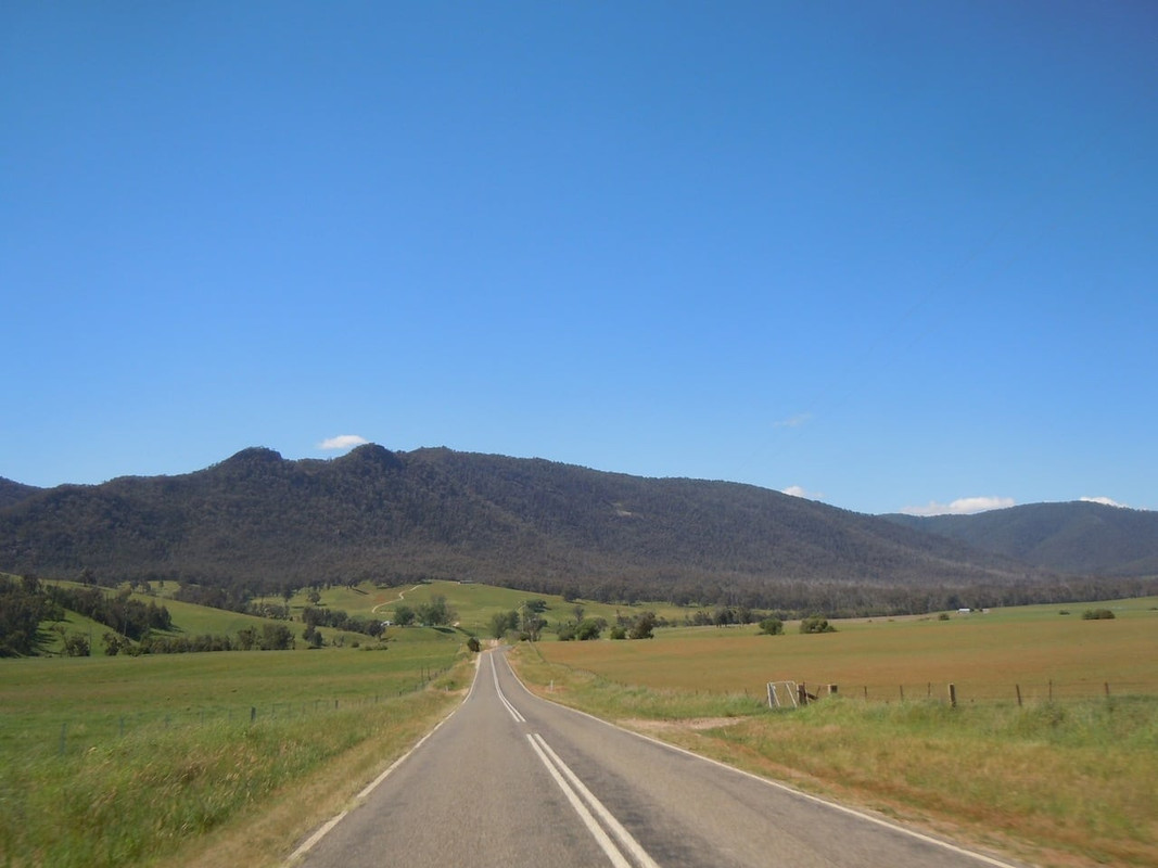
Between Myrtleford and Mt Beauty. You can see the road winding into the hills.
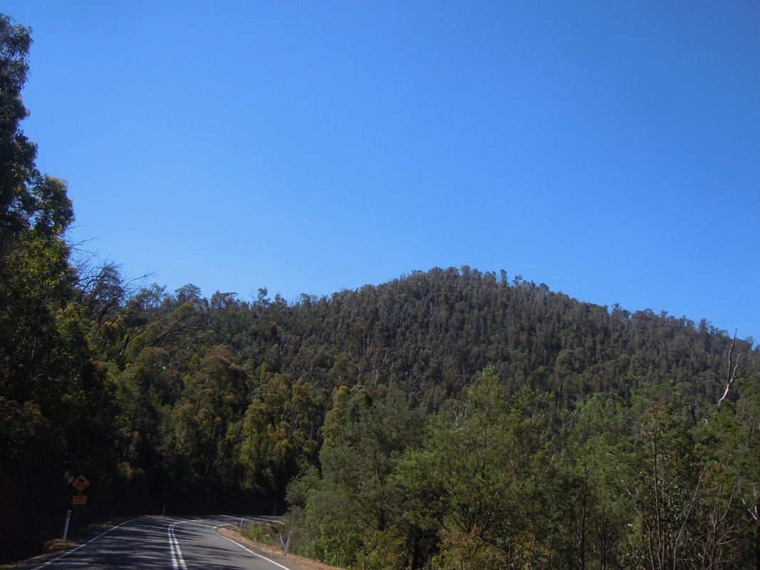
Pretty hills and road between Myrtleford and Mt Beauty.
It was around 3 pm when I filled up at Tawonga and set out for Falls Creek, the Bogong High Plains and Anglers Rest and I had a good two hours ride in front of me.
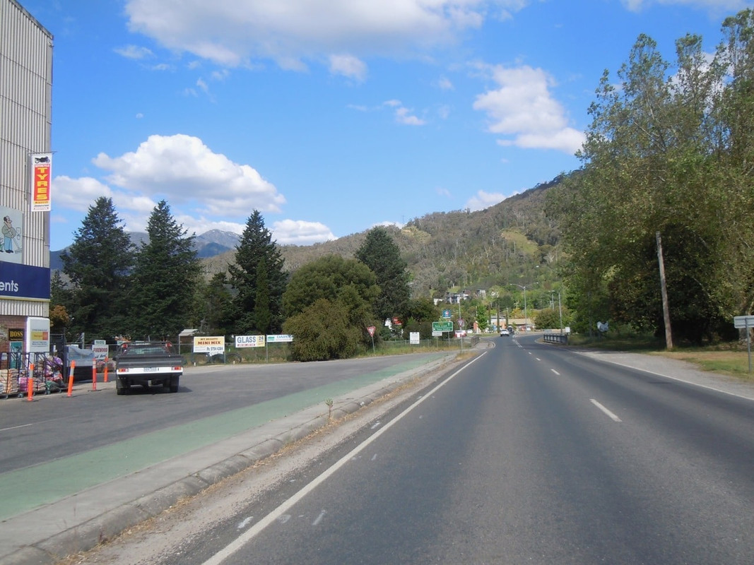
Approaching Mt Beauty. I’m not totally sure of the name of the mountain slightly to the left of centre, but it had patches of snow on it
Falls Creek is a ski resort and there was nothing at all happening there when I arrived. I suspect because there wasn’t really any snow. It was a great ride to get there, around corner after corner of mountain road. The line markings soon changed colour from white to yellow to indicate where the snow line is.
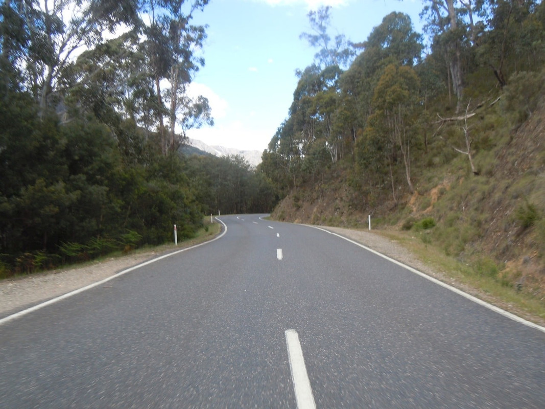
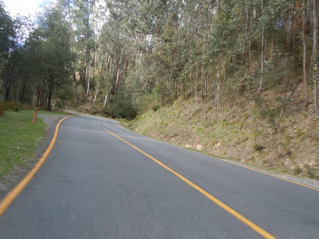
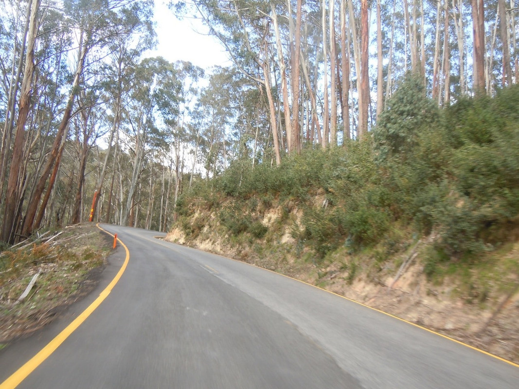
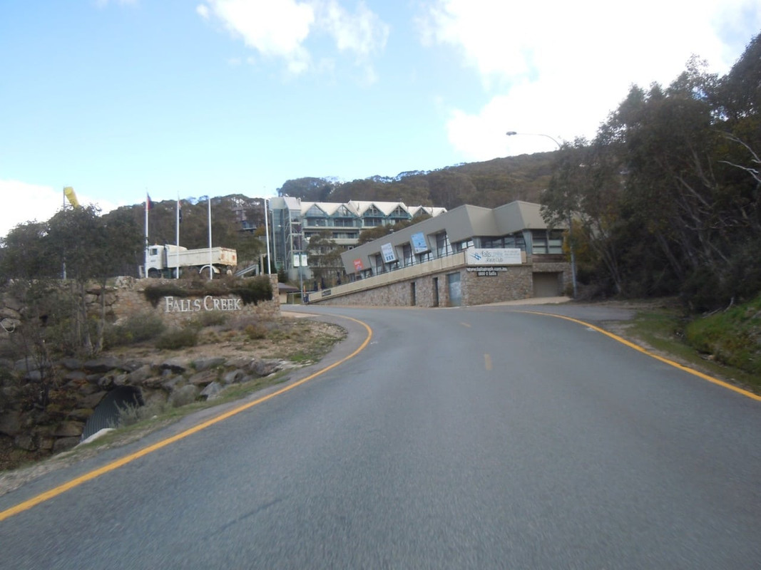
Arriving at Falls Creek
I cruised through Falls Creek and quickly came to a sign telling me that the rest of the road was closed. So I got off in the very chilly alpine air, took a photo, turned around and headed back.
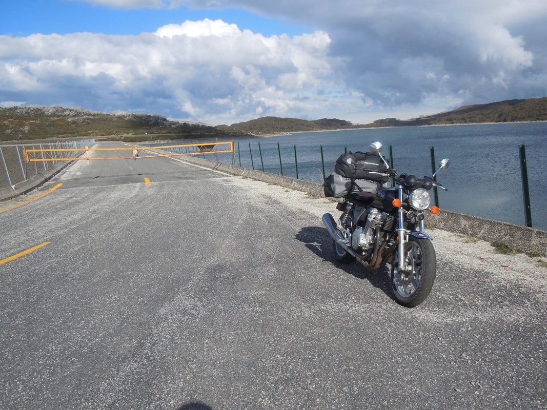
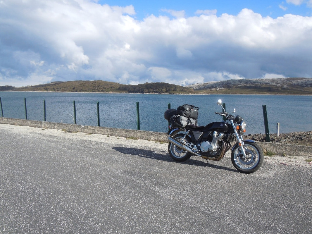
Somewhere down the hill I pulled over to take a photo. A white Subaru station wagon went past me going at a good lick. I pretty much caught him by the bottom of the hill, but he clearly knew the road extremely well and I had to work hard for it.
I felt like I’d earned my glass of beer and dinner at the Settlers Tavern.
